St Thomas Fort
From Warlike
Fort Thomas or St. Thomas Fort or Fortaleza de São Tomé, also known as Tangasseri Fort, is a ruined fort located in the beach town of Tangasseri on the shores of the Arabian Sea in the city of Kollam, Kerala, India. It is located around 5 kilometres (3.1 mi) from the city center of Kollam and 71 kilometres (44 mi) from the state capital Thiruvananthapuram.
Wikimedia, Wikidata
Tangasseri Fort
India, India, 
-
Location: 8.8816, 76.5685, KML, Cluster Map, Maps,
3 places
-

Battle of Quilon ⓘ
1809 battle in India -
Fort Zeeborg ⓘ
fort used by the Dutch East India Company -

St Thomas Fort ⓘ
human settlement in India
{"selectable":false,"showCurrentTime":false,"width":"100%","zoomMin":100000000000}
 AMH-2605-NA Representation of Fort Coylan's reduction in size
 AMH-2604-NA Representation of Fort Coylan
 AMH-6951-KB Bird's eye view of Coylan
 Fort in Thangassery, Kollam
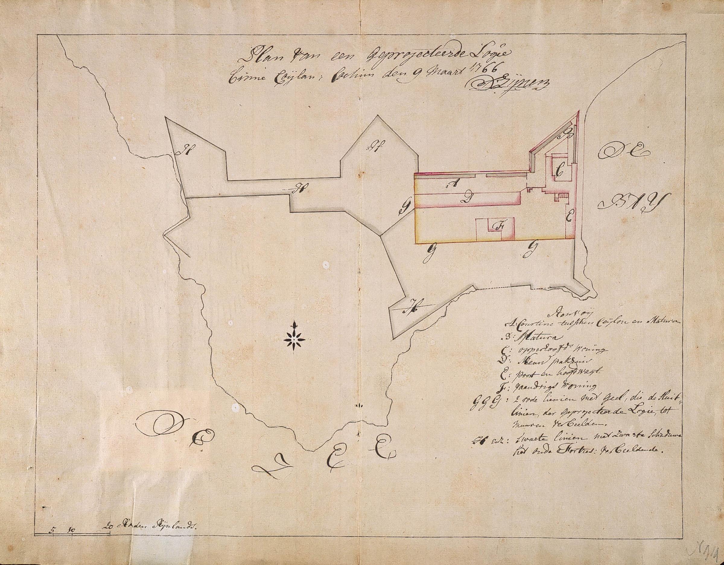 AMH-2606-NA Map of a lodge in Coylan
 Thangassery 17th Century Dutch map
 Hand-made drawing of the Portuguese fortress of Caulao (Quilon), by Gaspar Correia
 Thangassery Fort Left view
 Kollam by António Bocarro in 1635
 Thangassery Fort Right view
| Type | Subtype | Date | Description | Notes | Source |
|---|---|---|---|---|---|
| event | armed conflict | 1809 | Battle of Quilon | battle | Wikidata |
| site | fort | Fort Zeeborg | fort | Wikidata | |
| site | fort | St Thomas Fort | fort | Wikidata | |
| commons | image | AMH-2605-NA Representation of Fort Coylan's reduction in size | Commons | ||
| commons | image | AMH-2604-NA Representation of Fort Coylan | Commons | ||
| commons | image | AMH-6951-KB Bird's eye view of Coylan | Commons | ||
| commons | image | Fort in Thangassery, Kollam | Commons | ||
| commons | image | AMH-2606-NA Map of a lodge in Coylan | Commons | ||
| commons | image | Thangassery 17th Century Dutch map | Commons | ||
| commons | image | Hand-made drawing of the Portuguese fortress of Caulao (Quilon), by Gaspar Correia | Commons | ||
| commons | image | Thangassery Fort Left view | Commons | ||
| commons | image | Kollam by António Bocarro in 1635 | Commons | ||
| commons | image | Thangassery Fort Right view | Commons | ||
,_by_Gaspar_Correia.jpg)