Caherconree
From Warlike
Caherconree at 835 metres (2,740 ft), is the 20th–highest peak in Ireland on the Arderin scale, and the 27th–highest peak on the Vandeleur-Lynam scale. Caherconree is the 2nd-highest mountain in the Slieve Mish Mountains in the Dingle Peninsula in County Kerry, Ireland, and one of its southerly spurs is the site of an ancient stone promontory fort, which is a protected National Monument.

-
Location: 52.1972, -9.8628, KML, Cluster Map, Maps,
2 places
-

Siege of Tralee ⓘ
1920 siege -

Caherconree ⓘ
mountain in Kerry, Ireland
{"selectable":false,"showCurrentTime":false,"width":"100%","zoomMin":100000000000}
 Slieve Mish Mountains, Dingle Peninsula, Co. Kerry, Ireland.
 Sign, Dingle Peninsula, Co. Kerry, Ireland.
 Symbol, Dingle Peninsula, Co. Kerry, Ireland.
 Stone Wall, Dingle Peninsula, Co. Kerry, Ireland.
 Journal of the Royal Society of Antiquaries of Ireland (1899) (14804809783)
 Brackhill
 Caherconree, 835m, mountain of the Slieve Mish range, Dingle peninsula, Co. Kerry, Ireland
 Caherconree, mountain of the Slieve Mish range, Co. Kerry, Ireland.
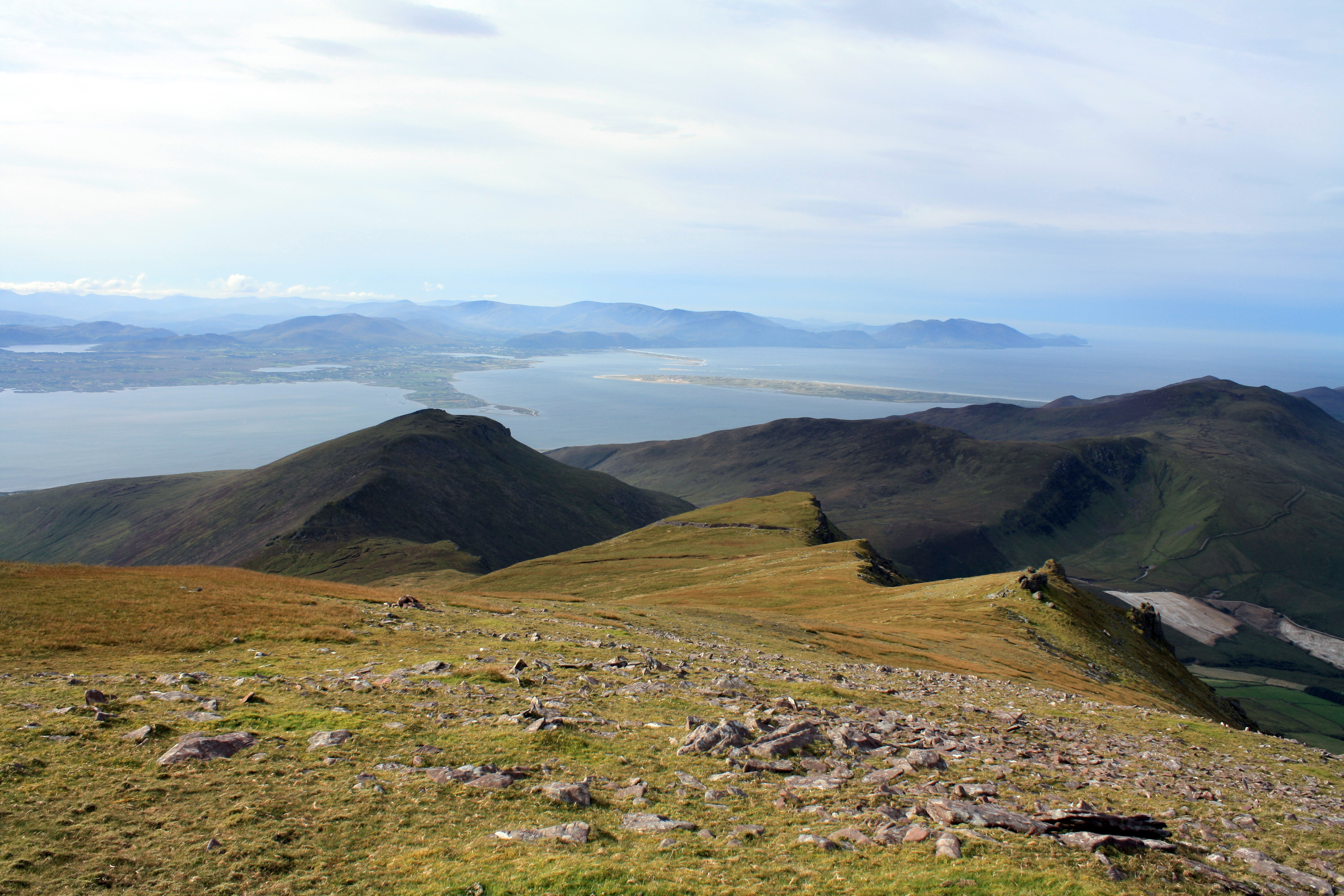 Looking west to the Caherconree Promontory Fort from summit of Caherconree
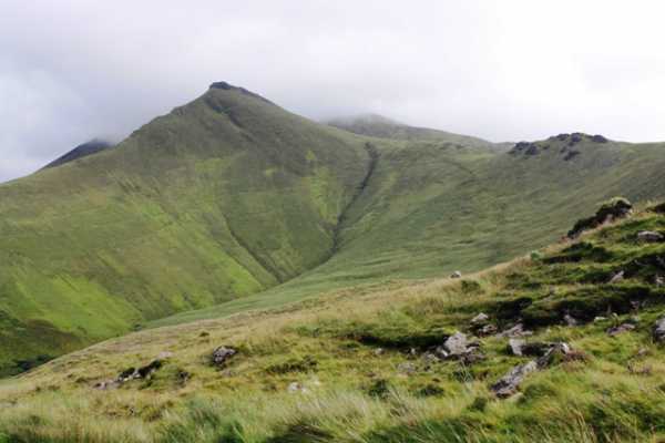 Caherconree Promontory Fort viewed from the south
| Type | Subtype | Date | Description | Notes | Source |
|---|---|---|---|---|---|
| event | armed conflict | 1920 | Siege of Tralee | siege | Wikidata |
| site | fort | Caherconree | fort, mountain | Wikidata | |
| commons | image | Slieve Mish Mountains, Dingle Peninsula, Co. Kerry, Ireland. | Commons | ||
| commons | image | Sign, Dingle Peninsula, Co. Kerry, Ireland. | Commons | ||
| commons | image | Symbol, Dingle Peninsula, Co. Kerry, Ireland. | Commons | ||
| commons | image | Stone Wall, Dingle Peninsula, Co. Kerry, Ireland. | Commons | ||
| commons | image | Journal of the Royal Society of Antiquaries of Ireland (1899) (14804809783) | Commons | ||
| commons | image | Brackhill | Commons | ||
| commons | image | Caherconree, 835m, mountain of the Slieve Mish range, Dingle peninsula, Co. Kerry, Ireland | Commons | ||
| commons | image | Caherconree, mountain of the Slieve Mish range, Co. Kerry, Ireland. | Commons | ||
| commons | image | Looking west to the Caherconree Promontory Fort from summit of Caherconree | Commons | ||
| commons | image | Caherconree Promontory Fort viewed from the south | Commons | ||
_(14804809783).jpg)