Fort Washita
From Warlike
Fort Washita is the former United States military post and National Historic Landmark located in Durant, Oklahoma on SH 199. Established in 1842 by General Zachary Taylor to protect citizens of the Choctaw and Chickasaw Nations from the Plains Indians, it was later abandoned by Federal forces at the beginning of the American Civil War. Confederate troops held the post until the end of the war when they burned the remaining structures. It was never reoccupied by the United States military. After years in private hands the Oklahoma Historical Society bought the fort grounds in 1962 and restored the site. In 2017, the Chickasaw Nation purchased Fort Washita from the Oklahoma Historical Society and assumed responsibility for the site and its management. Today, Fort Washita is a tourist attraction and hosts several events throughout the year. In August 2023, the Fort Washita Historic Site was placed into federal trust with the U.S. government.
Wikimedia, Wikidata
United States, United States, .jpg)
- National Register of Historic Places listed place page@
- National Register of Historic Places page@
- FortWiki page@
- Tripadvisor page@
Location: 34.1036, -96.5483, KML, Cluster Map, Maps, ![]()
![]()
2 places
-

Fort McCulloch ⓘ
fort in Oklahoma -

Fort Washita ⓘ
Bryan County, Oklahoma

 Hatsburg Indian Territory
 Ft Washita West Barracks2
 Ft Washita South Barracks
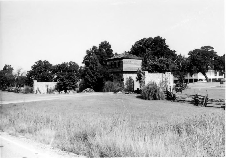 Ft Washita Entrance
 Fort Washita West Barracks3
 Ft Washita Attendants Cottage
 Fort Washita Both BarracksFort Washita Both Barracks
 124 of 'A Chronological History of the Civil War in America, illustrated with A. I. Johnson's and I. H. Colton's Steelplate Maps and Plans of the Southern States and Harbors' (11064932006)
| Type | Subtype | Date | Description | Notes | Source |
|---|---|---|---|---|---|
| link | page | National Register of Historic Places listed place page@ | Wikidata | ||
| link | page | National Register of Historic Places page@ | Wikidata | ||
| link | page | FortWiki page@ | Wikidata | ||
| link | page | Tripadvisor page@ | Wikidata | ||
| site | fort | Fort McCulloch | fort | Wikidata | |
| site | fort | Fort Washita | fort | Wikidata | |
| commons | image | Hatsburg Indian Territory | Commons | ||
| commons | image | Ft Washita West Barracks2 | Commons | ||
| commons | image | Ft Washita South Barracks | Commons | ||
| commons | image | Ft Washita Entrance | Commons | ||
| commons | image | Fort Washita West Barracks3 | Commons | ||
| commons | image | Ft Washita Attendants Cottage | Commons | ||
| commons | image | Fort Washita Both Barracks | Commons | ||
| commons | image | Fort Washita Both Barracks | Commons | ||
| commons | image | 124 of 'A Chronological History of the Civil War in America, illustrated with A. I. Johnson's and I. H. Colton's Steelplate Maps and Plans of the Southern States and Harbors' (11064932006) | Commons | ||
.jpg)