Fort St. Philip
From Warlike
Fort St. Philip is a historic masonry fort located on the eastern bank of the Mississippi River, about 40 miles (64 km) upriver from its mouth in Plaquemines Parish, Louisiana, just opposite Fort Jackson on the other side of the river. It formerly served as military protection of New Orleans, some 80 miles (130 km) up the river, and of the lower Mississippi River.
Wikimedia, Wikidata
Spanish XVIII century fort
United States, United States, 
- National Register Database, Louisiana page@
- National Register of Historic Places listed place page@
- National Register of Historic Places page@
- FortWiki page@
Location: 29.3639, -89.4628, KML, Cluster Map, Maps,
4 places
-

Siege of Fort St. Philip ⓘ
battle in the War of 1812 -

Battle of Forts Jackson and St. Philip ⓘ
1862 battle of the American Civil War -

Fort Jackson ⓘ
historic fort in Louisiana, USA -

Fort St. Philip ⓘ
Plaquemines Parish, Louisiana
{"selectable":false,"showCurrentTime":false,"width":"100%","zoomMin":100000000000}
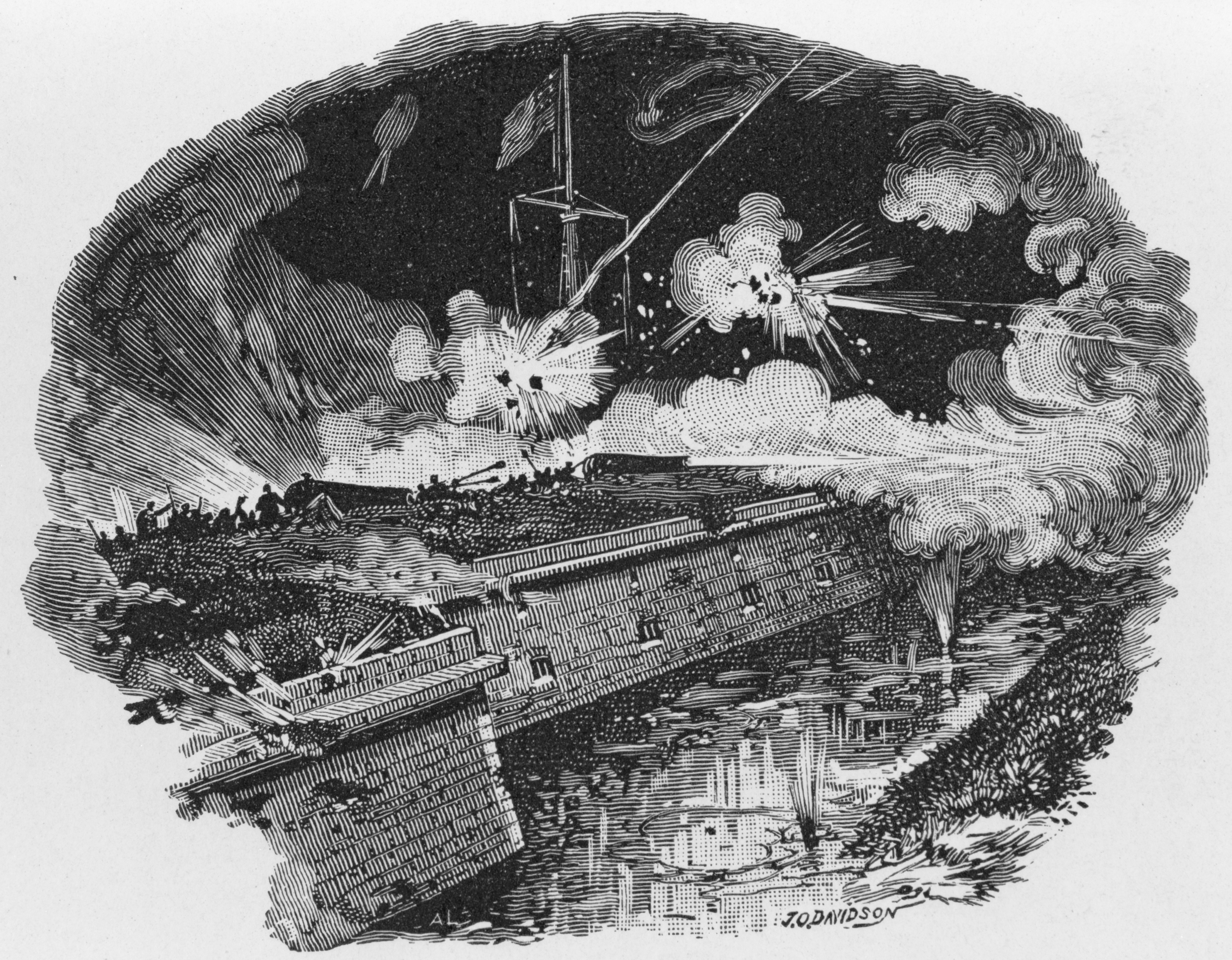 FortStPhilipDavidsonCIvilWar
 Fort Jackson Naval Battle
 FortStPhilipNPS1898AdditionFortStPhilipDavidsonCIvilWar
 FortStPhilipNPSSallyPort
 Fort St. Phillip Overgrown
 Reconnaissance of Forts Jackson and St. Philip, on the Mississippi, by Gun-boats from Flag-officer Farragut's Squadron NH 59066
 FortStPhilipOvergrownEarthworksNPS
 ButlersVictimsFortStPhilip
 FortStPhilipRiverLeveeNPS
| Type | Subtype | Date | Description | Notes | Source |
|---|---|---|---|---|---|
| event | armed conflict | 1815 | Siege of Fort St. Philip | siege | Wikidata |
| event | armed conflict | 1862 | Battle of Forts Jackson and St. Philip | battle | Wikidata |
| link | page | National Register Database, Louisiana page@ | Wikidata | ||
| link | page | National Register of Historic Places listed place page@ | Wikidata | ||
| link | page | National Register of Historic Places page@ | Wikidata | ||
| link | page | FortWiki page@ | Wikidata | ||
| object | watercraft | CSS Louisiana | casemate ironclad | Wikidata | |
| object | watercraft | CSS Manassas | ironclad warship | Wikidata | |
| site | fort | Fort Jackson | fort | Wikidata | |
| site | fort | Fort St. Philip | fort | Wikidata | |
| commons | image | FortStPhilipDavidsonCIvilWar | Commons | ||
| commons | image | Fort Jackson Naval Battle | Commons | ||
| commons | image | FortStPhilipNPS1898Addition | Commons | ||
| commons | image | FortStPhilipDavidsonCIvilWar | Commons | ||
| commons | image | FortStPhilipNPSSallyPort | Commons | ||
| commons | image | Fort St. Phillip Overgrown | Commons | ||
| commons | image | Reconnaissance of Forts Jackson and St. Philip, on the Mississippi, by Gun-boats from Flag-officer Farragut's Squadron NH 59066 | Commons | ||
| commons | image | FortStPhilipOvergrownEarthworksNPS | Commons | ||
| commons | image | ButlersVictimsFortStPhilip | Commons | ||
| commons | image | FortStPhilipRiverLeveeNPS | Commons | ||