Fort Robinson
From Warlike
Fort Robinson is a former U.S. Army fort and now a major feature of Fort Robinson State Park, a 22,000-acre (8,900 ha) public recreation and historic preservation area located 2 miles (3.2 km) west of Crawford on U.S. Route 20 in the Pine Ridge region of northwest Nebraska.
Wikimedia, Wikidata
United States, United States, 
- National Register of Historic Places listed place page@
- National Register of Historic Places page@
- FortWiki page@
Location: 42.6689, -103.4672, KML, Cluster Map, Maps,
1 places
-

Fort Robinson ⓘ
former U.S. Army fort, Nebraska
 Crazyhorsedeath
 Map of Fort Robinson, Nebraska - NARA - 137929510
 Map of Fort Robinson, Nebraska - NARA - 137929496 (page 1)
 Map of Fort Robinson, Nebraska - NARA - 137929496 (page 2)
 Map of Fort Robinson, Nebraska - NARA - 137929512 (page 2)
 Map of Fort Robinson, Nebraska - NARA - 137929512 (page 1)
 Ninth Cavalry NCOs, 1889
 FortRobinsonByPhilKonstantin
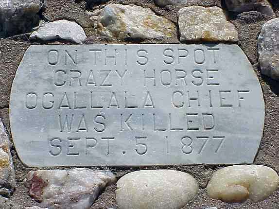 CrazyHorseMarkerByPhilKonstantin
 FortRobinson
| Type | Subtype | Date | Description | Notes | Source |
|---|---|---|---|---|---|
| link | page | National Register of Historic Places listed place page@ | Wikidata | ||
| link | page | National Register of Historic Places page@ | Wikidata | ||
| link | page | FortWiki page@ | Wikidata | ||
| site | fort | Fort Robinson | fort | Wikidata | |
| commons | image | Crazyhorsedeath | Commons | ||
| commons | image | Map of Fort Robinson, Nebraska - NARA - 137929510 | Commons | ||
| commons | image | Map of Fort Robinson, Nebraska - NARA - 137929496 (page 1) | Commons | ||
| commons | image | Map of Fort Robinson, Nebraska - NARA - 137929496 (page 2) | Commons | ||
| commons | image | Map of Fort Robinson, Nebraska - NARA - 137929512 (page 2) | Commons | ||
| commons | image | Map of Fort Robinson, Nebraska - NARA - 137929512 (page 1) | Commons | ||
| commons | image | Ninth Cavalry NCOs, 1889 | Commons | ||
| commons | image | FortRobinsonByPhilKonstantin | Commons | ||
| commons | image | CrazyHorseMarkerByPhilKonstantin | Commons | ||
| commons | image | FortRobinson | Commons | ||
.jpg)
.jpg)
.jpg)
.jpg)