Fort Livingston
From Warlike
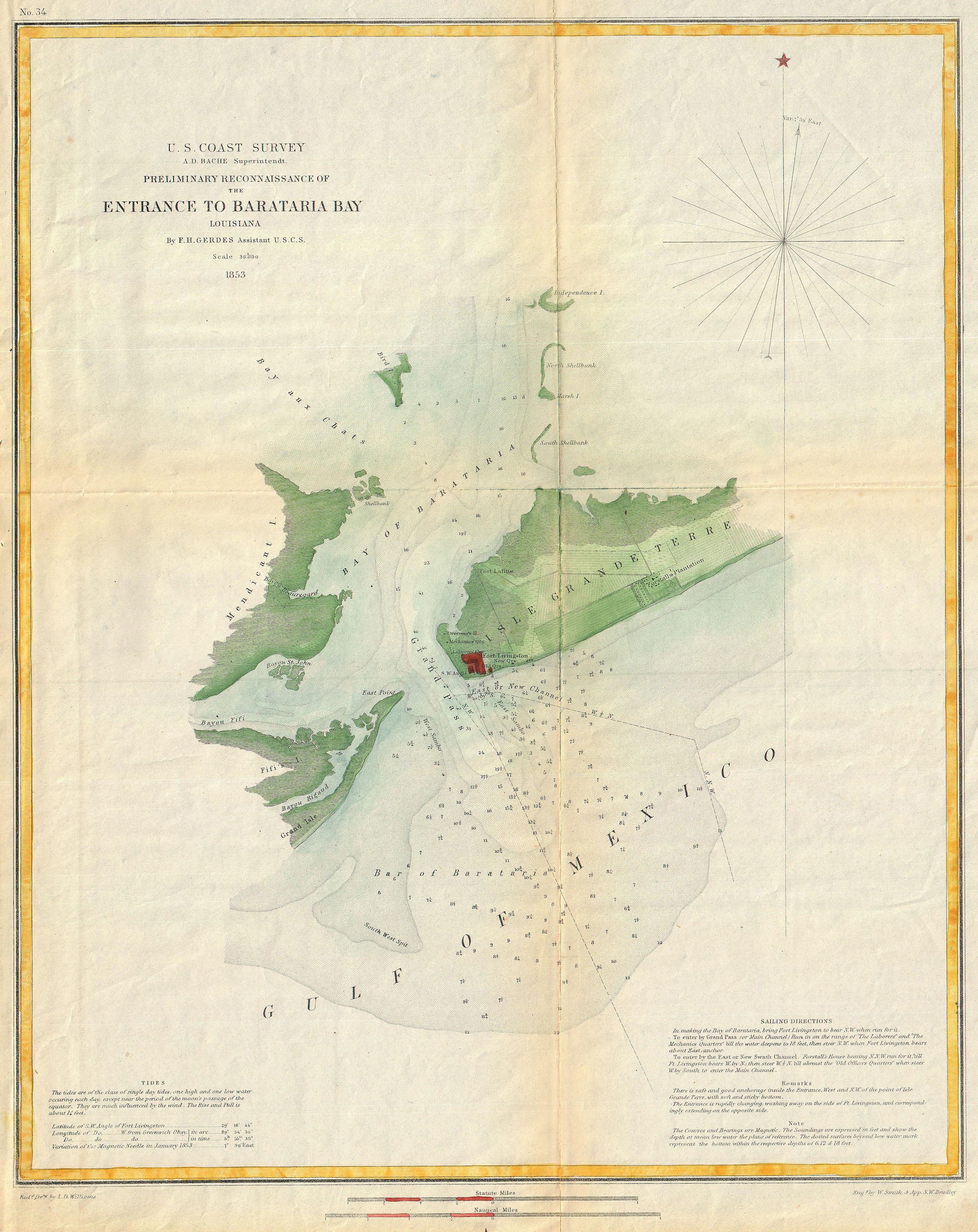
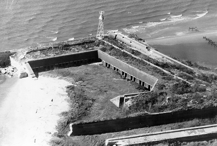
Fort Livingston was a 19th-century coastal defense fort located on Grand Terre Island in Jefferson Parish, Louisiana. The fort was named after Edward Livingston who had held positions as Mayor of New York City, U.S. Senator from Louisiana, and U.S. Secretary of State under President Andrew Jackson. The structure was listed on the National Register of Historic Places on August 30, 1974. Original plans for the fort were prepared by Lieutenant H. G. Wright. These plans called for the fortress to be a trapeziform stronghold surrounded by a wet ditch and by outworks on the land side. The walls were constructed of cemented shell, faced with brick, and trimmed with granite.
Wikimedia, Wikidata
United States, United States, 
- National Register Database, Louisiana page@
- National Register of Historic Places listed place page@
- National Register of Historic Places page@
- FortWiki page@
- Starforts page@
Location: 29.2733, -89.9453, KML, Cluster Map, Maps,
1 places
| Type | Subtype | Date | Description | Notes | Source |
|---|---|---|---|---|---|
| link | page | National Register Database, Louisiana page@ | Wikidata | ||
| link | page | National Register of Historic Places listed place page@ | Wikidata | ||
| link | page | National Register of Historic Places page@ | Wikidata | ||
| link | page | FortWiki page@ | Wikidata | ||
| link | page | Starforts page@ | Wikidata | ||
| site | fort | Fort Livingston | fort | Wikidata | |
| commons | image | FortLivingston3 | Commons | ||
| commons | image | 1853 U.S. Coast Survey Map or Chart of Bartaria Bay, Louisiana - Geographicus - BaratariaBay-uscs-1853 | Commons | ||
| commons | image | FortLivingston3 | Commons | ||
| commons | image | FortLivingston2 | Commons | ||
| commons | image | FortLivingston | Commons | ||
| commons | image | Post-Katrina-Grand-Terre2 Fort Livingston | Commons | ||
| commons | image | Fort Livingston LA Passageway | Commons | ||
| commons | image | Fort Livingston LA Interior terreplein | Commons | ||
| commons | image | Fort Livingston LA Interior terreplein | Commons | ||
| commons | image | Fort Livingston LA 2010 Courtyard | Commons | ||


