Alamparai Fort
From Warlike
The ruins of Alamparai Fort lie near Kadappakkam in India, a village 50 km from Mamallapuram on the land overlooking the sea. Constructed in the late 17th century during the Mughal era, the Alamparai Fort once had a 100-metre long dockyard stretching into the sea, from which zari cloth, salt, and ghee were exported. During 1735 AD it was ruled by Nawab Doste Ali Khan. In 1750, for the services rendered by the famous French commander Dupleix to Subedar Muzaffar Jung, the fort was given to the French. When French were defeated by the British, the fort was captured and demolished in 1760 AD. More recently the structure was damaged in the 2004 Indian Ocean earthquake.
1735 Website,
Wikimedia, Wikidata
Alambarai Fort
India, India, 
-
Location: 12.2659, 80.0101, KML, Cluster Map, Maps,
1 places
-

Alamparai Fort ⓘ
fort near Kadapakkam, Tamil Nadu, India
 Brick work of Alampara fort ruins
 Alampara Fort ruins -2
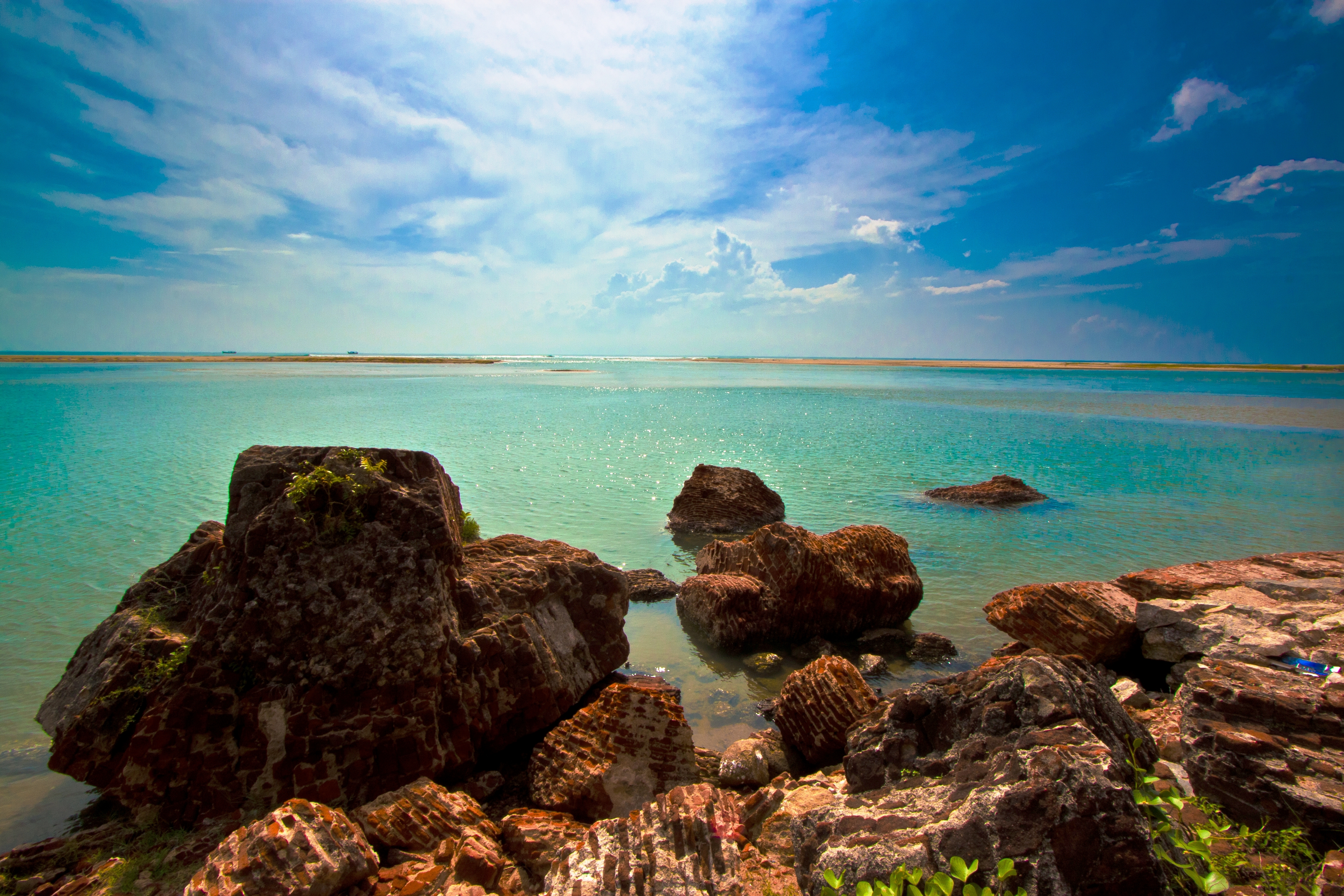 Beauty remains ruins in ECR.
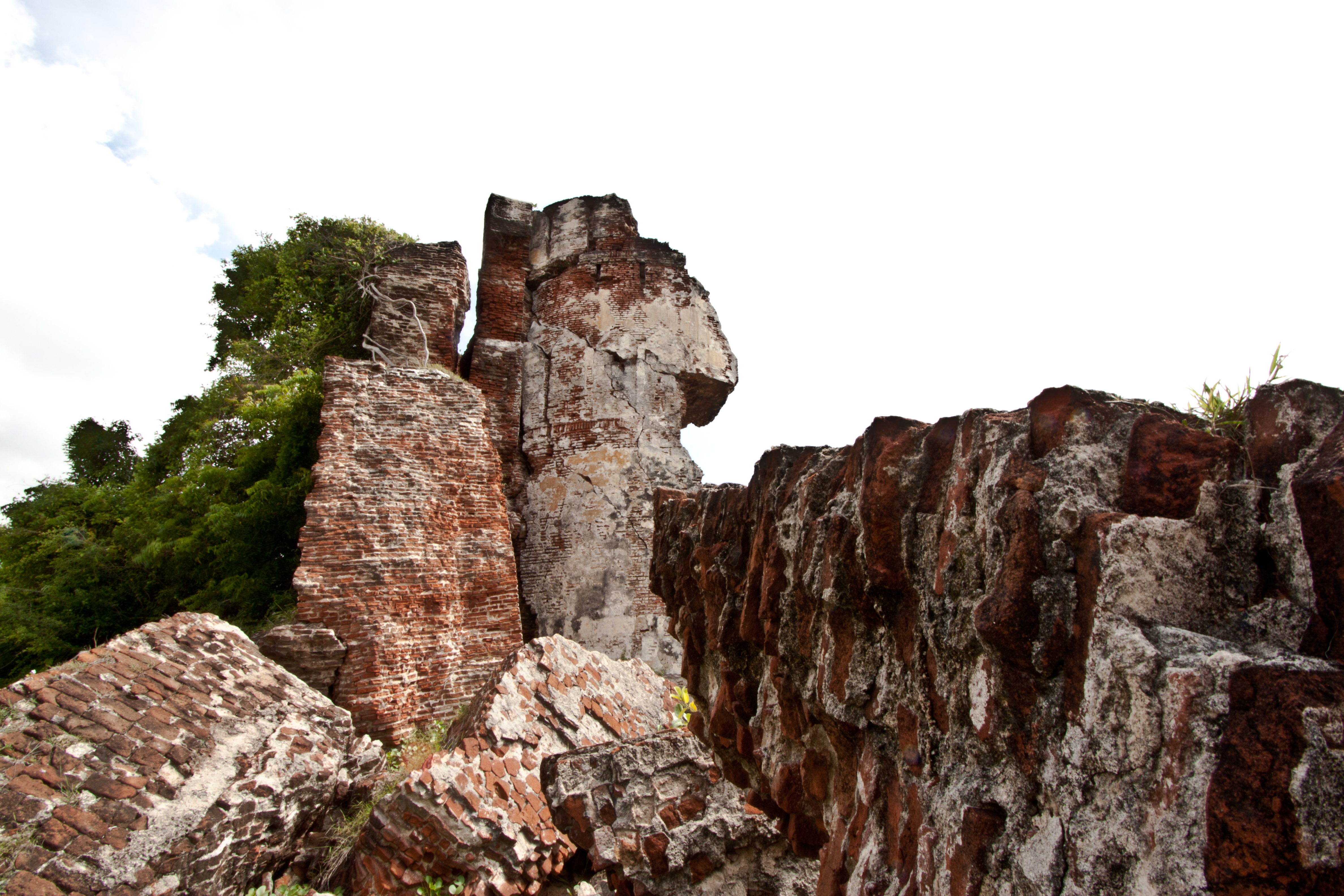 Alampara Fort Ruins
 Alamparai fort
 Alamparai fort (1)Alamparai fortAlamparai fort (1)
 Standup Paddleboarding near Alamparai Fort
 Alamparai Fort
| Type | Subtype | Date | Description | Notes | Source |
|---|---|---|---|---|---|
| site | fort | 1735 | Alamparai Fort | fort | Wikidata |
| commons | image | Brick work of Alampara fort ruins | Commons | ||
| commons | image | Alampara Fort ruins -2 | Commons | ||
| commons | image | Beauty remains ruins in ECR. | Commons | ||
| commons | image | Alampara Fort Ruins | Commons | ||
| commons | image | Alamparai fort | Commons | ||
| commons | image | Alamparai fort (1) | Commons | ||
| commons | image | Alamparai fort | Commons | ||
| commons | image | Alamparai fort (1) | Commons | ||
| commons | image | Standup Paddleboarding near Alamparai Fort | Commons | ||
| commons | image | Alamparai Fort | Commons | ||
.jpg)