Fort Oswego
From Warlike
Fort Oswego was an 18th-century trading post in the Great Lakes region in North America, which became the site of a battle between French and British forces in 1756 during the North American phase of the Seven Years' War known as the French and Indian War. The fort was established in 1727, on the orders of New York governor William Burnet, adjacent to a 1722 blockhouse that had originally been a way station for French traders. The log palisade fort established a British presence on the Great Lakes.
Wikimedia, Wikidata
United States, United States, 
Location: 43.4617, -76.5142, KML, Cluster Map, Maps,
4 places
-

Battle of Fort Oswego ⓘ
1756 French and Indian War battle -

Battle of Fort Oswego ⓘ
war of 1812 battle -

Fort Oswego ⓘ
fort in New York -
Fort Ontario ⓘ
state historic site of New York, United States
{"selectable":false,"showCurrentTime":false,"width":"100%","zoomMin":100000000000}
 OswegoFort1727
 Illustration of the capitulation de Fort Oswego, August 1756
 Fort Oswego - NARA - 102279907
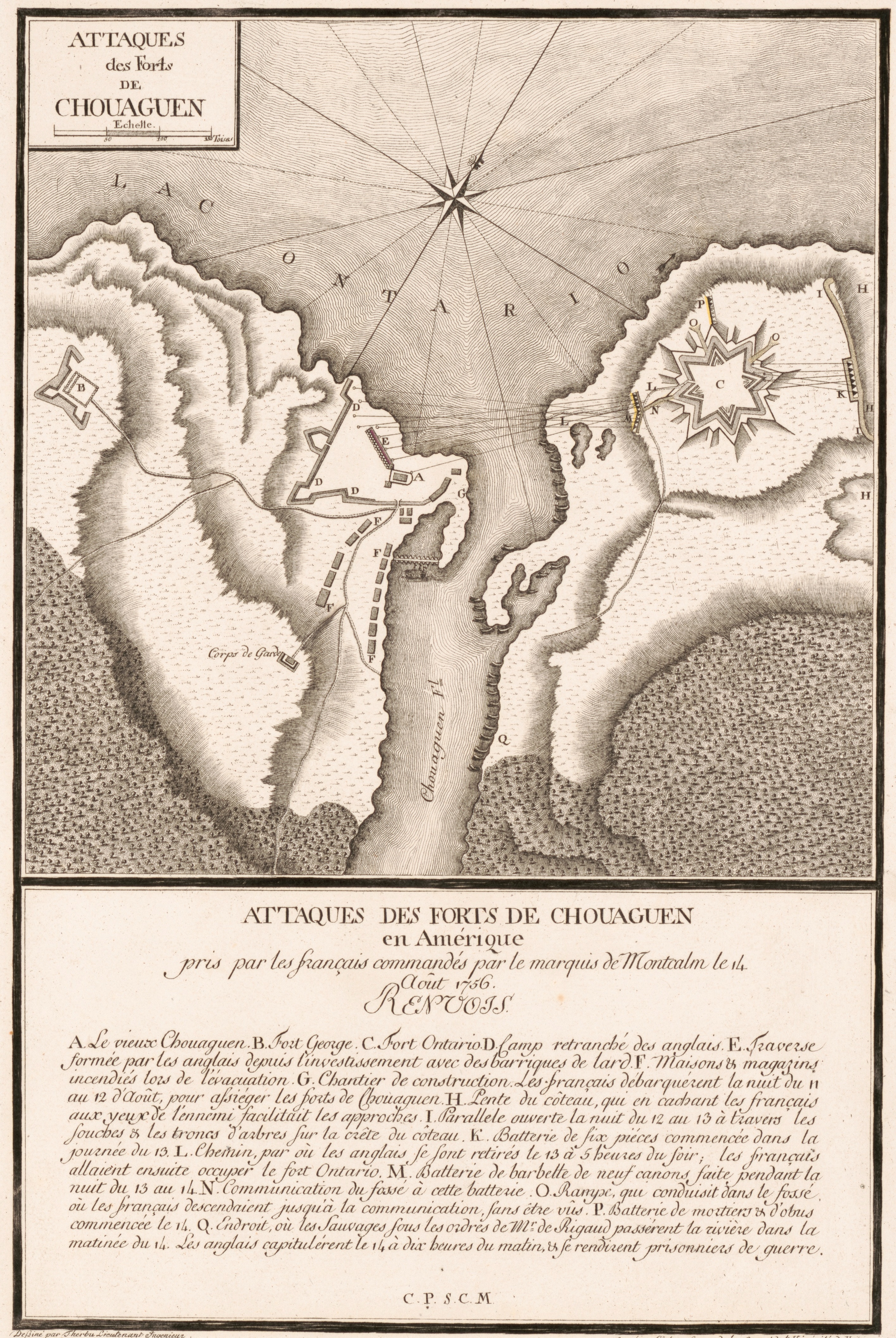 Plan des forts pris par Montcalm en août 1756. Bataille d'Oswego
 Carte ou plan nouveau du lac Ontario - Chouayguin
 Nouveau plan du lac Ontario depuis le fort Frontenac jusqu'a Chouayguin
 View of Fort Oswego, published in 1767
 Fort Ontario and Oswego
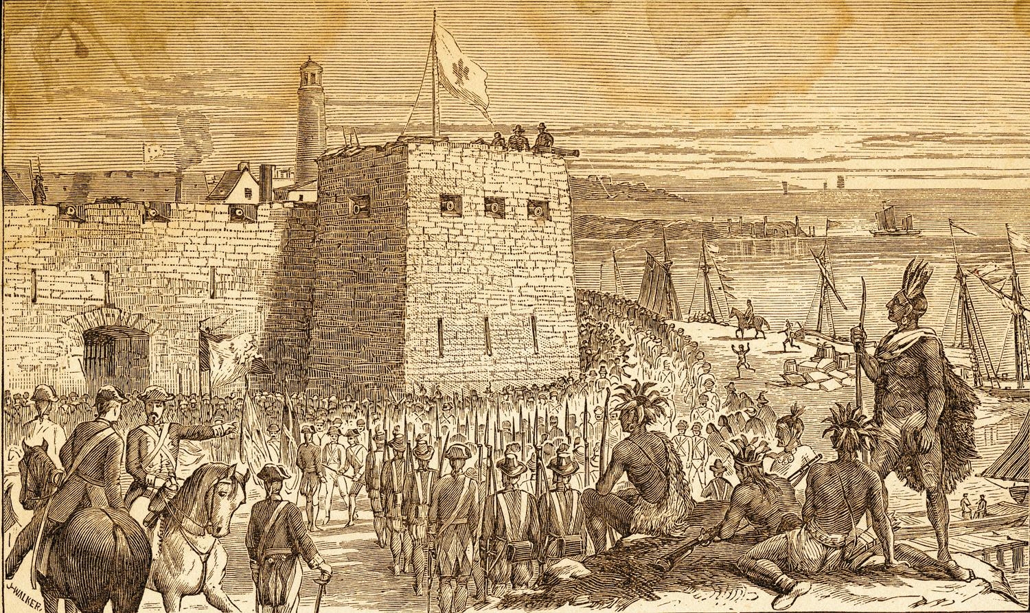 Fort Oswego
| Type | Subtype | Date | Description | Notes | Source |
|---|---|---|---|---|---|
| event | armed conflict | 1756 | Battle of Fort Oswego | battle, Kingdom of Great Britain | Wikidata |
| event | armed conflict | 1814 | Battle of Fort Oswego | United States, United Kingdom of Great Britain and Ireland, battle | Wikidata |
| link | page | FortWiki page@ | Wikidata | ||
| site | fort | Fort Oswego | fort | Wikidata | |
| site | fort | 1839 | Fort Ontario | fort | Wikidata |
| commons | image | OswegoFort1727 | Commons | ||
| commons | image | Illustration of the capitulation de Fort Oswego, August 1756 | Commons | ||
| commons | image | Fort Oswego - NARA - 102279907 | Commons | ||
| commons | image | Plan des forts pris par Montcalm en août 1756. Bataille d'Oswego | Commons | ||
| commons | image | Carte ou plan nouveau du lac Ontario - Chouayguin | Commons | ||
| commons | image | Nouveau plan du lac Ontario depuis le fort Frontenac jusqu'a Chouayguin | Commons | ||
| commons | image | View of Fort Oswego, published in 1767 | Commons | ||
| commons | image | Fort Ontario and Oswego | Commons | ||
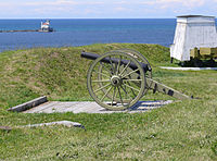
| commons | image | Fort Oswego | Commons | ||
.jpg)