Meløyvær Fortress
From Warlike
Meløyvær fortress is a coastal fortress in Norway on Krøttøya in Troms. The construction was of strategic importance to NATO and northern Norway's role during the Cold War. Meløyvær fortress was the last of the fortresses with the 120 mm Bofors guns to be built in Norway. It is a complete construction, authentic and in good condition.
1983
Wikimedia, Wikidata
Norway, Norway, 
- monument in Riksantikvaren register page@
- Norwegian cultural heritage search page@
Location: 69.0608, 16.5441, KML, Cluster Map, Maps,
5 places
1983-01-01T00:00:00Z
1983-01-01T00:00:00Z
1983 Meløyvær Fortress
{"selectable":false,"showCurrentTime":false,"width":"100%","zoomMin":100000000000}
| Type | Subtype | Date | Description | Notes | Source |
|---|---|---|---|---|---|
| class | weapon | 1940 | 40.6 cm SK C/34 gun | naval artillery | Wikidata |
| link | page | monument in Riksantikvaren register page@ | Wikidata | ||
| link | page | Norwegian cultural heritage search page@ | Wikidata | ||
| site | artillery battery | MAB 3./511 Bjarköy | coastal battery, fort | Wikidata | |
| site | fort | Skrolsvik Fort | fort | Wikidata | |
| site | fort | 1941 | Trondenes Fort | fort | Wikidata |
| site | fort | 1983 | Meløyvær Fortress | fort | Wikidata |
| site | shipwreck | 1942 | U-711 | Type VIIC submarine, shipwreck, U-boat | Wikidata |
| commons | image | Meløyvær Fortress Canon B - Russøya | Commons | ||
| commons | image | Meløyvær Fortress Canon B - Russøya | Commons | ||
| commons | image | Command Center - Operations Room for Guns A, B and C | Commons | ||
| commons | image | Description of Gun A | Commons | ||
| commons | image | Command Center - Entrance Corridor | Commons | ||
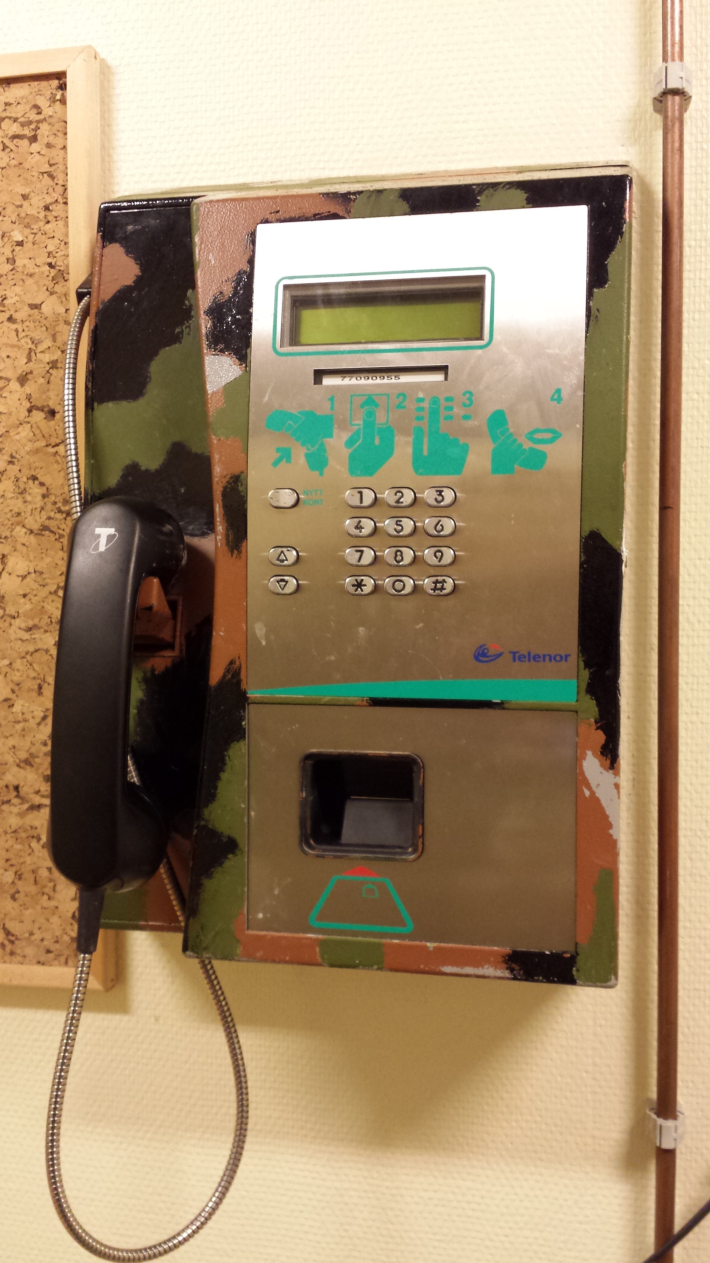
| commons | image | Military Version of a a 1990's Card Telephone | Commons | ||
| commons | image | Command Center - Main Operations Room | Commons | ||
| commons | image | Command Center - Entrance | Commons | ||
| commons | image | Command Center - Operations Room for Guns A, B and C | Commons | ||
| commons | image | Description of Gun A | Commons | ||
Rummage summary


