Fortifications of Gibraltar
From Warlike
Q16153444
The Gibraltar peninsula, located at the far southern end of Iberia, has great strategic importance as a result of its position by the Strait of Gibraltar where the Mediterranean Sea meets the Atlantic Ocean. It has repeatedly been contested between European and North African powers and has endured fourteen sieges since it was first settled in the 11th century. The peninsula's occupants – Moors, Spanish, and British – have built successive layers of fortifications and defences including walls, bastions, casemates, gun batteries, magazines, tunnels and galleries. At their peak in 1865, the fortifications housed around 681 guns mounted in 110 batteries and positions, guarding all land and sea approaches to Gibraltar. The fortifications continued to be in military use until as late as the 1970s and by the time tunnelling ceased in the late 1960s, over 34 miles (55 km) of galleries had been dug in an area of only 2.6 square miles (6.7 km2).
Wikimedia, Wikidata
fortification,
- Government of Gibraltar page@ War Office Maps and Plans
- Government of Gibraltar page@ Air Raid Personnel Shelters
- Government of Gibraltar page@ Artillery
Location: KML, Cluster Map, Maps,
 George Augustus Eliott, 1st Baron Heathfield - by Joshua Reynolds - Project Gutenberg eText 19009
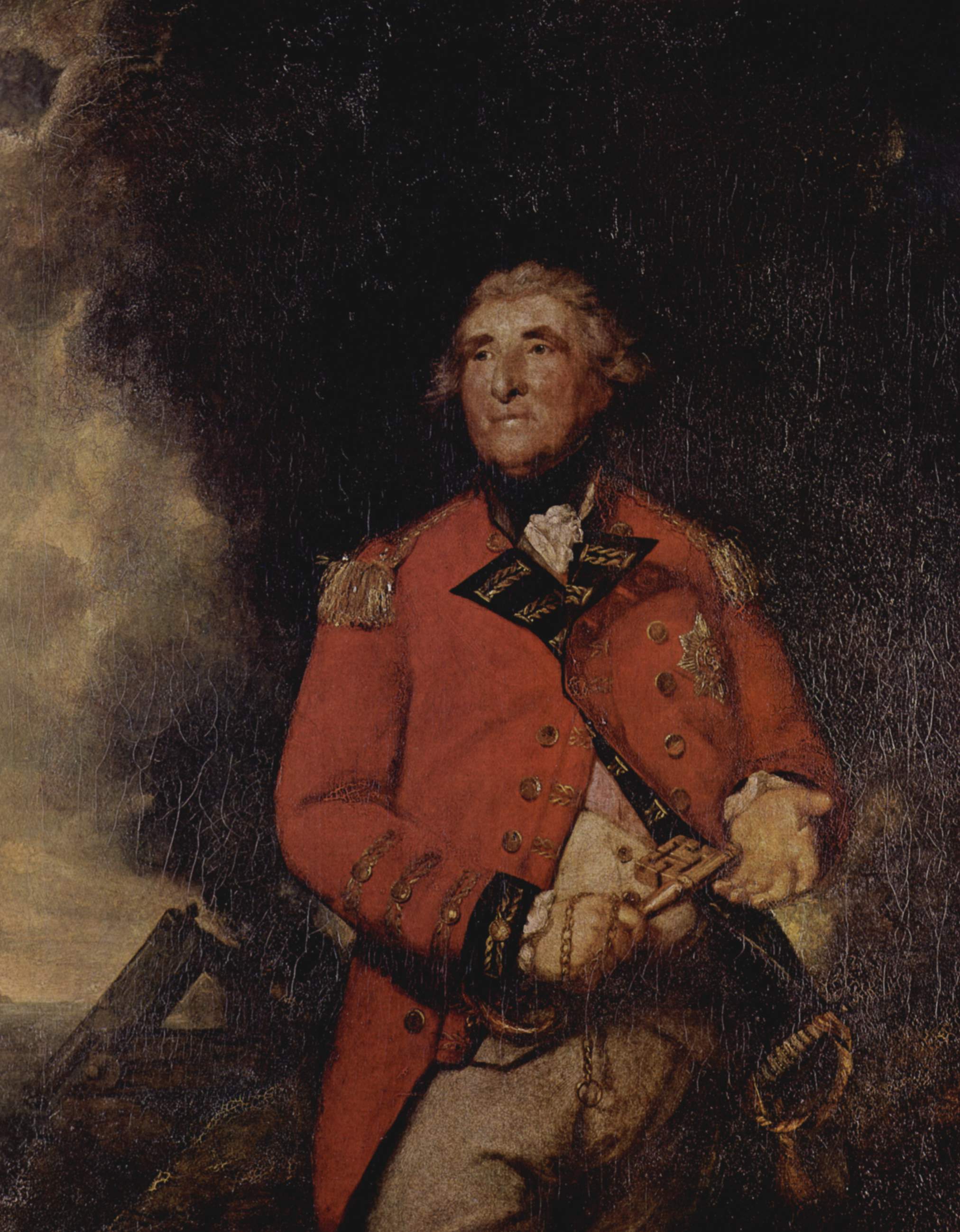 Sir Joshua Reynolds 010
 Rocher Gibraltar
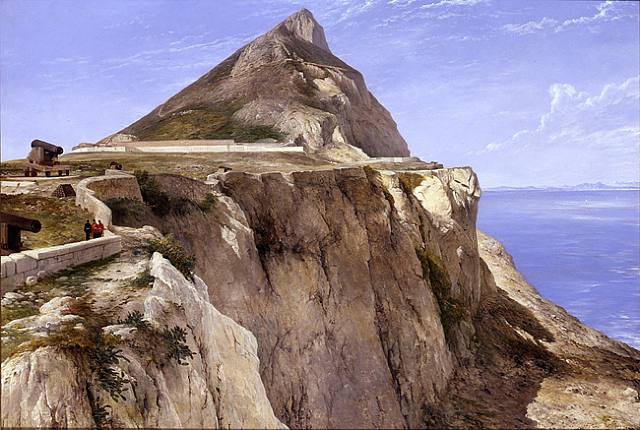 1862 painting of the Rock of Gibraltar by Frederick Richard Lee, Windmill Hill Barracks at the far side of the plateaux
 Officer's Quarters and Casemate Barracks, Gibraltar
 Gibraltar e istmo en 1786
 1810 Gibraltar Northern Defences map
 Gibraltar from the New Mole Fort looking North
 1859 Gibraltar fortifications map
 P2a
P2a| Type | Subtype | Date | Description | Notes | Source |
|---|---|---|---|---|---|
| link | page | Government of Gibraltar page@ | War Office Maps and Plans | Wikidata | |
| link | page | Government of Gibraltar page@ | Air Raid Personnel Shelters | Wikidata | |
| link | page | Government of Gibraltar page@ | Artillery | Wikidata | |
| commons | image | George Augustus Eliott, 1st Baron Heathfield - by Joshua Reynolds - Project Gutenberg eText 19009 | Commons | ||
| commons | image | Sir Joshua Reynolds 010 | Commons | ||
| commons | image | Rocher Gibraltar | Commons | ||
| commons | image | 1862 painting of the Rock of Gibraltar by Frederick Richard Lee, Windmill Hill Barracks at the far side of the plateaux | Commons | ||
| commons | image | Officer's Quarters and Casemate Barracks, Gibraltar | Commons | ||
| commons | image | Gibraltar e istmo en 1786 | Commons | ||
| commons | image | 1810 Gibraltar Northern Defences map | Commons | ||
| commons | image | Gibraltar from the New Mole Fort looking North | Commons | ||
| commons | image | 1859 Gibraltar fortifications map | Commons | ||
| commons | image | P2a | Commons | ||