White Top
From Warlike
Q14714389
White Top is a knob and spur of Cheat Mountain in southeastern Randolph County, West Virginia, USA. Sitting at an elevation of 4,085 feet (1,245 m), it is located just west of the Shavers Fork of Cheat River and Cheat Bridge. While White Top was originally crossed by the Staunton–Parkersburg Turnpike, modern-day U.S. Route 250 skirts the base of the knob beside Shavers Fork to the north and east.
Wikidata
United States, Cheat Mountain, United States, 
- National Register of Historic Places listed place page@
- National Register of Historic Places page@
- FortWiki page@
Location: 38.6244, -79.8767, KML, Cluster Map, Maps,
6 places
-

Battle of Rich Mountain ⓘ
1861 battle of the American Civil War -

Battle of Cheat Mountain ⓘ
1861 battle of the American Civil War -

Battle of Greenbrier River ⓘ
1861 battle of the American Civil War -

Battle of Camp Allegheny ⓘ
1861 United States historic place -

Fort Marrow ⓘ
West Virginia place listed on National Register of historic Places -
White Top ⓘ
West Virginia place listed on National Register of historic Places
{"selectable":false,"showCurrentTime":false,"width":"100%","zoomMin":100000000000}
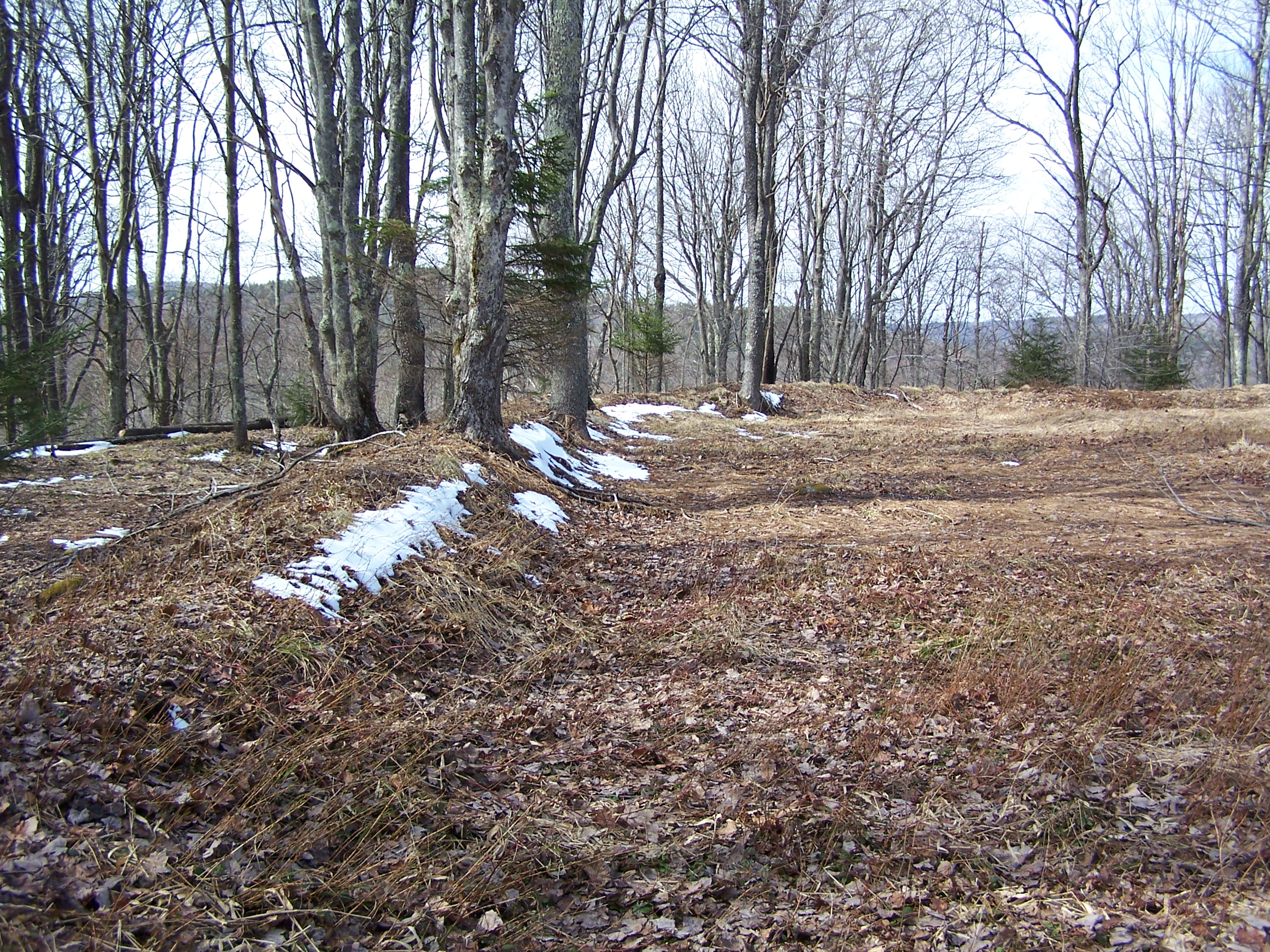 Cheat Summit Fort - Earthworks
| Type | Subtype | Date | Description | Notes | Source |
|---|---|---|---|---|---|
| event | armed conflict | 1861 | Battle of Rich Mountain | battle | Wikidata |
| event | armed conflict | 1861 | Battle of Cheat Mountain | battle | Wikidata |
| event | armed conflict | 1861 | Battle of Greenbrier River | battle | Wikidata |
| event | armed conflict | 1861 | Battle of Camp Allegheny | battle, historic district | Wikidata |
| link | page | National Register of Historic Places listed place page@ | Wikidata | ||
| link | page | National Register of Historic Places page@ | Wikidata | ||
| link | page | FortWiki page@ | Wikidata | ||
| site | fort | Fort Marrow | archaeological site, fort | Wikidata | |
| site | fort | White Top | fort, archaeological site, summit | Wikidata | |
| commons | image | Cheat Summit Fort - Earthworks | Commons | ||