Fort Wingate
From Warlike
Error while fetching data from URL https://en.wikipedia.org/api/rest_v1/page/summary/Fort_Wingate: $2.
Error fetching URL: OpenSSL SSL_read: Connection reset by peer, errno 104
There was a problem during the HTTP request: 0 Error
Could not get URL https://en.wikipedia.org/api/rest_v1/page/summary/Fort_Wingate after 3 tries.'
1862
Wikimedia, Wikidata
Fort Fauntleroy
United States, Fort_Wingate,_New_Mexico_(shows_the_fort_and_houses),_1871_-_1878_-_NARA_-_517785.jpg)
- National Register of Historic Places listed place page@
- National Register of Historic Places page@
- FortWiki page@
Location: 35.4678, -108.5406, KML, Cluster Map, Maps,
1 places
-

Fort Wingate ⓘ
fort near Gallup in McKinley County, New Mexico
1862-01-01T00:00:00Z
1862-01-01T00:00:00Z
1862 Fort Wingate
{"selectable":false,"showCurrentTime":false,"width":"100%","zoomMin":100000000000}
 Wingate Elementary School
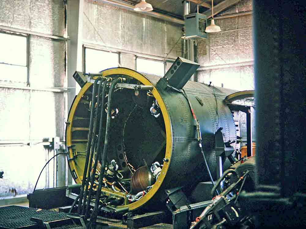 PGM-11 Redstone CC-2005 2
 Map of Fort Wingate - NARA - 137929558
 Map of Fort Wingate, New Mexico and the Surrounding Area - DPLA - 222d4479556fdd4a625f0a07cd4630cf (page 1)
 Map of Fort Wingate, New Mexico and the Surrounding Area - DPLA - 222d4479556fdd4a625f0a07cd4630cf (page 2)
 Distant view of Fort Wingate, New Mexico, 1873 - T. H. O'Sullivan, photographer. LCCN2007684831
 Survey camp near Fort Wingate, 1873 - T. H. O'Sullivan, photographer. LCCN2007684836
 Parade ground at Fort Wingate, 1873 - T. H. O'Sullivan, phot. LCCN2007684835
 Members of the United States Geological Survey measuring a baseline near Fort Wingate, N.M., 1883 LCCN2009633602
 Lt. Cornelius C. Smith 1895
.jpg)
.jpg)