Fort McRee was a historic military fort constructed by the United States on the eastern tip of Perdido Key to defend Pensacola and its important natural harbor. In the defense of Pensacola Bay, Fort McRee was accompanied by Fort Pickens, located across Pensacola Pass on Santa Rosa Island, and Fort Barrancas, located across Pensacola Bay on the grounds of what is now Naval Air Station (NAS) Pensacola. Fort Pickens was the largest of these. Very little remains of Fort McRee today.
Fort Pickens - Pensacola Harbor, Florida - Currier & Ives
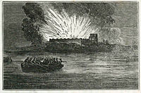
Relief of Fort Pickens, by the United States fleet, March 23, 1861 - sketched from the wheel-house of the Atlantic by an officer of the expedition. (cropped) LCCN90711028 (cropped)
Florida - Fort McRee - DPLA - 30e0885ceeaa1d39f2cc16daa006a5a2
Relief of Fort Pickens, by the United States fleet, March 23, 1861 - sketched from the wheel-house of the Atlantic by an officer of the expedition. LCCN90711028
Entrance to Pensacola Bay 1862 from Colton's maps of U.S. harbors
Confederate battery north of Fort McRee at Pensacola, Florida
The photographic history of the Civil War - thousands of scenes photographed 1861-65, with text by many special authorities (1911) (14782694503)
Fort McRee in background, Memorial Day Weekend 2007 - panoramio


 Fort Pickens - Pensacola Harbor, Florida - Currier & Ives
 Relief of Fort Pickens, by the United States fleet, March 23, 1861 - sketched from the wheel-house of the Atlantic by an officer of the expedition. (cropped) LCCN90711028 (cropped)
 Florida - Fort McRee - DPLA - 30e0885ceeaa1d39f2cc16daa006a5a2
 Relief of Fort Pickens, by the United States fleet, March 23, 1861 - sketched from the wheel-house of the Atlantic by an officer of the expedition. LCCN90711028
 Entrance to Pensacola Bay 1862 from Colton's maps of U.S. harbors
 Confederate battery north of Fort McRee at Pensacola, Florida
 The photographic history of the Civil War - thousands of scenes photographed 1861-65, with text by many special authorities (1911) (14782694503)
 Fort McRee in background, Memorial Day Weekend 2007 - panoramio
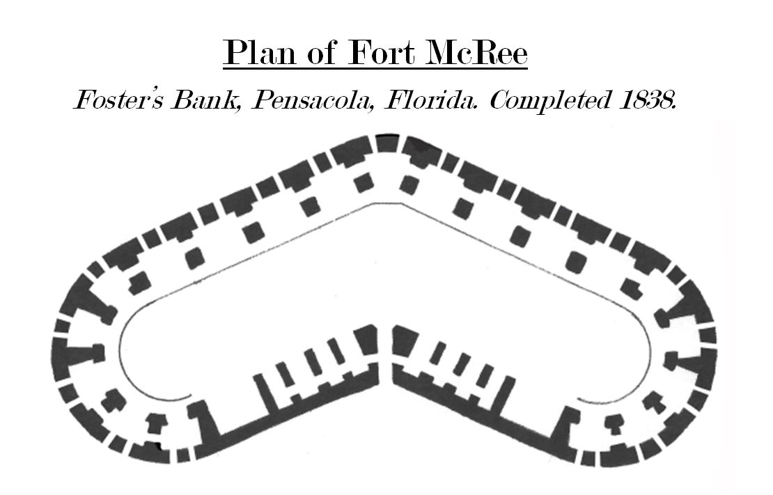 Fort McRee Diagram
_LCCN90711028_(cropped).jpg)
_(14762797155).jpg)
_(14782694503).jpg)