Caherconree

From Warlike

Revision as of 08:37, 4 October 2024 by John (talk | contribs) (Bot: Automated import of articles)
(diff) ← Older revision | Latest revision (diff) | Newer revision → (diff)

Q691575

mountain in Kerry, Ireland

WikimediaWikidata

mountainfortWestern Stone FortsIreland

Caherconree Fort.JPG

Location: 52.197222222, -9.862777777, ///stretches.conversations.halted, Google, Bing, Aerial View, OldMapsOnline, ESRI Imagery, Historic Markers, KML

Loading map...
Brackhill - geograph.org.uk - 293229Brackhill - geograph.org.uk - 293229
Caherconree Promontory Fort viewed from the southCaherconree Promontory Fort viewed from the south
Caherconree Promontory Fort, Slieve Mish Mountains, KerryCaherconree Promontory Fort, Slieve Mish Mountains, Kerry
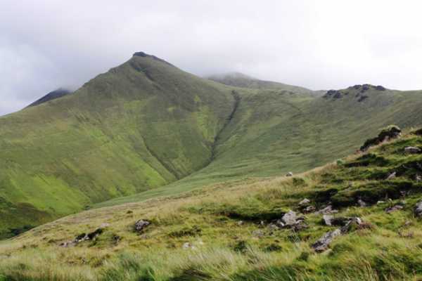
Caherconree, 835m, mountain of the Slieve Mish range, Dingle peninsula, Co. Kerry, IrelandCaherconree, 835m, mountain of the Slieve Mish range, Dingle peninsula, Co. Kerry, Ireland
Caherconree, mountain of the Slieve Mish range, Co. Kerry, Ireland.Caherconree, mountain of the Slieve Mish range, Co. Kerry, Ireland.
Caherconree, part of the Slieve Mish Mountain Range, Co. Kerry, Ireland.Caherconree, part of the Slieve Mish Mountain Range, Co. Kerry, Ireland.
Dawn, Dingle Peninsula, Co. Kerry, Ireland.Dawn, Dingle Peninsula, Co. Kerry, Ireland.
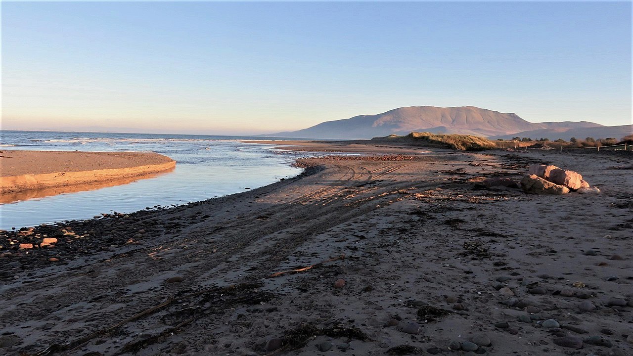
Dawn, Tralee Bay, Co. Kerry, Ireland.Dawn, Tralee Bay, Co. Kerry, Ireland.
Estuary, Tralee Bay, Co. Kerry, Ireland.Estuary, Tralee Bay, Co. Kerry, Ireland.
Evening Sun, Dingle Peninsula, Co. Kerry, Ireland.Evening Sun, Dingle Peninsula, Co. Kerry, Ireland.
Journal of the Royal Society of Antiquaries of Ireland (1899) (14804809783)Journal of the Royal Society of Antiquaries of Ireland (1899) (14804809783)
Killagha Abbey, Milltown (506451) (27535972331)Killagha Abbey, Milltown (506451) (27535972331)
Looking west to the Caherconree Promontory Fort from summit of CaherconreeLooking west to the Caherconree Promontory Fort from summit of Caherconree
Meeting of two Estuaries, Tralee Bay, Co. Kerry, Ireland.Meeting of two Estuaries, Tralee Bay, Co. Kerry, Ireland.
Ruins of Caherconree promontory fort, Kerry, IrelandRuins of Caherconree promontory fort, Kerry, Ireland
Sign, Dingle Peninsula, Co. Kerry, Ireland.Sign, Dingle Peninsula, Co. Kerry, Ireland.
Slieve Mish Mountains, Dingle Peninsula, Co. Kerry, Ireland.Slieve Mish Mountains, Dingle Peninsula, Co. Kerry, Ireland.
Stone Wall, Dingle Peninsula, Co. Kerry, Ireland.Stone Wall, Dingle Peninsula, Co. Kerry, Ireland.
Summit of Caherconree and Caherconree Fort from the south, Kerry, IrelandSummit of Caherconree and Caherconree Fort from the south, Kerry, Ireland
Sunrise, Tralee Bay, Co. Kerry, Ireland.Sunrise, Tralee Bay, Co. Kerry, Ireland.
Symbol, Dingle Peninsula, Co. Kerry, Ireland.Symbol, Dingle Peninsula, Co. Kerry, Ireland.
TypeDescriptionDateKeywordsNotesSource
linkFreebase entry@Wikidata
baseBallymullen Barracks1809Irish Army, barracksWikidata
imageBrackhill - geograph.org.uk - 2932292006Wikimedia
imageCaherconree Promontory Fort viewed from the south2010Wikimedia
imageCaherconree Promontory Fort, Slieve Mish Mountains, Kerry2014Wikimedia
imageCaherconree, 835m, mountain of the Slieve Mish range, Dingle peninsula, Co. Kerry, Ireland2010Wikimedia
imageCaherconree, mountain of the Slieve Mish range, Co. Kerry, Ireland.2010Wikimedia
imageCaherconree, part of the Slieve Mish Mountain Range, Co. Kerry, Ireland.2020Wikimedia
imageDawn, Dingle Peninsula, Co. Kerry, Ireland.2022Wikimedia
imageDawn, Tralee Bay, Co. Kerry, Ireland.2021Wikimedia
imageEstuary, Tralee Bay, Co. Kerry, Ireland.2021Wikimedia
imageEstuary, Tralee Bay, Co. Kerry, Ireland.2022Wikimedia
imageEvening Sun, Dingle Peninsula, Co. Kerry, Ireland.2021Wikimedia
imageJournal of the Royal Society of Antiquaries of Ireland (1899) (14804809783)1899Wikimedia
imageKillagha Abbey, Milltown (506451) (27535972331)2015Wikimedia
imageLooking west to the Caherconree Promontory Fort from summit of Caherconree2014Wikimedia
imageLooking west to the Caherconree Promontory Fort from summit of Caherconree2015Wikimedia
imageLooking west to the Caherconree Promontory Fort from summit of Caherconree2010Wikimedia
imageMeeting of two Estuaries, Tralee Bay, Co. Kerry, Ireland.2021Wikimedia
imageRuins of Caherconree promontory fort, Kerry, Ireland2010Wikimedia
imageSign, Dingle Peninsula, Co. Kerry, Ireland.Wikimedia
imageSlieve Mish Mountains, Dingle Peninsula, Co. Kerry, Ireland.Wikimedia
imageStone Wall, Dingle Peninsula, Co. Kerry, Ireland.Wikimedia
imageSummit of Caherconree and Caherconree Fort from the south, Kerry, Ireland2014Wikimedia
imageSunrise, Tralee Bay, Co. Kerry, Ireland.2021Wikimedia
imageSymbol, Dingle Peninsula, Co. Kerry, Ireland.Wikimedia