Manikgad
From Warlike
Q6749619
Fort in Chandrapur district
Wikimedia, Wikidata
Location: 19.6744, 79.1252, ///bouquets.antinuclear.ironing, Google, Bing, Aerial View, OldMapsOnline, ESRI Imagery, Historic Markers, KML
- All fortification sites
- All maritime sites
- All subterranean sites
- All weapon sites
- All military sites
| Type | Description | Date | Keywords | Notes | Source |
|---|---|---|---|---|---|
| link | Freebase entry@ | Wikidata | |||
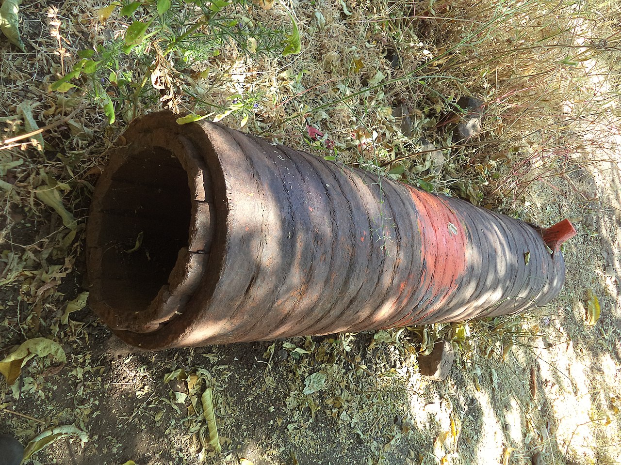
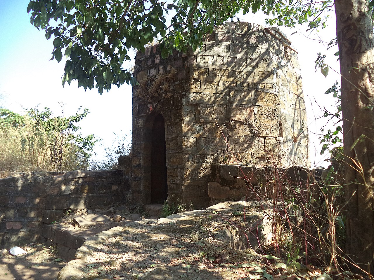
| image | Manikgadchanda | 2013 | Wikimedia | ||
| image | Manikgadchanda1 | Wikimedia | |||
| image | Manikgadchanda2 | Wikimedia | |||
| image | Manikgadchanda3 | Wikimedia | |||
| image | Manikgadchanda4 | 2013 | Wikimedia | ||
| image | Manikgadchanda5 | 2013 | Wikimedia | ||
| image | Manikgadchanda6 | 2013 | Wikimedia | ||


