Q7275191: Difference between revisions
From Warlike
Q7275191
(Bot: Automated import of articles) |
(Bot: Automated import of articles *** existing text overwritten ***) |
||
| Line 1: | Line 1: | ||
{{ | {{Page|RAF Boulmer|Sites|Royal Air Force air defence monitoring station in Northumberland, England}} | ||
Revision as of 09:55, 17 June 2024
Royal Air Force air defence monitoring station in Northumberland, England
Website, Wikimedia, Wikidata
1940 — 1969
air base, Royal Air Force station, weather station, radar station, ROTOR, Royal Air Force, United Kingdom, 
- Historic England entry@
- Historic England entry@
- Freebase entry@
- Subterranea Britannica article@
- Subterranea 8 article@
Location: 55.407, -1.623, ///hunk.bootleg.painter, Google, Bing, Aerial View, OldMapsOnline, ESRI Imagery, Historic Markers, KML, NLS, OS,
eDoB,
- All fortification sites
- All maritime sites
- All subterranean sites
- All weapon sites
- All military sites
| Type | Description | Date | Keywords | Notes | Source |
|---|---|---|---|---|---|
| link | Historic England entry@ | Wikidata | |||
| link | Historic England entry@ | Wikidata | |||
| link | Freebase entry@ | Wikidata | |||
| link | Subterranea Britannica article@ | Wikidata | |||
| link | Subterranea 8 article@ | Wikidata | |||
| base | Fenham Barracks | 1804 | barracks | Wikidata | |
| image | Bader Crescent, Longhoughton - geograph.org.uk - 1608364 | 2009 | Wikimedia | ||
| image | Cloudy Crags from Red Side - geograph.org.uk - 1209404 | 2009 | Wikimedia | ||
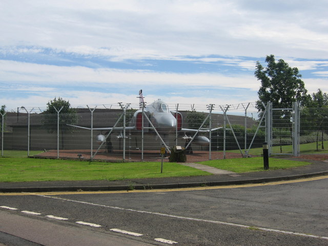
| image | RAF Boulmer - geograph.org.uk - 565104 | 2007 | Wikimedia | ||
| image | RAF Boulmer - geograph.org.uk - 571637 | 2007 | Wikimedia | ||
| image | RAF Boulmer - geograph.org.uk - 1562877 | 2009 | Wikimedia | ||
| image | Sea King Helicopter near Hemmel House - geograph.org.uk - 1608241 | 2009 | Wikimedia | ||


