Q2817296: Difference between revisions
From Warlike
Q2817296
(Bot: Automated import of articles) |
(Bot: Automated import of articles *** existing text overwritten ***) |
||
| Line 1: | Line 1: | ||
{{Page|Fort Dodge|Sites|American military base (1865–1882)}} | {{Page|Fort Dodge|Sites|American military base (1865–1882)|}} | ||
Latest revision as of 11:02, 3 October 2024
American military base (1865–1882)
Wikimedia, Wikidata
1865
fort, United States of America, United States of America, 
Location: 37.7306, -99.9347, ///flop.atlas.stating, Google, Bing, Aerial View, OldMapsOnline, ESRI Imagery, Historic Markers, KML
- All fortification sites
- All maritime sites
- All subterranean sites
- All weapon sites
- All military sites
| Type | Description | Date | Keywords | Notes | Source |
|---|---|---|---|---|---|
| link | Freebase entry@ | Wikidata | |||
| link | FortWiki article@ | Wikidata | |||
| link | Tripadvisor page@ | Wikidata | |||
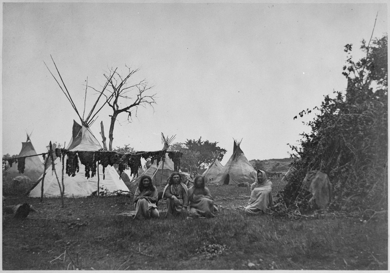
| image | Arapaho camp with buffalo meat drying near Fort Dodge, Kansas | Wikimedia | |||
| image | Arapaho camp with buffalo meat drying near Fort Dodge, Kansas | 1870 | Wikimedia | ||
| image | Harper's Weekly, 1867 - Interior of Fort Dodge, Kansas | Wikimedia | |||
| image | Harper's weekly (1867) (14782644042) | 1857 | Wikimedia | ||
| image | Harper's weekly (1867) (14782644042) Sutler's Store at Fort Dodge, Kansas (cropped) | 1857 | Wikimedia | ||
| image | Map of Roads from Fort Dodge, Kansas to Camp Supply, Indian Territory | Wikimedia | |||
| image | Military Reservation of Fort Dodge | 1876 | Wikimedia | ||
| image | Plan of Fort Dodge | 1876 | Wikimedia | ||
| image | Sante Fe Trail Marker, near Coronado's Cross, Fort Dodge, Kansas | 2019 | Wikimedia | ||
| image | Sutler's store at Fort Dodge, Kansas - sketched by Theodore R. Davis. LCCN96515277 | 1867 | Wikimedia | ||


