Q7229652: Difference between revisions
From Warlike
Q7229652
(Bot: Automated import of articles *** existing text overwritten ***) |
(Bot: Automated import of articles *** existing text overwritten ***) |
||
| Line 1: | Line 1: | ||
{{Page|Popton Fort|Sites|building in Angle, United Kingdom}} | {{Page|Popton Fort|Sites|building in Angle, United Kingdom|}} | ||
Latest revision as of 09:18, 4 October 2024
building in Angle, United Kingdom
Wikimedia, Wikidata
1859
fort, Milford Haven Palmerston Forts, United Kingdom, 
Location: 51.6929, -5.04788, ///burden.restless.retrain, Google, Bing, Aerial View, OldMapsOnline, ESRI Imagery, Historic Markers, KML, NLS, OS,
eDoB,
- All fortification sites
- All maritime sites
- All subterranean sites
- All weapon sites
- All military sites
• Popton Fort datasheet (Warlike)
| Type | Description | Date | Keywords | Notes | Source |
|---|---|---|---|---|---|
| link | British Listed Buildings entry@ | Wikidata | |||
| link | Cadw entry@ | Wikidata | |||
| link | Freebase entry@ | Wikidata | |||
| link | Victorian Forts and Artillery article@ | Wikidata | |||
| base | South Hook Fort | fort, barracks | Wikidata | ||
| museum | Chapel Bay Fort | fort, military museum, tripadvisor | Wikidata | ||
| document | Popton Fort datasheet | Victorian Forts | 2 pages | Warlike | |
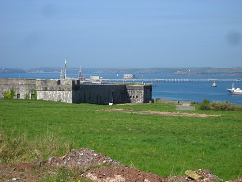
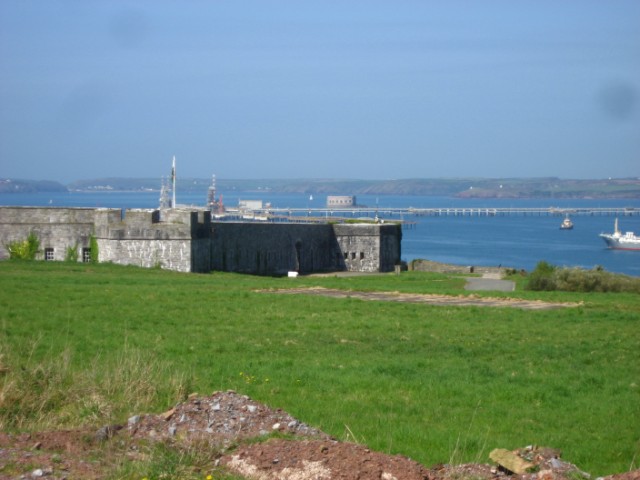
| image | Edge of Popton Fort - geograph.org.uk - 1262966 | 2009 | Wikimedia | ||
| image | Popton Fort - geograph.org.uk - 1262954 | 2009 | Wikimedia | ||

