Dhekelia Cantonment
From Warlike
Q9206745
area of Akrotiri and Dhekelia, a British Overseas Territory on the island of Cyprus
Wikimedia, Wikidata
sovereign base area, Akrotiri and Dhekelia, United Kingdom, 
Location: 35.0174, 33.7734, ///degradation.foreign.massaging, Google, Bing, Aerial View, OldMapsOnline, ESRI Imagery, Historic Markers, KML, NLS, OS,
eDoB,
- All fortification sites
- All maritime sites
- All subterranean sites
- All weapon sites
- All military sites
| Type | Description | Date | Keywords | Notes | Source |
|---|---|---|---|---|---|
| link | Google entry@ | Wikidata | |||
| base | Dekelia Airfield | air base | Wikidata | ||
| base | Dhekelia Cantonment | sovereign base area | Wikidata | ||
| base | Kingsfield Airfield Airport | air base | Wikidata | ||
| image | 12 век(как утверждается) - panoramio | 2009 | Wikimedia | ||
| image | 6903 a38 Garrison officers mess Dhekelia | 1969 | Wikimedia | ||
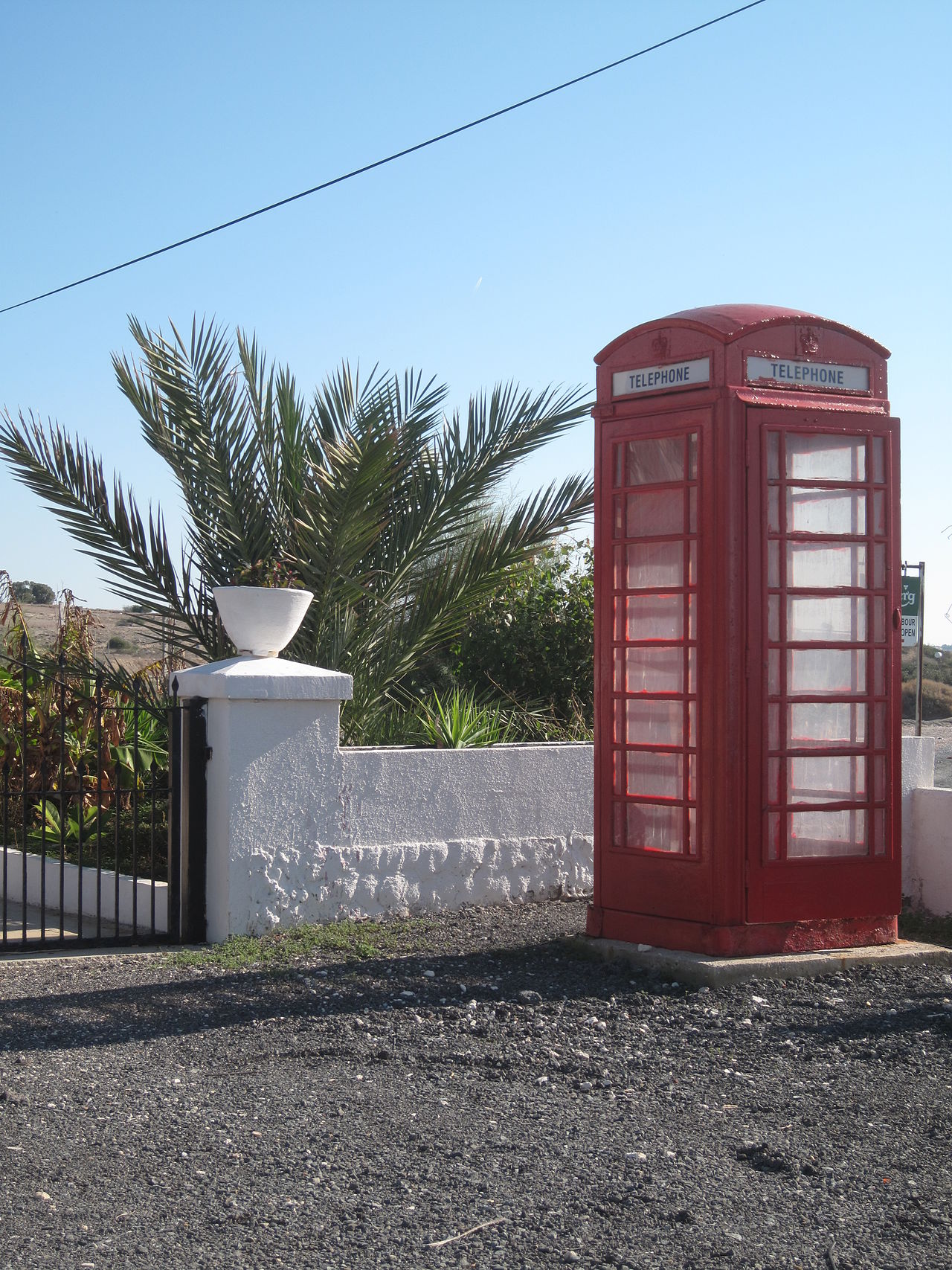
| image | Britse telefooncel op Cyprus | 2009 | Wikimedia | ||
| image | Dhekelia | 2009 | Wikimedia | ||
| image | Dhekelia Range 1 | 2010 | Wikimedia | ||
| image | Minden Band Finale | 2002 | Wikimedia | ||
| image | NAAFI Canteen | 1963 | Wikimedia | ||
| image | Panorama - Power Plant near Ormideia, restaurant Romantzo - panoramio | 2010 | Wikimedia | ||
| image | Smoking Power Plant near Ormideia - panoramio | 2010 | Wikimedia | ||
| image | The Broken wave - panoramio | 2013 | Wikimedia | ||
| image | Прибрежная промышленность - panoramio | 2009 | Wikimedia | ||


