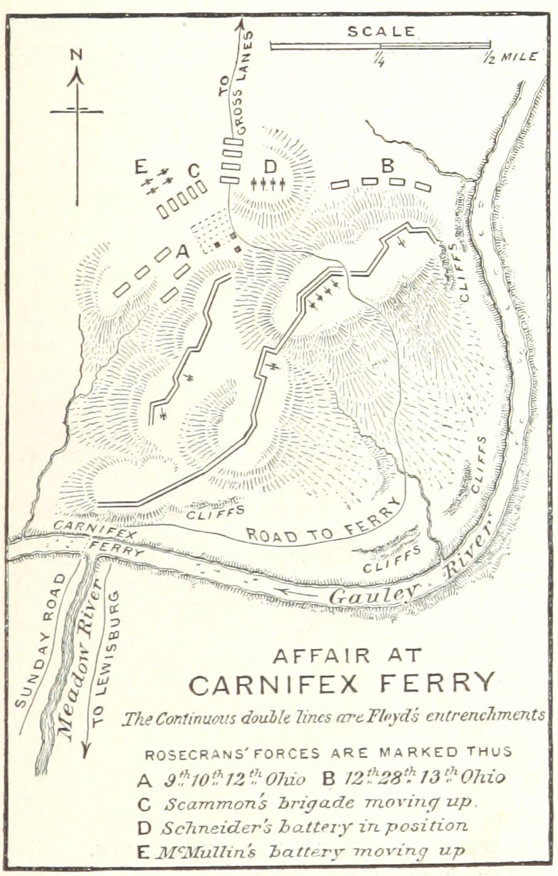
Battle of Carnifex Ferry
From Warlike
Q451711
The Battle of Carnifex Ferry took place on September 10, 1861 in Nicholas County, Virginia, as part of the Operations in Western Virginia Campaign during the American Civil War. The battle resulted in a Union strategic victory that contributed to the eventual Confederate withdrawal from western Virginia, which in turn led to the creation of the State of West Virginia two years later.
1861-09-10T00:00:00Z
1861-09-10T00:00:00Z
1861 Battle of Carnifex Ferry
{"selectable":false,"showCurrentTime":false,"width":"100%","zoomMin":100000000000}
 Map of the battle field of Carnifex Ferry, Gauley River, West Va., Sept. 10th 1861 - United States forces commanded by Brig. Gen. W.S. Rosecrans. LOC lva0000079


