Fort Ritchie
From Warlike
Q392426
MD
Wikimedia, Wikidata
census-designated place, military base, United States, 
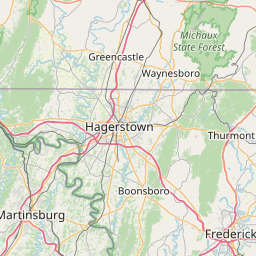
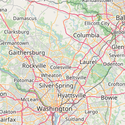
Location: 39.700, -77.502,
KML,
Maps

{"selectable":false,"width":"100%","zoomMin":100000000000}
 Fort Ritchie, Finger Buildings (21441333590)
 Fort Ritchie, Finger Buildings (21638331641)
 Fort Ritchie, Parade Ground (21008236103)
 Fort Ritchie, the Castle (21617951532)
 Plaquetreeftritchie
• 1978 11 19 President Jimmy Carter daily diary (Wikimedia)
• Handbook on German army identification (IA handbookongerman02unit) (Wikimedia)
• Handbook on German army identification (IA handbookongerman02unit) (Wikimedia)
| Type | Date | Description | Keywords | Notes | Source |
|---|---|---|---|---|---|
| link | Freebase entry@ | Wikidata | |||
| base | Camp David | United States Navy, military base, official residence | Wikidata | ||
| base | Fort Detrick | military base | Wikidata | ||
| base | Letterkenny Army Depot | military base | Wikidata | ||
| bunker | Raven Rock Mountain Complex | military base, bunker, underground structure | Wikidata | ||
| fort | Fort McCord | fort, commemorative plaque | Wikidata | ||
| document | 1978 | 1978 11 19 President Jimmy Carter daily diary | Wikimedia | ||
| document | Handbook on German army identification (IA handbookongerman02unit) | Wikimedia | |||
| image | 2005 | Fort Ritchie, Finger Buildings (21441333590) | Wikimedia | ||
| image | 2005 | Fort Ritchie, Finger Buildings (21638331641) | Wikimedia | ||
| image | 2005 | Fort Ritchie, Parade Ground (21008236103) | Wikimedia | ||
| image | 2005 | Fort Ritchie, the Castle (21617951532) | Wikimedia | ||
| image | Plaquetreeftritchie | Wikimedia | |||
.jpg)
.jpg)
.jpg)
.jpg)
Individual site searches
Google custom search of specialist sites
Google custom search of general sites