Battle of the Plains of Abraham
From Warlike
Q311726
The Battle of the Plains of Abraham, also known as the Battle of Quebec, was a pivotal battle in the Seven Years' War – referred to as the French and Indian War in describing the North American theatre. The battle, which took place on 13 September 1759, was fought by the British Army and Royal Navy against the French Army on the Promontory of Quebec, a plateau just outside the walls of Quebec City on land that was originally owned by a farmer named Abraham Martin, hence the name of the location. The battle involved fewer than 10,000 troops in total, but proved to be a deciding moment in the conflict between France and Britain over the fate of New France, influencing the later creation of Canada.
1759
Wikimedia, Wikidata
Battle of Quebec; Battle of Québec
Kingdom of France, New France, Kingdom of Great Britain, New France, 
Canada,
- The Oxford Essential Dictionary of the U.S. Military page@
Location: 46.8017, -71.22, KML, Cluster Map, Maps,
25 places
-

ⓘ
 23-12-210-wolfe
 Mort de Montcalm 1
 Mort de Montcalm 2
 A city devastated by an earthquake. Etching. Wellcome V0025230
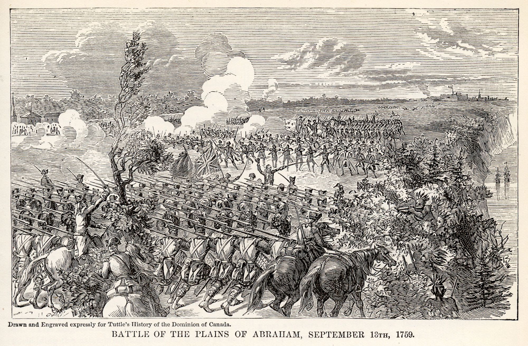 Bataille des plaines d'Abraham
 James Wolfe escaladant les plaines d'AbrahamBataille des plaines d'Abraham
 The death of General Montcalme, at Quebec, in the background Wellcome V0006894
 Bataille des plaines d'Abraham - Le colonel Fraser commandant la charge
 Histoire de la Nouvelle France0082
| Type | Subtype | Date | Description | Notes | Source |
|---|---|---|---|---|---|
| event | armed conflict | 1690 | Battle of Quebec | battle, Kingdom of England | Wikidata |
| event | armed conflict | 1759 | Siege of Quebec | battle, siege | Wikidata |
| event | armed conflict | 1759 | Battle of Beauport | Kingdom of Great Britain, battle | Wikidata |
| event | armed conflict | 1759 | Battle of the Plains of Abraham | Kingdom of France, Kingdom of Great Britain, New France, battle | Wikidata |
| event | armed conflict | 1760 | Battle of Sainte-Foy | Kingdom of France, Kingdom of Great Britain, New France, battle | Wikidata |
| event | armed conflict | 1760 | Siege of Quebec | siege | Wikidata |
| event | armed conflict | 1775 | Battle of Quebec | United States, Kingdom of Great Britain, battle | Wikidata |
| link | page | The Oxford Essential Dictionary of the U.S. Military page@ | Wikidata | ||
| organisation | factory | 1825 | Davie Shipbuilding | shipbuilding, shipyard | Wikidata |
| organisation | shipbuilding | 1858 | Morton Engineering and Dry Dock Company | shipbuilding, business | Wikidata |
| site | artillery battery | Royal Battery | artillery battery | Wikidata | |
| site | bunker | Building 22 | bunker | Wikidata | |
| site | bunker | Building 3 | bunker | Wikidata | |
| site | bunker | Building 44 | bunker | Wikidata | |
| site | fort | Cap Redoubt | redoubt | Wikidata | |
| site | fort | Dauphine Redoubt | redoubt | Wikidata | |
| site | fort | Fort No.1 | fort | Wikidata | |
| site | fort | Jebb's Redoubt | redoubt | Wikidata | |
| site | fort | Sargeants Mess / Jebbs Redoubt, Building 13 | redoubt | Wikidata | |
| site | fort | 1914 | vestiges du fort de Beaumont | fort | Wikidata |
| site | museum | Citadelle of Quebec | military museum, citadel | Wikidata | |
| site | museum | 1865 | Lévis Forts | military museum, fortification | Wikidata |
| site | museum | 1912 | Lévis Armoury | military museum, drill hall | Wikidata |
| site | museum | 1950 | Royal Museum of the 22nd Regiment | military museum, archive, museum | Wikidata |
| site | tower | Martello Tower 1 | Martello tower | Wikidata | |
| site | tower | Martello Tower 2 | Martello tower | Wikidata | |
| site | tower | Martello Tower 3 | Martello tower | Wikidata | |
| site | tower | Martello Tower 4 | Martello tower | Wikidata | |
| commons | image | 23-12-210-wolfe | Commons | ||
| commons | image | Mort de Montcalm 1 | Commons | ||
| commons | image | Mort de Montcalm 2 | Commons | ||
| commons | image | A city devastated by an earthquake. Etching. Wellcome V0025230 | Commons | ||
| commons | image | Bataille des plaines d'Abraham | Commons | ||
| commons | image | James Wolfe escaladant les plaines d'Abraham | Commons | ||
| commons | image | Bataille des plaines d'Abraham | Commons | ||
| commons | image | The death of General Montcalme, at Quebec, in the background Wellcome V0006894 | Commons | ||
| commons | image | Bataille des plaines d'Abraham - Le colonel Fraser commandant la charge | Commons | ||
| commons | image | Histoire de la Nouvelle France0082 | Commons | ||