Rosyth Dockyard
From Warlike
Q2956391
naval dockyard.
Wikimedia, Wikidata
Royal Navy Dockyard, shipyard, United Kingdom, 
Location: 56.02055556, -3.45333333,
KML,
Maps


 Admiralty Chart No 119 Forth Bridge to Crombie Pier, Published 1964
 A Corner of the Dockyard, Rosyth- Winter Art.IWMART1354
 Battleship Warspite (1913) at Rosyth RMG N16494
 Crowds of people and ships at the RN Rosyth open day - geograph.org.uk - 1231439
 Dock buildings - geograph.org.uk - 137303
 Farmland - geograph.org.uk - 77292
 HMS Queen Elizabeth in Rosyth Dockyard MOD 45158229
 Nautical chart of the River Forth Port Edgar to the Carron River
 Navigation buoys - geograph.org.uk - 326686
 Port of Rosyth 2002
 Railway lines at docklands - geograph.org.uk - 44052
 Rosyth Dockyard - 1975 - geograph.org.uk - 1494842
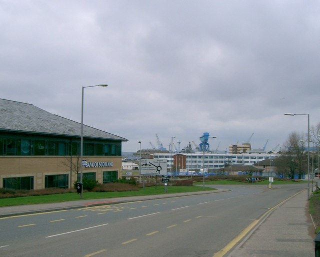 Rosyth Dockyard - geograph.org.uk - 147138
 Rosyth Dockyard - geograph.org.uk - 1354911
 Rosyth Ferry Dock
 Rosyth Ferry Terminal - geograph.org.uk - 15639
 Rosyth Naval Dockyards on an open day - geograph.org.uk - 1227236
 Rosyth-1986a
 Sea Harrier at RN Rosyth open day - geograph.org.uk - 1231437
 Shell damage suffered by HMS Warspite at Jutland RMG N16485
 Steam ships, Rosyth Naval Base - geograph.org.uk - 1354921
 Viewpoint at Newton Village
 View ENE from Newton Lay-by
 Visitors to the big ship (Teist) at the RN open day watching small ships in the harbour - geograph.org.uk - 1231443
 Yard by Night - geograph.org.uk - 900931
%20at%20Rosyth%20RMG%20N16494.jpg)
%20at%20the%20RN%20open%20day%20watching%20small%20ships%20in%20the%20harbour%20-%20geograph.org.uk%20-%201231443.jpg)
Individual site searches
Google custom search of specialist sites
Google custom search of general sites