Jylland
From Warlike
Q1668596
Jylland is a Danish frigate, and is both a screw-propelled steam frigate and a sailship. It took part in the Battle of Heligoland on 9 May 1864, and is preserved as a museum ship in the small town of Ebeltoft, located on the Djursland peninsula in Denmark.
1862 Website,
Wikimedia, Wikidata
beam 13 metre, length 71 metre,
Royal Danish Navy, 
- Tripadvisor page@
Location: 56.1992, 10.6738, KML, Cluster Map, Maps,
3 places
-

U-1008 ⓘ
1943 Type VII C/41 submarine -

U-2544 ⓘ
1945 Type XXI submarine
1862-01-01T00:00:00Z
1862-01-01T00:00:00Z
1862 Jylland
1860-11-20T00:00:00Z
1860-11-20T00:00:00Z
ship launching
1857-06-11T00:00:00Z
1857-06-11T00:00:00Z
keel laying
1862-05-15T00:00:00Z
1862-05-15T00:00:00Z
ship commissioning
1659-07-23T00:00:00Z
1659-07-23T00:00:00Z
{"selectable":false,"showCurrentTime":false,"width":"100%","zoomMin":100000000000}
 Fregatten-jylland-2005
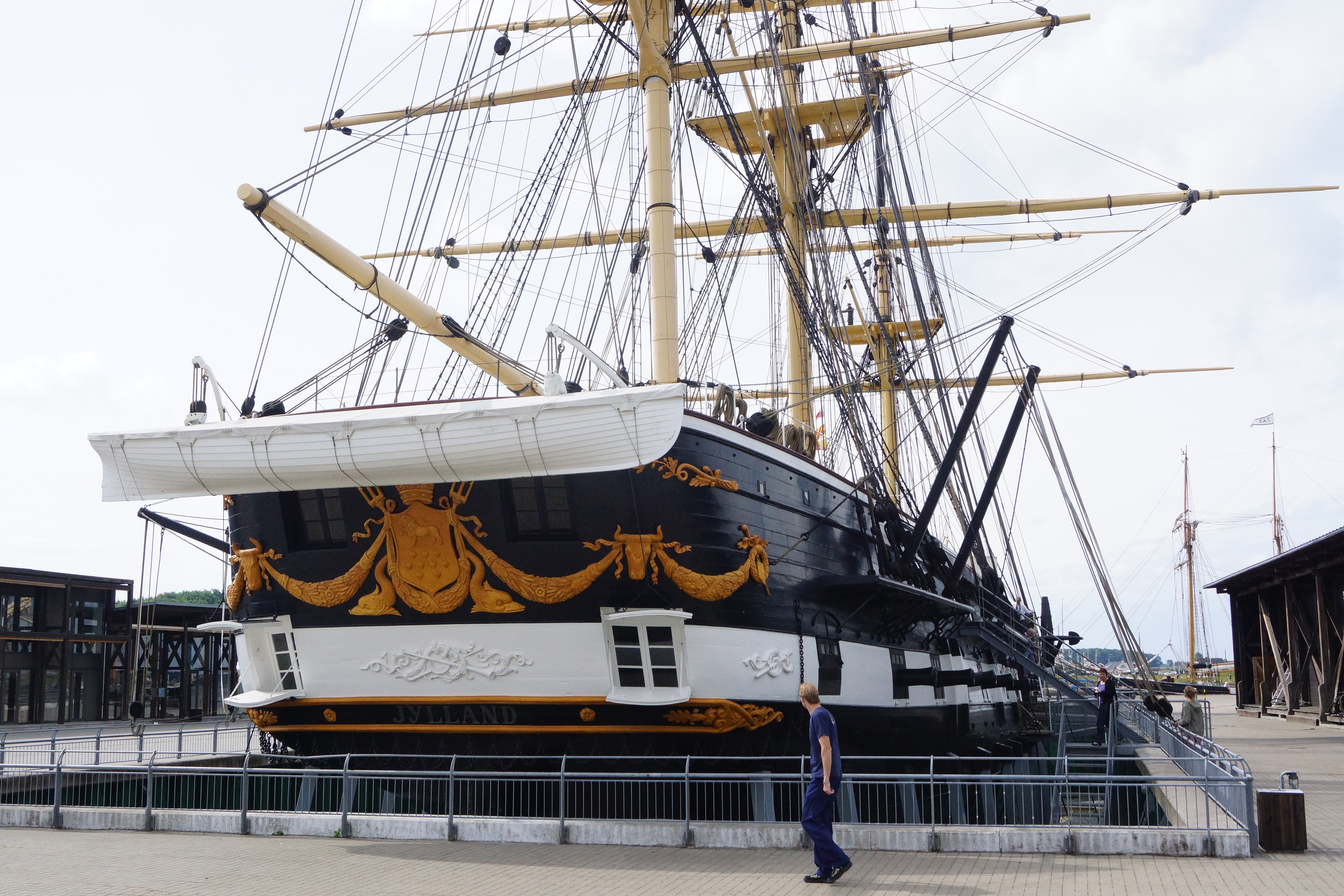 Fregatten Jylland bagfra
 Fregatten Jylland på Landsudstilingen i Aarhus i 1909Fregatten Jylland på Landsudstilingen i Aarhus i 1909
 Danmarks flåde i Københavns havn, 1903
 Landsudstilling, Fregatten Jylland
 Fregatten Jylland ved Juelsminde, 10. maj 1914 (c)
 Fregatten Jylland ved Juelsminde, 10. maj 1914 (B)
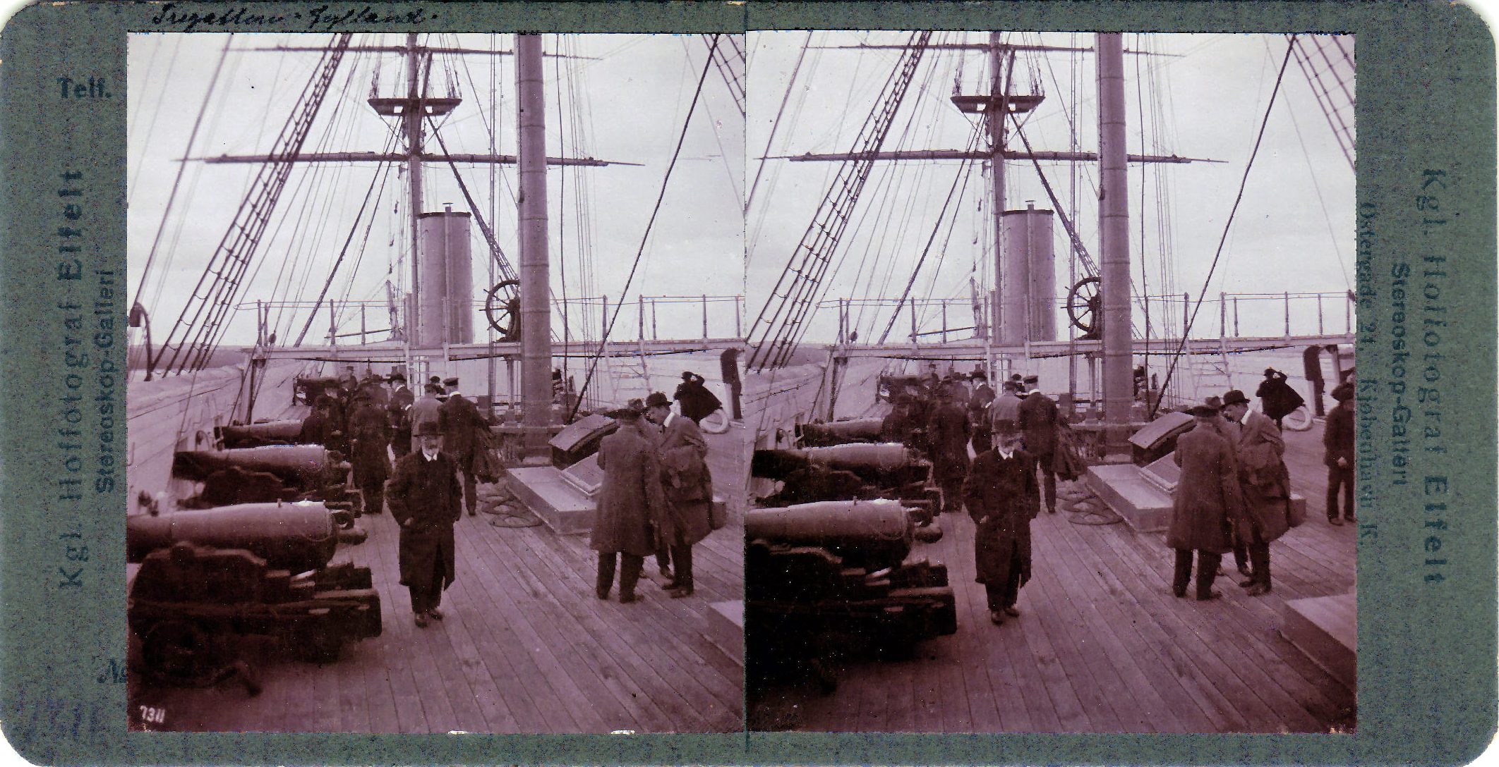 Fregatten Jylland ved Juelsminde, 10. maj 1914
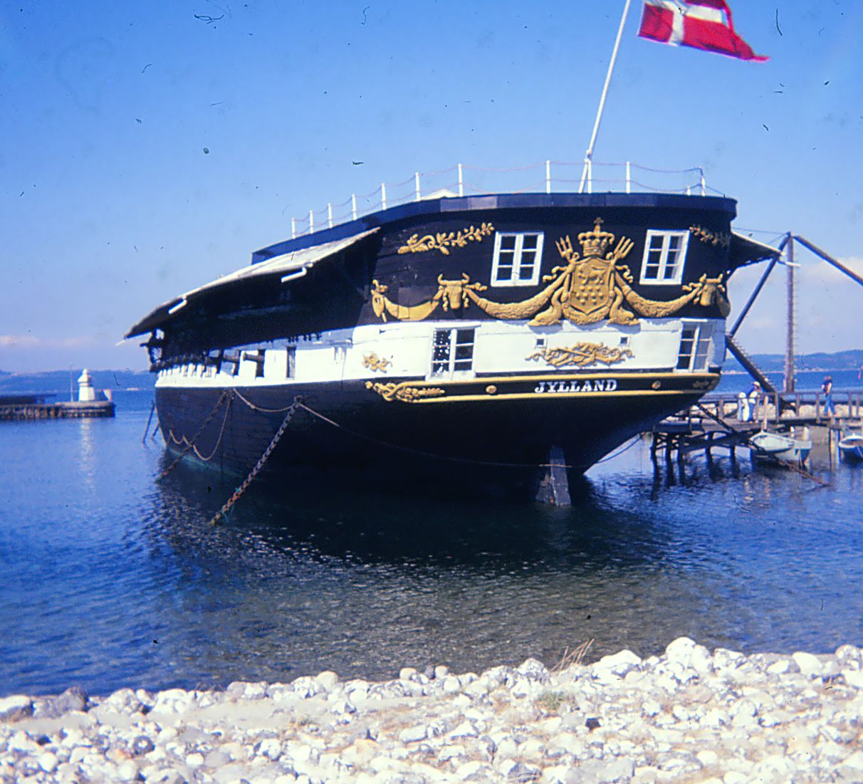 Fregatten Jylland i Ebeltoft
| Type | Subtype | Date | Description | Notes | Source |
|---|---|---|---|---|---|
| event | armed conflict | 1659 | Battle of Ebeltoft | naval battle | Wikidata |
| event | armed conflict | 1849 | Skirmish of Århus | skirmish | Wikidata |
| event | armed conflict | 1944 | Aarhus Air Raid | airstrike | Wikidata |
| link | page | Tripadvisor page@ | Wikidata | ||
| object | watercraft | U-1008 | U-boat, Type VII C/41 submarine | Wikidata | |
| object | watercraft | U-2544 | U-boat, Type XXI submarine | Wikidata | |
| organisation | arms industry | Small Arms Industry | arms industry, business, enterprise | Wikidata | |
| organisation | factory | 1945 | Aarhus Flydedok | shipyard, shipbuilding | Wikidata |
| site | bunker | The German Tower | bunker | Wikidata | |
| site | museum | 1862 | Jylland | preserved watercraft, screw frigate, Royal Danish Navy, museum ship, tripadvisor | Wikidata |
| commons | image | Fregatten-jylland-2005 | Commons | ||
| commons | image | Fregatten Jylland bagfra | Commons | ||
| commons | image | Fregatten Jylland på Landsudstilingen i Aarhus i 1909 | Commons | ||
| commons | image | Fregatten Jylland på Landsudstilingen i Aarhus i 1909 | Commons | ||
| commons | image | Danmarks flåde i Københavns havn, 1903 | Commons | ||
| commons | image | Landsudstilling, Fregatten Jylland | Commons | ||
| commons | image | Fregatten Jylland ved Juelsminde, 10. maj 1914 (c) | Commons | ||
| commons | image | Fregatten Jylland ved Juelsminde, 10. maj 1914 (B) | Commons | ||
| commons | image | Fregatten Jylland ved Juelsminde, 10. maj 1914 | Commons | ||
| commons | image | Fregatten Jylland i Ebeltoft | Commons | ||
.jpg)
.jpg)