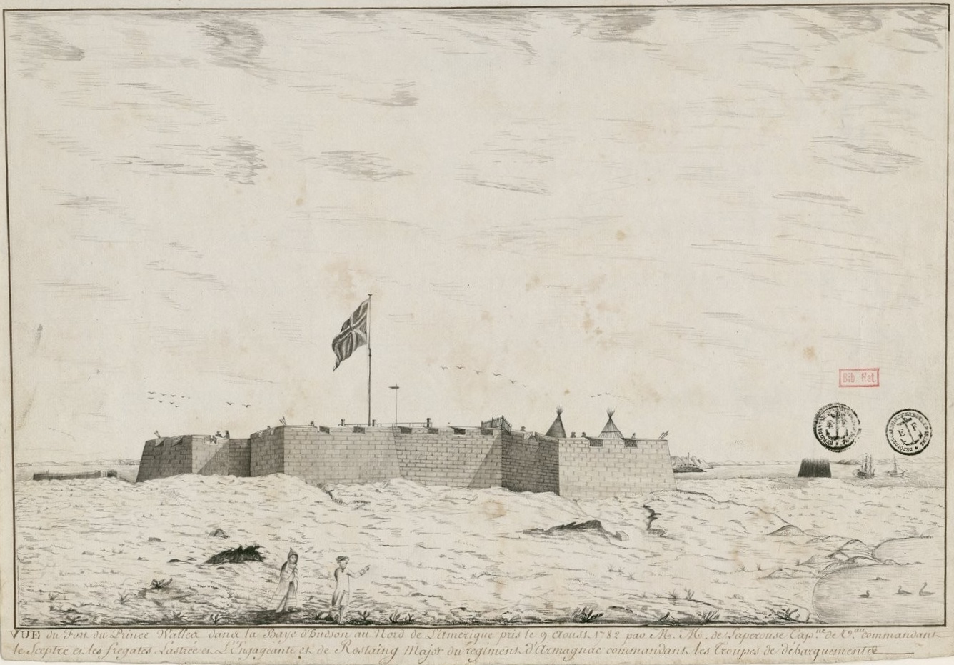
Prince of Wales Fort
From Warlike
The Prince of Wales Fort is a historic bastion fort on Hudson Bay across the Churchill River from Churchill, Manitoba, Canada. It is the oldest building in the country west of Ontario, and the northernmost fort in North America. It is a National Historic Site in the national park system.
1717 Website,
Wikimedia, Wikidata
Fort Churchill
Canada, Canada, 
- Canadian Register of Historic Places page@
- Canadian Register of Historic Places page@
- Directory of Federal Heritage Designations page@
- Directory of Federal Heritage Designations page@
- national historic event page@
- national historic event page@
- National Historic Sites of Canada page@
- National Historic Sites of Canada page@
- FortWiki page@
- Starforts page@
- Tripadvisor page@
Location: 58.7972, -94.2134, KML, Cluster Map, Maps, ![]()
![]()
2 places
1717-01-01T00:00:00Z
1717-01-01T00:00:00Z
1717 Prince of Wales Fort
1731-01-01T00:00:00Z
1731-01-01T00:00:00Z
construction
1782-08-08T00:00:00Z
1782-08-08T00:00:00Z
{"selectable":false,"showCurrentTime":false,"width":"100%","zoomMin":100000000000}
| Type | Subtype | Date | Description | Notes | Source |
|---|---|---|---|---|---|
| event | armed conflict | 1782 | Hudson Bay expedition | France, Kingdom of Great Britain, naval battle | Wikidata |
| link | page | Canadian Register of Historic Places page@ | Wikidata | ||
| link | page | Canadian Register of Historic Places page@ | Wikidata | ||
| link | page | Directory of Federal Heritage Designations page@ | Wikidata | ||
| link | page | Directory of Federal Heritage Designations page@ | Wikidata | ||
| link | page | national historic event page@ | Wikidata | ||
| link | page | national historic event page@ | Wikidata | ||
| link | page | National Historic Sites of Canada page@ | Wikidata | ||
| link | page | National Historic Sites of Canada page@ | Wikidata | ||
| link | page | FortWiki page@ | Wikidata | ||
| link | page | Starforts page@ | Wikidata | ||
| link | page | Tripadvisor page@ | Wikidata | ||
| site | fort | 1717 | Prince of Wales Fort | fort | Wikidata |
| commons | image | Fort Prince of Wales plan BAnQ Vieux-Montréal 06M P750S1P7552 0002 crop | Commons | ||
| commons | image | Joseph Robson's 18th century map of the mouth of Manitoba's Churchill River, published in 1752 | Commons | ||
| commons | image | Plans of York and Prince of Wales Forts (1752) | Commons | ||
| commons | image | Native Map Seventeen Rivers beyond Churchill 1719 (1969) | Commons | ||
| commons | image | A Draught of Churchill River (1752) | Commons | ||
| commons | image | A Map of Part of the Inland Country to the North West of Prince of Wales Fort Hudon's, Bay Samuel Hearne 1772 (1969) | Commons | ||
| commons | image | Vue du fort prince de Walles dans la baie d'Hudson en 1782 | Commons | ||
| commons | image | Plan du siège de Fort Wales en 1782 par les Français | Commons | ||
| commons | image | Ruins of Prince of Wales’ Fort, Churchill, circa 1930 | Commons | ||
| commons | image | Churchill Fort Prince of Wales | Commons | ||


