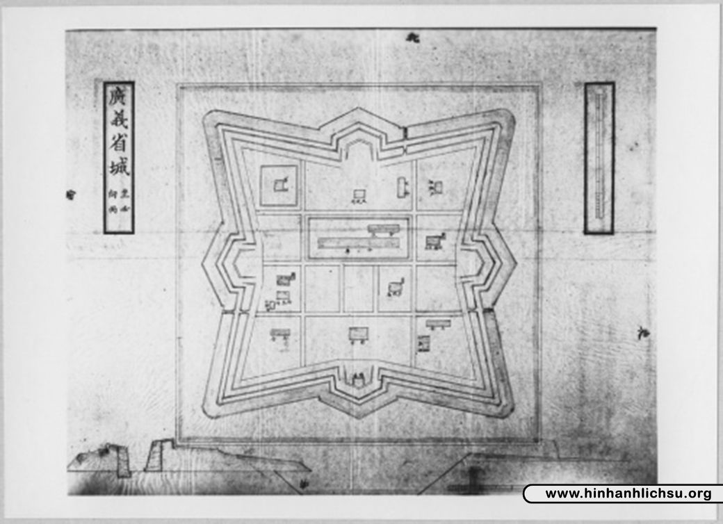
Citadel of Quang Ngai
From Warlike
'
Wikimedia, Wikidata
Citadel of Quảng Ngãi
Vietnam, Vietnam, 
-
Location: 15.1253, 108.8084, KML, Cluster Map, Maps,
4 places
{"selectable":false,"showCurrentTime":false,"width":"100%","zoomMin":100000000000}
A map of a Vietnamese citadel showcasing how these fortifications looks from above in a major Vietnamese city.
| Type | Subtype | Date | Description | Notes | Source |
|---|---|---|---|---|---|
| event | armed conflict | 1965 | Operation Starlite | United States, battle, military operation | Wikidata |
| event | armed conflict | 1965 | Battle of Ba Gia | United States, battle | Wikidata |
| event | armed conflict | 1967 | Battle of Tra Binh Dong | South Korea, North Vietnam, battle | Wikidata |
| site | fort | Citadel of Quang Ngai | fort | Wikidata | |
| commons | image | A map of a Vietnamese citadel showcasing how these fortifications looks from above in a major Vietnamese city. | Commons | ||
| commons | image | A map of a Vietnamese citadel showcasing how these fortifications looks from above in a major Vietnamese city. | Commons | ||


