Vue satellite Citadelle de Lille.jpg
From Warlike

Size of this preview: 600 × 600 pixels. Other resolutions: 240 × 240 pixels | 480 × 480 pixels | 768 × 768 pixels | 1,024 × 1,024 pixels | 2,048 × 2,048 pixels | 4,180 × 4,180 pixels.
Original file (4,180 × 4,180 pixels, file size: 2.75 MB, MIME type: image/jpeg)
Summary
| Description |
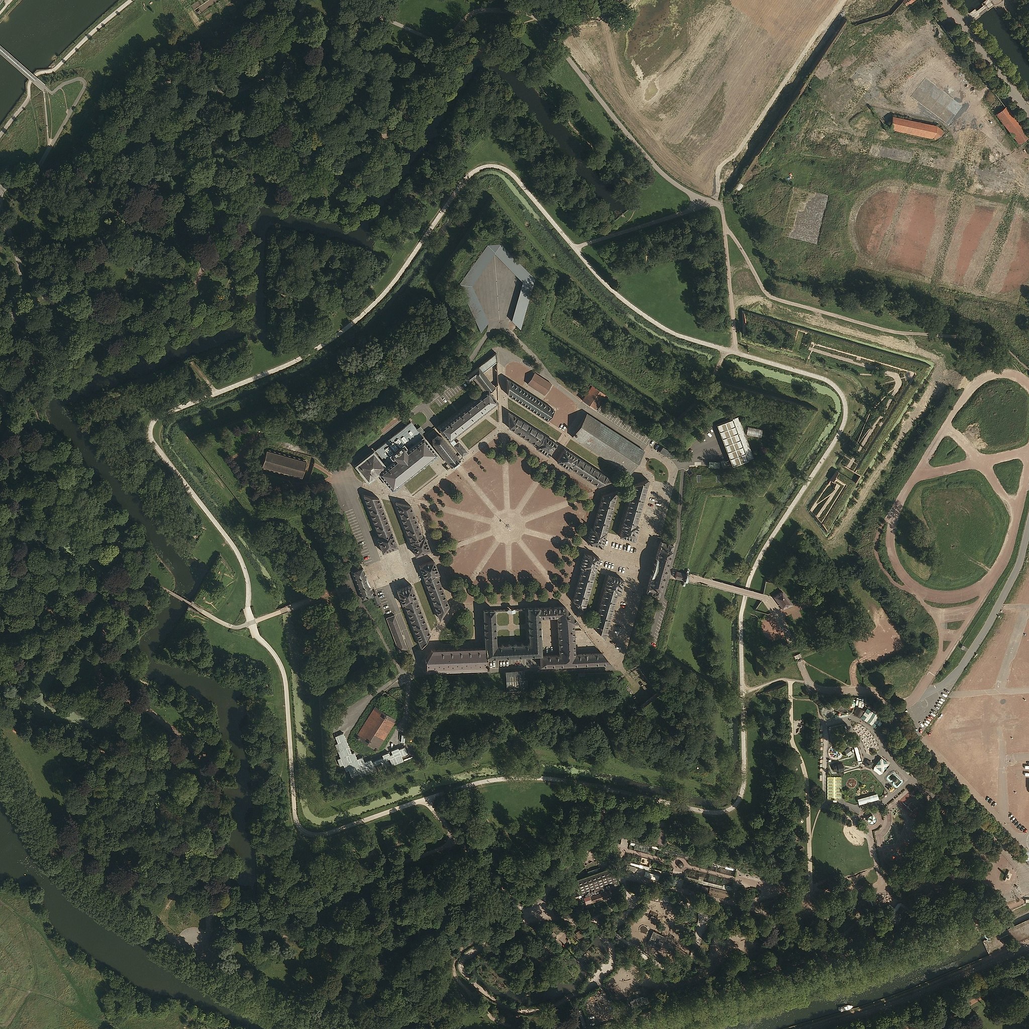
Français : Vue satellite de la citadelle de Lille 11/08/2012 |
| Date | |
| Source | https://remonterletemps.ign.fr/ |
| Author | IGN |
| Camera location | | View this and other nearby images on: OpenStreetMap |
|---|
Licensing
| This file is licensed under the Licence Ouverte 1.0 (License text, English license text).
|
File history
Click on a date/time to view the file as it appeared at that time.
| Date/Time | Thumbnail | Dimensions | User | Comment | |
|---|---|---|---|---|---|
| current | 16:49, 18 November 2020 | | 4,180 × 4,180 (2.75 MB) | wikimediacommons>Papagon | Uploaded a work by IGN from https://remonterletemps.ign.fr/ with UploadWizard |
File usage
The following page uses this file: