Stone monument of air raid in Miyamach.jpg
From Warlike
Size of this preview: 388 × 599 pixels. Other resolutions: 155 × 240 pixels | 311 × 480 pixels | 498 × 768 pixels | 664 × 1,024 pixels | 1,953 × 3,013 pixels.
Original file (1,953 × 3,013 pixels, file size: 1.72 MB, MIME type: image/jpeg)
Summary
| Description |
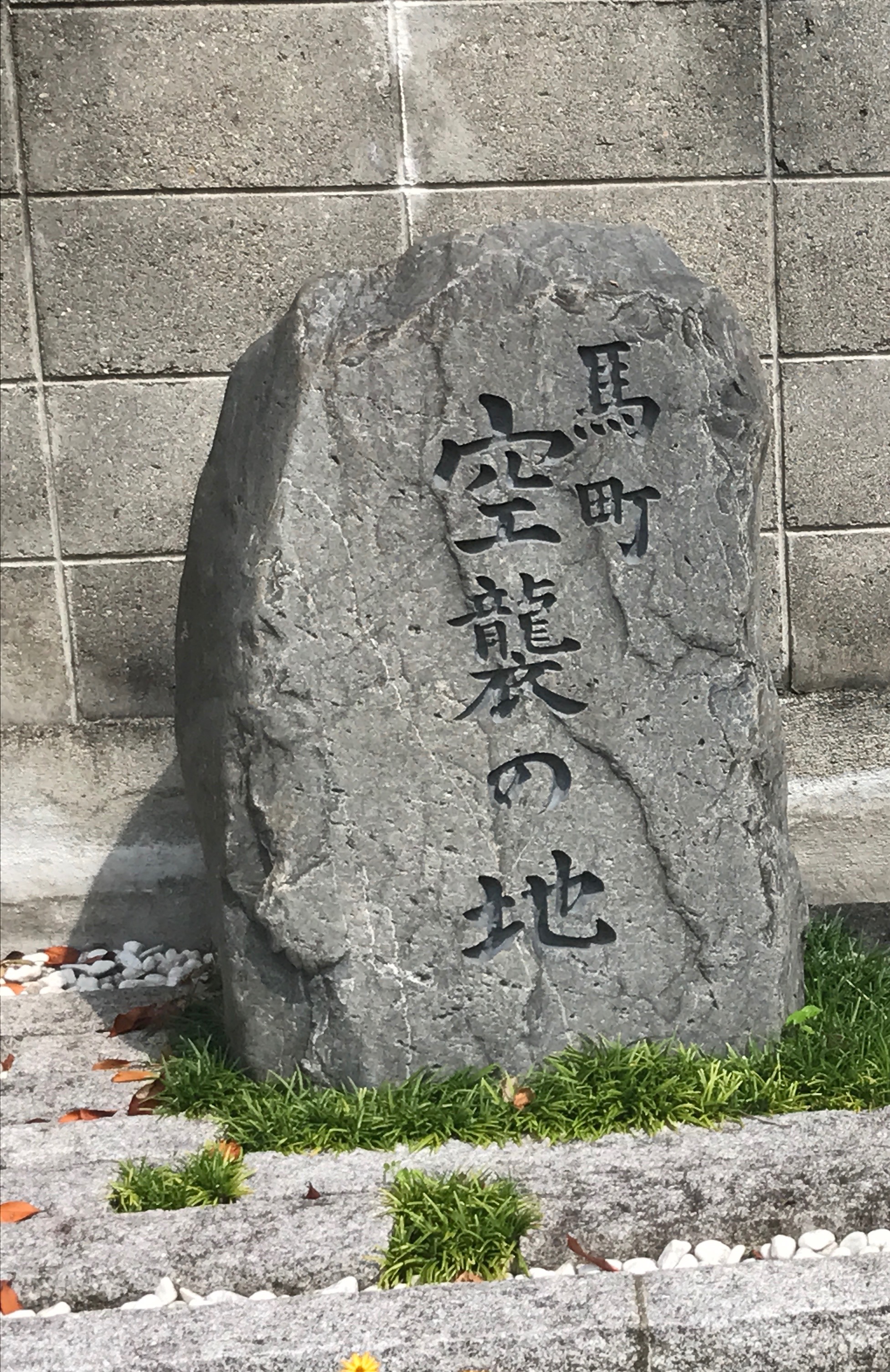
日本語: 京都市東山区馬町 渋谷街道起点付近にある空襲の地石碑 |
| Date | |
| Source | Own work |
| Author | 日本雪氷学会 |
| Camera location | | View this and other nearby images on: OpenStreetMap |
|---|
Licensing
I, the copyright holder of this work, hereby publish it under the following licence:
This file is licensed under the Creative Commons Attribution-Share Alike 4.0 International licence.
- You are free:
- to share – to copy, distribute and transmit the work
- to remix – to adapt the work
- Under the following conditions:
- attribution – You must give appropriate credit, provide a link to the licence, and indicate if changes were made. You may do so in any reasonable manner, but not in any way that suggests the licensor endorses you or your use.
- share alike – If you remix, transform, or build upon the material, you must distribute your contributions under the same or compatible licence as the original.
File history
Click on a date/time to view the file as it appeared at that time.
| Date/Time | Thumbnail | Dimensions | User | Comment | |
|---|---|---|---|---|---|
| current | 06:09, 6 August 2017 | | 1,953 × 3,013 (1.72 MB) | wikimediacommons>日本雪氷学会 | User created page with UploadWizard |
File usage
There are no pages that use this file.