Royalist Lines - geograph.org.uk - 249133.jpg
From Warlike
No higher resolution available.
Royalist_Lines_-_geograph.org.uk_-_249133.jpg (640 × 479 pixels, file size: 97 KB, MIME type: image/jpeg)
Summary
| Description |
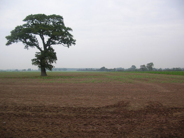
English: Royalist Lines. This land on 2nd July 1644 would have had the foot soldiers of the Royalists gathered for the battle of Marston Moor that led Cromwell to victory over Prince Rupert. The battle covered four gridsquares, those of SE4851, SE4852, SE4951 and SE4952 where an obelisk marks the spot. |
| Date | |
| Source | From geograph.org.uk |
| Author | DS Pugh |
| Attribution (required by the licence) | DS Pugh / Royalist Lines / |
| Camera location | | View this and other nearby images on: OpenStreetMap |
|---|
_heading:0.00&language=en-gb)
| Object location | | View this and other nearby images on: OpenStreetMap |
|---|
_heading:0.00&language=en-gb)
Licensing

|
This image was taken from the Geograph GB & Eire project collection. See this photograph's page on the Geograph website for the photographer's contact details. The copyright on this image is owned by DS Pugh, and is licensed for reuse under the Creative Commons Attribution Share-Alike 2.0 license.
|
This file is licensed under the Creative Commons Attribution-Share Alike 2.0 Generic licence.
Attribution:
DS Pugh
- You are free:
- to share – to copy, distribute and transmit the work
- to remix – to adapt the work
- Under the following conditions:
- attribution – You must give appropriate credit, provide a link to the licence, and indicate if changes were made. You may do so in any reasonable manner, but not in any way that suggests the licensor endorses you or your use.
- share alike – If you remix, transform, or build upon the material, you must distribute your contributions under the same or compatible licence as the original.
File history
Click on a date/time to view the file as it appeared at that time.
| Date/Time | Thumbnail | Dimensions | User | Comment | |
|---|---|---|---|---|---|
| current | 16:17, 1 February 2010 | | 640 × 479 (97 KB) | wikimediacommons>GeographBot | == {{int:filedesc}} == {{Information |description={{en|1=Royalist Lines. This land on 2nd July 1644 would have had the foot soldiers of the Royalists gathered for the battle of Marston Moor that led Cromwell to victory over Prince Rupert. The battle cover |
File usage
There are no pages that use this file.