Rindö February 2013 03.jpg
From Warlike
Size of this preview: 800 × 534 pixels. Other resolutions: 320 × 214 pixels | 640 × 427 pixels | 1,024 × 683 pixels | 1,280 × 854 pixels | 2,560 × 1,709 pixels | 5,482 × 3,659 pixels.
Original file (5,482 × 3,659 pixels, file size: 13.08 MB, MIME type: image/jpeg)
Summary
| Description |
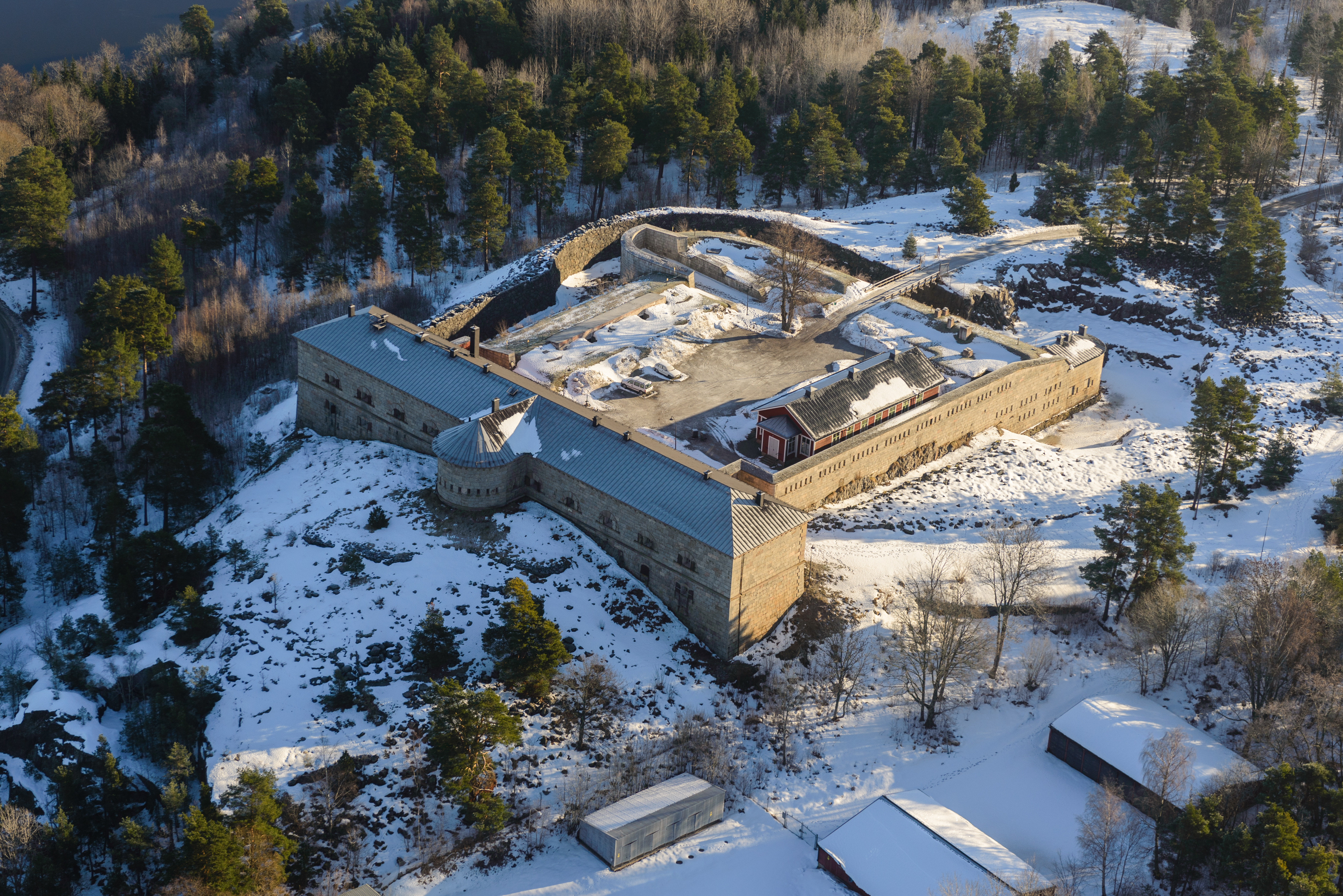
English: Rindö |
| Date | |
| Source | Own work |
| Author | Arild Vågen |
| Object location | | View this and other nearby images on: OpenStreetMap |
|---|
| This aerial photograph has been approved for publishing by the Swedish Armed Forces with the ID: FMTM 10 830:10771
|
This file was made possible through the pool of technology at Wikimedia Sverige. |
Licensing
I, the copyright holder of this work, hereby publish it under the following licence:
This file is licensed under the Creative Commons Attribution-Share Alike 3.0 Unported licence.
- You are free:
- to share – to copy, distribute and transmit the work
- to remix – to adapt the work
- Under the following conditions:
- attribution – You must give appropriate credit, provide a link to the licence, and indicate if changes were made. You may do so in any reasonable manner, but not in any way that suggests the licensor endorses you or your use.
- share alike – If you remix, transform, or build upon the material, you must distribute your contributions under the same or compatible licence as the original.
File history
Click on a date/time to view the file as it appeared at that time.
| Date/Time | Thumbnail | Dimensions | User | Comment | |
|---|---|---|---|---|---|
| current | 10:18, 15 March 2013 | | 5,482 × 3,659 (13.08 MB) | wikimediacommons>ArildV | User created page with UploadWizard |
File usage
There are no pages that use this file.