Rifle Range Target at Tregantle Fort - geograph.org.uk - 371015.jpg
From Warlike

Size of this preview: 601 × 599 pixels. Other resolutions: 241 × 240 pixels | 482 × 480 pixels | 640 × 638 pixels.
Original file (640 × 638 pixels, file size: 106 KB, MIME type: image/jpeg)
Summary
| Description |
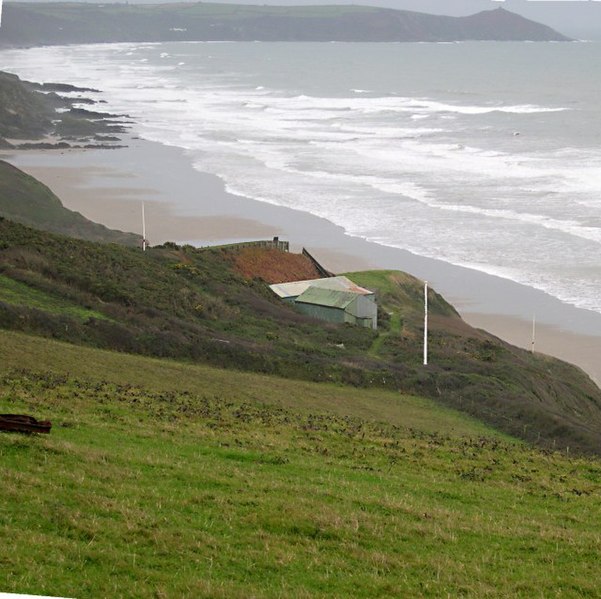
English: Rifle Range Target at Tregantle Fort The lands around Tregantle fort are used for military target practice. The permissive path along the coast is only open when there is no firing. |
| Date | |
| Source | From geograph.org.uk |
| Author | Tony Atkin |
| Attribution (required by the licence) | Tony Atkin / Rifle Range Target at Tregantle Fort / |
| Camera location | | View this and other nearby images on: OpenStreetMap |
|---|
_heading:157.00&language=en-gb)
| Object location | | View this and other nearby images on: OpenStreetMap |
|---|
_heading:157.00&language=en-gb)
Licensing

|
This image was taken from the Geograph GB & Eire project collection. See this photograph's page on the Geograph website for the photographer's contact details. The copyright on this image is owned by Tony Atkin, and is licensed for reuse under the Creative Commons Attribution Share-Alike 2.0 license.
|
This file is licensed under the Creative Commons Attribution-Share Alike 2.0 Generic licence.
Attribution:
Tony Atkin
- You are free:
- to share – to copy, distribute and transmit the work
- to remix – to adapt the work
- Under the following conditions:
- attribution – You must give appropriate credit, provide a link to the licence, and indicate if changes were made. You may do so in any reasonable manner, but not in any way that suggests the licensor endorses you or your use.
- share alike – If you remix, transform, or build upon the material, you must distribute your contributions under the same or compatible licence as the original.
File history
Click on a date/time to view the file as it appeared at that time.
| Date/Time | Thumbnail | Dimensions | User | Comment | |
|---|---|---|---|---|---|
| current | 21:19, 4 January 2011 | | 640 × 638 (106 KB) | wikimediacommons>GeographBot | == {{int:filedesc}} == {{Information |description={{en|1=Rifle Range Target at Tregantle Fort The lands around Tregantle fort are used for military target practice. The permissive path along the coast is only open when there is no firing.}} |date=2005-11 |
File usage
There are no pages that use this file.