Redoute du Castella.jpg
From Warlike
Original file (4,000 × 3,000 pixels, file size: 2.92 MB, MIME type: image/jpeg)
This file is from Wikimedia Commons and may be used by other projects. The description on its file description page there is shown below.
Summary
| DescriptionRedoute du Castella.jpg |
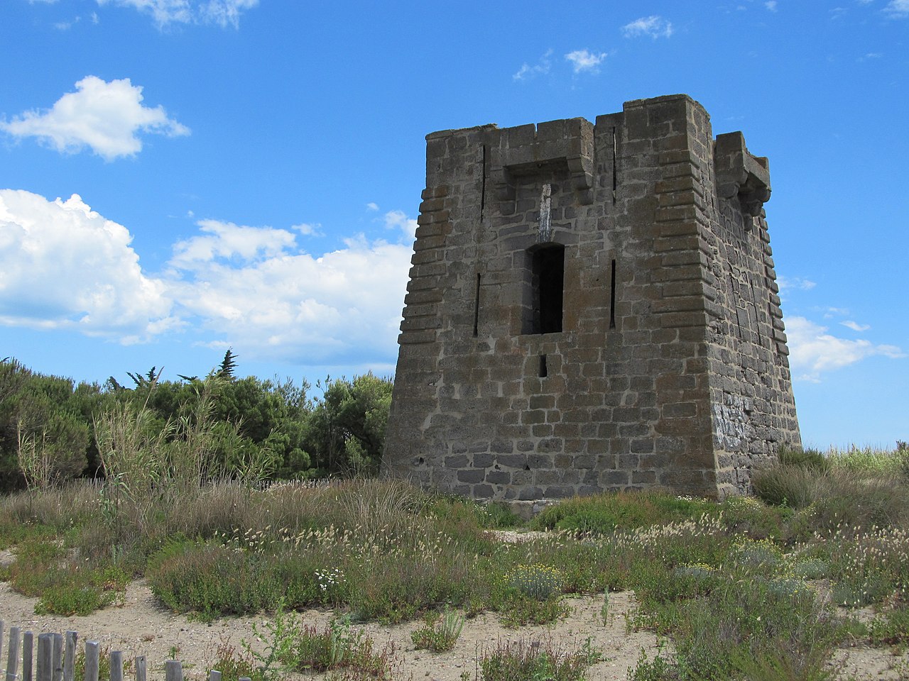
Français : Redoute du Castellas, facades nord-ouest et sud-ouest, photo prise depuis la voie verte. |
| Date | |
| Source | Own work |
| Author | Rulhe |
| Camera location | 43° 20′ 10.31″ N, 3° 34′ 33.9″ E | View this and other nearby images on: OpenStreetMap |
|---|
|
This building is inscrit au titre des monuments historiques de la France. It is indexed in the base Mérimée, a database of architectural heritage maintained by the French Ministry of Culture, under the reference PA00103727 brezhoneg ∙ català ∙ Deutsch ∙ English ∙ español ∙ Esperanto ∙ euskara ∙ français ∙ italiano ∙ magyar ∙ Nederlands ∙ português do Brasil ∙ português ∙ română ∙ sicilianu ∙ slovenščina ∙ suomi ∙ svenska ∙ Ελληνικά ∙ беларуская (тарашкевіца) ∙ македонски ∙ русский ∙ українська ∙ বাংলা ∙ +/− |
Licensing
- You are free:
- to share – to copy, distribute and transmit the work
- to remix – to adapt the work
- Under the following conditions:
- attribution – You must give appropriate credit, provide a link to the licence, and indicate if changes were made. You may do so in any reasonable manner, but not in any way that suggests the licensor endorses you or your use.
- share alike – If you remix, transform, or build upon the material, you must distribute your contributions under the same or compatible licence as the original.
Captions
Items portrayed in this file
depicts
30 May 2014
43°20'10.307339999"N, 3°34'33.899459999"E
0.001 second
7.548 millimetre
125
image/jpeg
3,060,839 byte
3,000 pixel
4,000 pixel
19653cdd19e5a25bd7c948a3816489e282b4f205
File history
Click on a date/time to view the file as it appeared at that time.
| Date/Time | Thumbnail | Dimensions | User | Comment | |
|---|---|---|---|---|---|
| current | 13:19, 1 June 2014 | 4,000 × 3,000 (2.92 MB) | wikimediacommons>Rulhe | User created page with UploadWizard |
File usage
There are no pages that use this file.
Metadata
This file contains additional information, probably added from the digital camera or scanner used to create or digitise it.
If the file has been modified from its original state, some details may not fully reflect the modified file.
| Camera manufacturer | Canon |
|---|---|
| Camera model | Canon PowerShot SX130 IS |
| Exposure time | 1/1,000 sec (0.001) |
| F Number | f/4 |
| ISO speed rating | 125 |
| Date and time of data generation | 14:08, 30 May 2014 |
| Lens focal length | 7.548 mm |
| Latitude | 43° 20′ 10.31″ N |
| Longitude | 3° 34′ 33.9″ E |
| Short title |
|
| Orientation | Normal |
| Horizontal resolution | 180 dpi |
| Vertical resolution | 180 dpi |
| Software used | digiKam-3.4.0 |
| File change date and time | 14:08, 30 May 2014 |
| Y and C positioning | Co-sited |
| Exif version | 2.3 |
| Date and time of digitising | 14:08, 30 May 2014 |
| Meaning of each component |
|
| Image compression mode | 3 |
| APEX shutter speed | 9.96875 |
| APEX aperture | 4 |
| APEX exposure bias | 0 |
| Maximum land aperture | 4 APEX (f/4) |
| Metering mode | Pattern |
| Flash | Flash did not fire, compulsory flash suppression |
| Supported Flashpix version | 1 |
| Colour space | sRGB |
| Focal plane X resolution | 16,393.442622951 |
| Focal plane Y resolution | 16,393.442622951 |
| Focal plane resolution unit | inches |
| Sensing method | One-chip colour area sensor |
| File source | Digital still camera |
| Custom image processing | Normal process |
| Exposure mode | Auto exposure |
| White balance | Auto white balance |
| Digital zoom ratio | 1 |
| Scene capture type | Standard |
| Geodetic survey data used | WGS-84 |
| GPS tag version | 0.0.0.2 |
| Rating (out of 5) | 0 |
| Date metadata was last modified | 14:08, 30 May 2014 |
| Urgency | 0 |