Radar Brdy.jpg
From Warlike

Size of this preview: 800 × 600 pixels. Other resolutions: 320 × 240 pixels | 640 × 480 pixels | 1,024 × 768 pixels | 1,280 × 960 pixels | 2,048 × 1,536 pixels.
Original file (2,048 × 1,536 pixels, file size: 728 KB, MIME type: image/jpeg)
Summary
| Description |
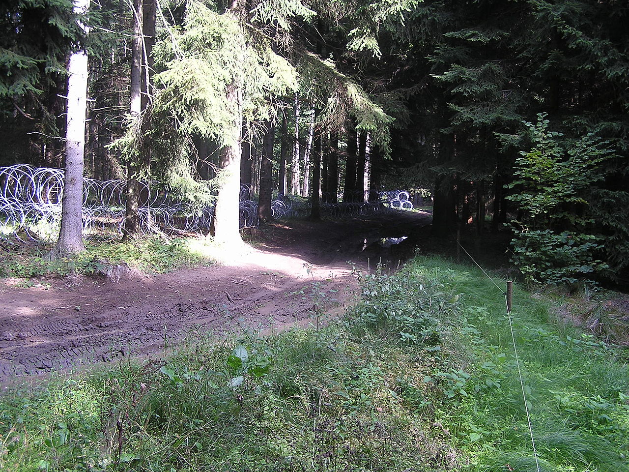
Čeština: Prostor plánované radarové základny v ČR |
||
| Date | |||
| Source | Own work | ||
| Author | JAn Dudík | ||
| Permission (Reusing this file) |
|
| Camera location | | View this and other nearby images on: OpenStreetMap |
|---|
File history
Click on a date/time to view the file as it appeared at that time.
| Date/Time | Thumbnail | Dimensions | User | Comment | |
|---|---|---|---|---|---|
| current | 18:54, 3 November 2008 | | 2,048 × 1,536 (728 KB) | wikimediacommons>JAn Dudík | {{Information |Description={{cs|1=Prostor plánované radorové základny v ČR}} |Source=Own work |Author=Me |Date=2008-09-28 |Permission= |other_versions= }} <!--{{ImageUpload|full}}--> Category:Brdy |
File usage
There are no pages that use this file.