Pano-fl.jpg
From Warlike

Size of this preview: 800 × 198 pixels. Other resolutions: 320 × 79 pixels | 640 × 158 pixels | 1,024 × 253 pixels | 1,280 × 317 pixels | 2,560 × 633 pixels | 9,409 × 2,327 pixels.
Original file (9,409 × 2,327 pixels, file size: 17.45 MB, MIME type: image/jpeg)
Summary
| Description |
|
||||||||||||||||||||||
| Date | |||||||||||||||||||||||
| Source |
|
||||||||||||||||||||||
| Author |
Thomas Bresson from Belfort, France
|
||||||||||||||||||||||


| Camera location | | View this and other nearby images on: OpenStreetMap |
|---|
Licensing
This file is licensed under the Creative Commons Attribution 2.0 Generic licence.
- You are free:
- to share – to copy, distribute and transmit the work
- to remix – to adapt the work
- Under the following conditions:
- attribution – You must give appropriate credit, provide a link to the licence, and indicate if changes were made. You may do so in any reasonable manner, but not in any way that suggests the licensor endorses you or your use.
| This image, originally posted to Flickr, was reviewed on January 20, 2010 by the administrator or reviewer File Upload Bot (Magnus Manske), who confirmed that it was available on Flickr under the stated license on that date. |
| Annotations | This image is annotated: View the annotations at Commons |
This image has been assessed using the Quality image guidelines and is considered a Quality image.
|
File history
Click on a date/time to view the file as it appeared at that time.
| Date/Time | Thumbnail | Dimensions | User | Comment | |
|---|---|---|---|---|---|
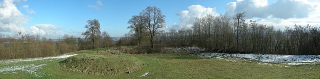
| current | 12:17, 20 January 2010 | 9,409 × 2,327 (17.45 MB) | wikimediacommons>File Upload Bot (Magnus Manske) | {{Information |Description=Panorama vu depuis la table d'orientation de l'enveloppe du Fort Lachaux. Lachaux fortifications. |Source=[http://www.flickr.com/photos/36519414@N00/4285061221/ Fort Lachaux] * Uploaded by [[User:ComputerHotline|ComputerHotline |
File usage
There are no pages that use this file.