PRATAPAGIRI FORT 51 41.jpg
From Warlike
Size of this preview: 800 × 400 pixels. Other resolutions: 320 × 160 pixels | 640 × 320 pixels | 1,024 × 512 pixels | 1,280 × 640 pixels | 4,000 × 2,000 pixels.
Original file (4,000 × 2,000 pixels, file size: 5.68 MB, MIME type: image/jpeg)
This file is from Wikimedia Commons and may be used by other projects. The description on its file description page there is shown below.
Summary
| DescriptionPRATAPAGIRI FORT 51 41.jpg |
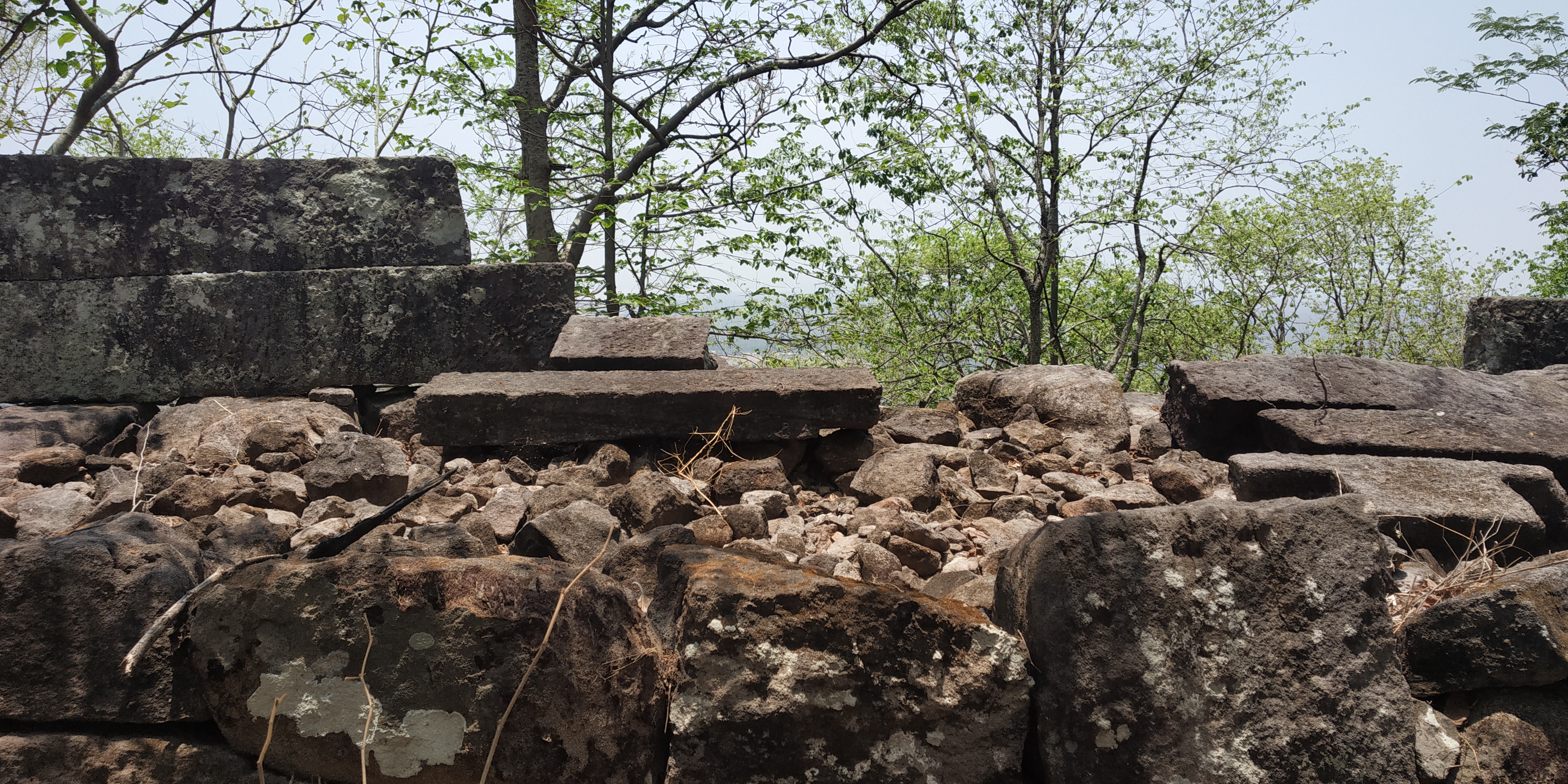
English: Pratapagiri Fort The fort is located at a distance of 35 km from the town of Manthani across the Mahadevpur through the Kataram forest
|
||||||
| Date | |||||||
| Source | Own work | ||||||
| Author | Torchtelangana |
| Camera location | 18° 38′ 23.78″ N, 80° 00′ 24.88″ E | View this and other nearby images on: OpenStreetMap |
|---|
Licensing
I, the copyright holder of this work, hereby publish it under the following licence:
This file is licensed under the Creative Commons Attribution-Share Alike 4.0 International licence.
- You are free:
- to share – to copy, distribute and transmit the work
- to remix – to adapt the work
- Under the following conditions:
- attribution – You must give appropriate credit, provide a link to the licence, and indicate if changes were made. You may do so in any reasonable manner, but not in any way that suggests the licensor endorses you or your use.
- share alike – If you remix, transform, or build upon the material, you must distribute your contributions under the same or compatible licence as the original.
Captions
Add a one-line explanation of what this file represents
Items portrayed in this file
depicts
some value
28 May 2018
18°38'23.777"N, 80°0'24.876"E
125
0.00090909090909091 second
2.2
3.81 millimetre
File history
Click on a date/time to view the file as it appeared at that time.
| Date/Time | Thumbnail | Dimensions | User | Comment | |
|---|---|---|---|---|---|
| current | 14:39, 18 September 2023 | 4,000 × 2,000 (5.68 MB) | wikimediacommons>Torchtelangana | Uploaded own work with UploadWizard |
File usage
There are no pages that use this file.
Metadata
This file contains additional information, probably added from the digital camera or scanner used to create or digitise it.
If the file has been modified from its original state, some details may not fully reflect the modified file.
| Camera model | Redmi Note 5 Pro |
|---|---|
| Camera manufacturer | Xiaomi |
| F Number | f/2.2 |
| Lens focal length | 3.81 mm |
| Date and time of data generation | 12:00, 28 May 2018 |
| ISO speed rating | 125 |
| Exposure time | 1/1,100 sec (0.00090909090909091) |
| Longitude | 80° 0′ 24.88″ E |
| Altitude | 287.254 metres above sea level |
| Latitude | 18° 38′ 23.78″ N |
| File change date and time | 12:00, 28 May 2018 |
| Y and C positioning | Centred |
| Vertical resolution | 72 dpi |
| Orientation | Normal |
| Software used | whyred-user 7.1.1 NGI77B V9.2.7.0.NEIMIEK release-keys |
| Horizontal resolution | 72 dpi |
| Colour space | sRGB |
| Date and time of digitising | 12:00, 28 May 2018 |
| APEX aperture | 2.27 |
| Exposure mode | Auto exposure |
| DateTimeDigitised subseconds | 721615 |
| Focal length in 35 mm film | 4 mm |
| Scene capture type | Landscape |
| Scene type | A directly photographed image |
| DateTimeOriginal subseconds | 721615 |
| Exposure Program | Not defined |
| White balance | Auto white balance |
| DateTime subseconds | 721615 |
| APEX shutter speed | 10.102 |
| Metering mode | Centre weighted average |
| Meaning of each component |
|
| Exif version | 2.2 |
| Flash | Flash did not fire, compulsory flash suppression |
| APEX brightness | 6.33 |
| Sensing method | One-chip colour area sensor |
| Supported Flashpix version | 1 |
| GPS date | 28 May 2018 |
| GPS time (atomic clock) | 06:30 |
Retrieved from "https://warlike.info/File:PRATAPAGIRI_FORT_51_41.jpg"

