Khndzoresk, Army of Armenia, Military 2, Soldiers of Armenia.jpg
From Warlike
Size of this preview: 800 × 532 pixels. Other resolutions: 320 × 213 pixels | 640 × 425 pixels | 1,024 × 680 pixels | 1,280 × 851 pixels | 2,560 × 1,701 pixels | 4,912 × 3,264 pixels.
Original file (4,912 × 3,264 pixels, file size: 14.81 MB, MIME type: image/jpeg)
This file is from Wikimedia Commons and may be used by other projects. The description on its file description page there is shown below.
Summary
| DescriptionKhndzoresk, Army of Armenia, Military 2, Soldiers of Armenia.jpg |
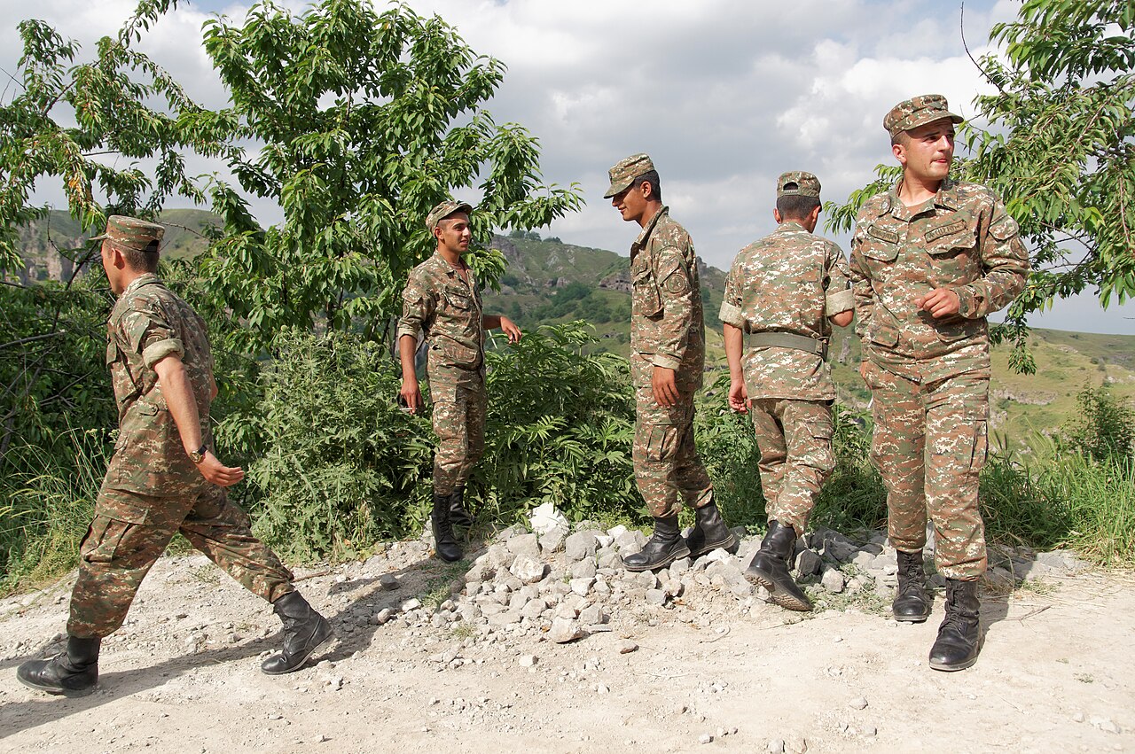
English: Army of Armenia, military. Soldiers of Armenia. Khor Dzor Canyon, Khndzoresk, Armenia.
Русский: Историческая область, пещерный город Хор Дзор (XIII век). Каньон Хор Дзор, Хндзореск, Армения. |
| Date | |
| Source | Own work |
| Author | Vyacheslav Argenberg |
| Camera location | 39° 30′ 01.71″ N, 46° 25′ 49.52″ E | View this and other nearby images on: OpenStreetMap |
|---|
This image was taken by Vyacheslav Argenberg
If you have any questions, comments or queries, please contact me. |
Licensing
Vyacheslav Argenberg, the copyright holder of this work, hereby publishes it under the following licence:
This file is licensed under the Creative Commons Attribution 4.0 International licence.
Attribution:
- You are free:
- to share – to copy, distribute and transmit the work
- to remix – to adapt the work
- Under the following conditions:
- attribution – You must give appropriate credit, provide a link to the licence, and indicate if changes were made. You may do so in any reasonable manner, but not in any way that suggests the licensor endorses you or your use.
Captions
Add a one-line explanation of what this file represents
Army of Armenia. Military. Soldiers of Armenia. Khndzoresk, Armenia.
Каньон Хор Дзор, Хндзореск, Армения.
some value
22 June 2014
39°30'1.710"N, 46°25'49.519"E
15,529,945 byte
3,264 pixel
4,912 pixel
image/jpeg
00cb06544fe9dcf8305e9be232f632a87b66df51
0.0015625 second
100
17 millimetre
File history
Click on a date/time to view the file as it appeared at that time.
| Date/Time | Thumbnail | Dimensions | User | Comment | |
|---|---|---|---|---|---|
| current | 14:00, 15 March 2024 | 4,912 × 3,264 (14.81 MB) | wikimediacommons>Argenberg | Uploaded own work with UploadWizard |
File usage
There are no pages that use this file.
Metadata
This file contains additional information, probably added from the digital camera or scanner used to create or digitise it.
If the file has been modified from its original state, some details may not fully reflect the modified file.
| Image title |
|
|---|---|
| Camera manufacturer | SONY |
| Camera model | SLT-A55V |
| Author | Vyacheslav Argenberg |
| Copyright holder | Vyacheslav Argenberg |
| Exposure time | 1/640 sec (0.0015625) |
| F Number | f/4 |
| ISO speed rating | 100 |
| Date and time of data generation | 16:58, 22 June 2014 |
| Lens focal length | 17 mm |
| Latitude | 39° 30′ 1.71″ N |
| Longitude | 46° 25′ 49.52″ E |
| Altitude | 1,393.8 metres above sea level |
| Orientation | Normal |
| Horizontal resolution | 300 dpi |
| Vertical resolution | 300 dpi |
| Software used | Adobe Photoshop CS4 Windows |
| File change date and time | 20:42, 15 August 2023 |
| Y and C positioning | Co-sited |
| Exposure Program | Aperture priority |
| Exif version | 2.3 |
| Date and time of digitising | 16:58, 22 June 2014 |
| Meaning of each component |
|
| Image compression mode | 8 |
| APEX brightness | 9 |
| APEX exposure bias | 0 |
| Maximum land aperture | 2.9708536585366 APEX (f/2.8) |
| Metering mode | Pattern |
| Light source | Unknown |
| Flash | Flash did not fire, compulsory flash suppression |
| Supported Flashpix version | 1 |
| Colour space | sRGB |
| File source | Digital still camera |
| Scene type | A directly photographed image |
| Custom image processing | Normal process |
| Exposure mode | Auto exposure |
| White balance | Auto white balance |
| Focal length in 35 mm film | 25 mm |
| Scene capture type | Standard |
| Contrast | Normal |
| Saturation | Normal |
| Sharpness | Normal |
| GPS time (atomic clock) | 12:58:37.048 |
| Receiver status | Measurement in progress |
| Measurement mode | 2-dimensional measurement |
| Measurement precision | Excellent (2.6) |
| Speed unit | Kilometres per hour |
| Speed of GPS receiver | 2.8 |
| Reference for direction of movement | True direction |
| Direction of movement | 31.65 |
| Geodetic survey data used | WGS-84 |
| GPS date | 22 June 2014 |
| GPS differential correction | 0 |
| GPS tag version | 0.0.3.2 |
| Supported Flashpix version | 1 |
| Image width | 4,912 px |
| Image height | 3,264 px |
| Date metadata was last modified | 23:42, 15 August 2023 |
| Unique ID of original document | xmp.did:1C665E0B933BEE119DA99D7B47D662C3 |
| IIM version | 24,296 |