Hel - Museum of Coastal Defence - Outside 05.jpg
From Warlike
Size of this preview: 399 × 599 pixels. Other resolutions: 160 × 240 pixels | 320 × 480 pixels | 511 × 768 pixels | 682 × 1,024 pixels | 1,456 × 2,186 pixels.
Original file (1,456 × 2,186 pixels, file size: 839 KB, MIME type: image/jpeg)
Summary
| Description |
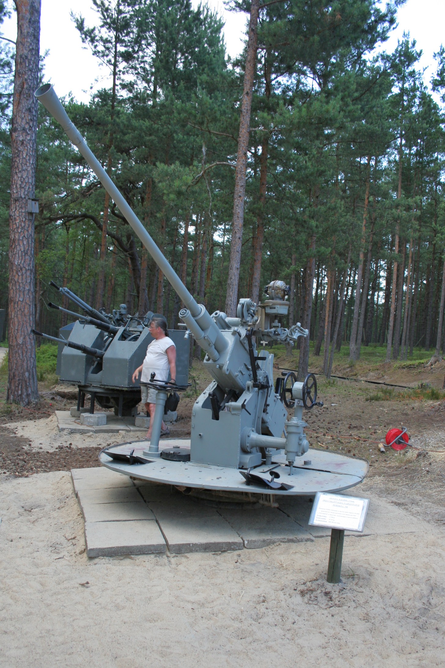
English: Outside exhibition in Museum of Coastal Defence (Soviet 37 mm gun?).
Polski: Wystawa zewnętrzna w Muzeum Obrony Wybrzeza. |
| Date | |
| Source | Own work |
| Author | Yarl |
| Attribution (required by the licence) | © Paweł Marynowski / Wikimedia Commons / |
| Camera location | | View this and other nearby images on: OpenStreetMap |
|---|
Licensing
This file is licensed under the Creative Commons Attribution-Share Alike 3.0 Unported licence.
- You are free:
- to share – to copy, distribute and transmit the work
- to remix – to adapt the work
- Under the following conditions:
- attribution – You must give appropriate credit, provide a link to the licence, and indicate if changes were made. You may do so in any reasonable manner, but not in any way that suggests the licensor endorses you or your use.
- share alike – If you remix, transform, or build upon the material, you must distribute your contributions under the same or compatible licence as the original.
This photo of Kashubia, Pomerelia and Żuławy Wiślane was taken during Wikiekspedycja 2010 set up by Wikimedia Polska Association. You can see all photographs in category Wikiekspedycja 2010.
|
The making of this document was supported by Wikimedia Polska.
|
File history
Click on a date/time to view the file as it appeared at that time.
| Date/Time | Thumbnail | Dimensions | User | Comment | |
|---|---|---|---|---|---|
| current | 15:12, 27 September 2010 | | 1,456 × 2,186 (839 KB) | wikimediacommons>Yarl |
File usage
The following 2 pages use this file: