Grain Tower fire director tower.jpg
From Warlike

Size of this preview: 800 × 600 pixels. Other resolutions: 320 × 240 pixels | 640 × 480 pixels | 1,024 × 768 pixels | 1,280 × 960 pixels | 2,592 × 1,944 pixels.
Original file (2,592 × 1,944 pixels, file size: 1.93 MB, MIME type: image/jpeg)
Summary
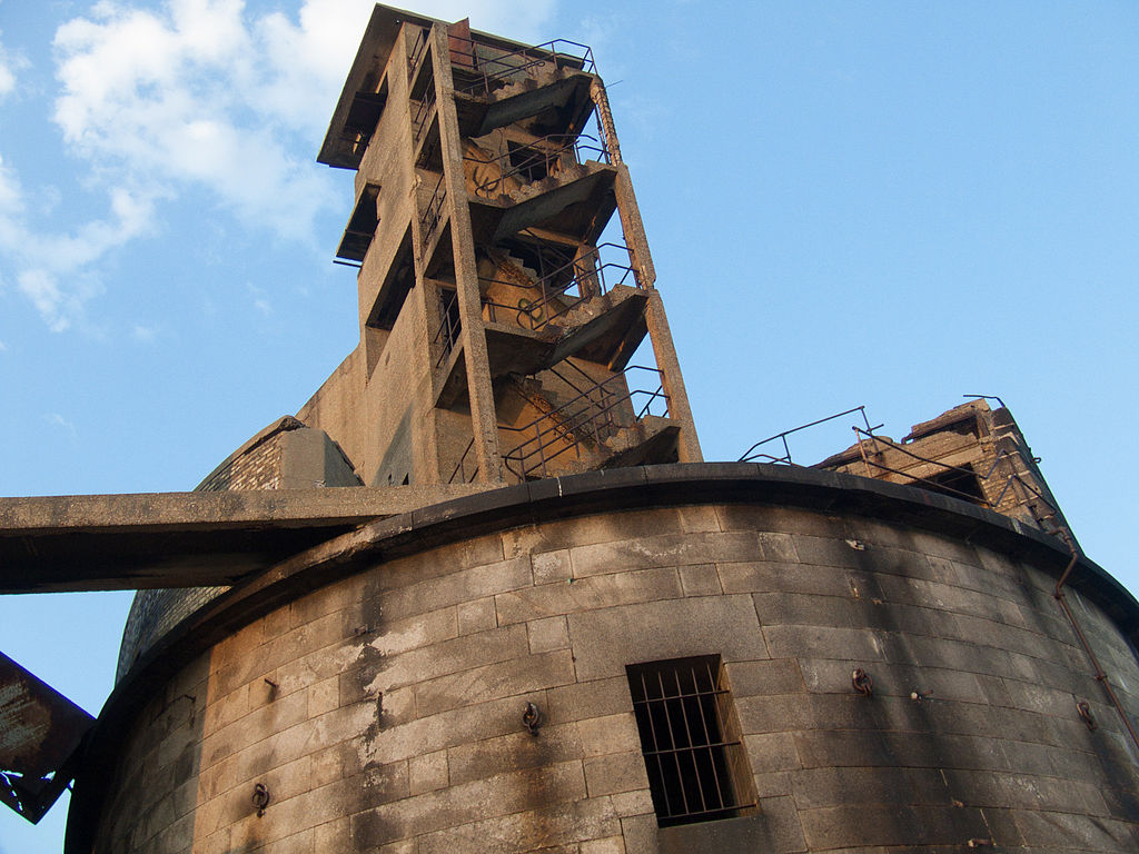
| Description | Close-up view of the Second World War fire director tower built on top of Grain Tower |
| Date | |
| Source | DSCF0628.jpg |
| Author | John Shepherd from Tooting, London, Great Britain |
| Camera location | | View this and other nearby images on: OpenStreetMap |
|---|
Licensing
This file is licensed under the Creative Commons Attribution 2.0 Generic licence.
- You are free:
- to share – to copy, distribute and transmit the work
- to remix – to adapt the work
- Under the following conditions:
- attribution – You must give appropriate credit, provide a link to the licence, and indicate if changes were made. You may do so in any reasonable manner, but not in any way that suggests the licensor endorses you or your use.
| This image was originally posted to Flickr by johnrobertshepherd at https://www.flickr.com/photos/96092756@N00/5398853487. It was reviewed on 13 July 2015 by FlickreviewR and was confirmed to be licensed under the terms of the cc-by-2.0. |
File history
Click on a date/time to view the file as it appeared at that time.
| Date/Time | Thumbnail | Dimensions | User | Comment | |
|---|---|---|---|---|---|
| current | 21:05, 13 July 2015 | | 2,592 × 1,944 (1.93 MB) | wikimediacommons>Prioryman | Transferred from Flickr via Flickr2Commons |
File usage
There are no pages that use this file.