Fort of Siwana - Barmer - Rajasthan - 002.jpg
From Warlike
Size of this preview: 800 × 600 pixels. Other resolutions: 320 × 240 pixels | 640 × 480 pixels | 1,024 × 768 pixels | 1,280 × 960 pixels | 2,560 × 1,920 pixels | 4,160 × 3,120 pixels.
Original file (4,160 × 3,120 pixels, file size: 4.64 MB, MIME type: image/jpeg)
Summary
| Description |
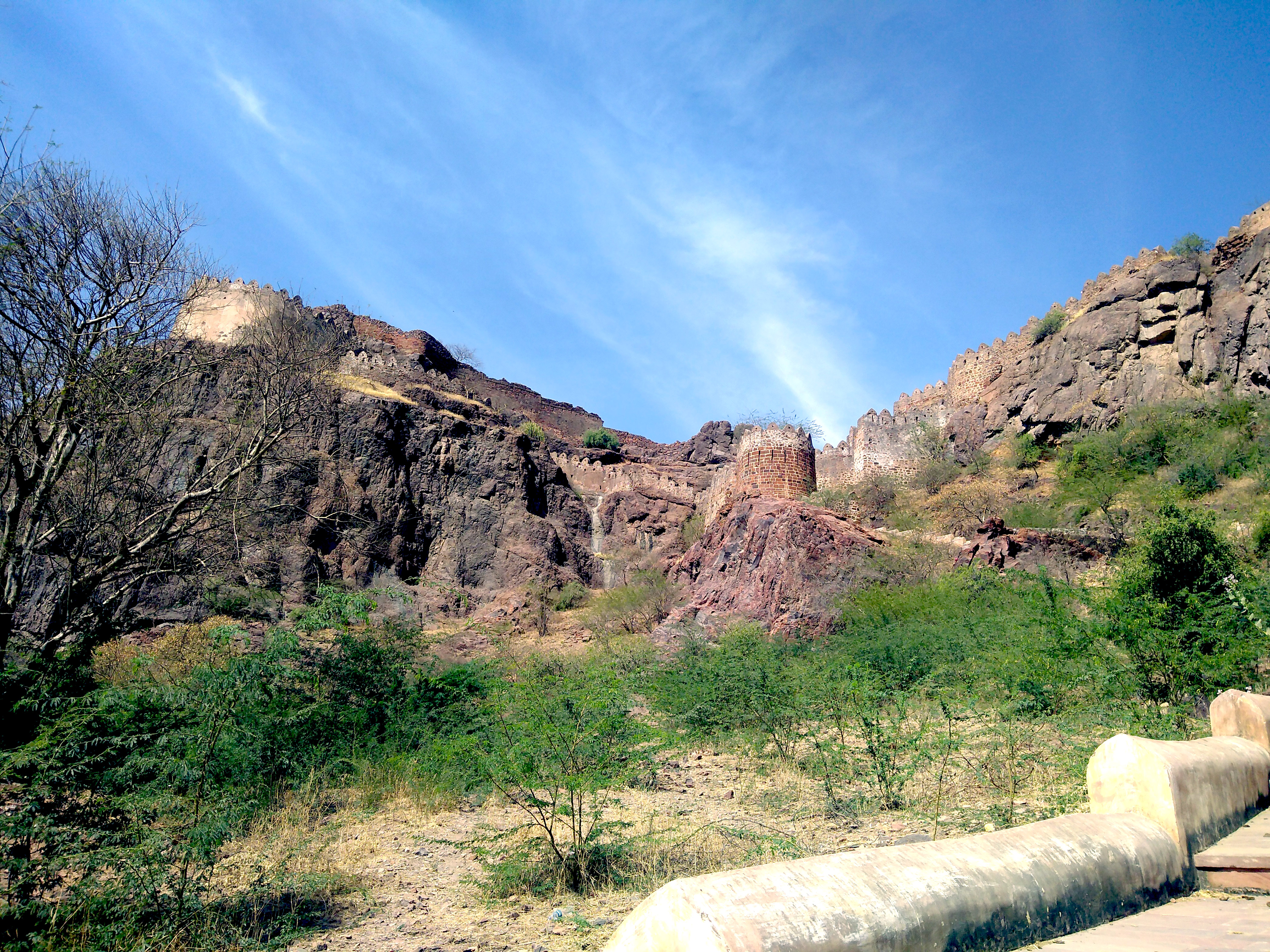
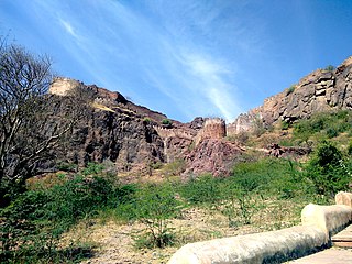
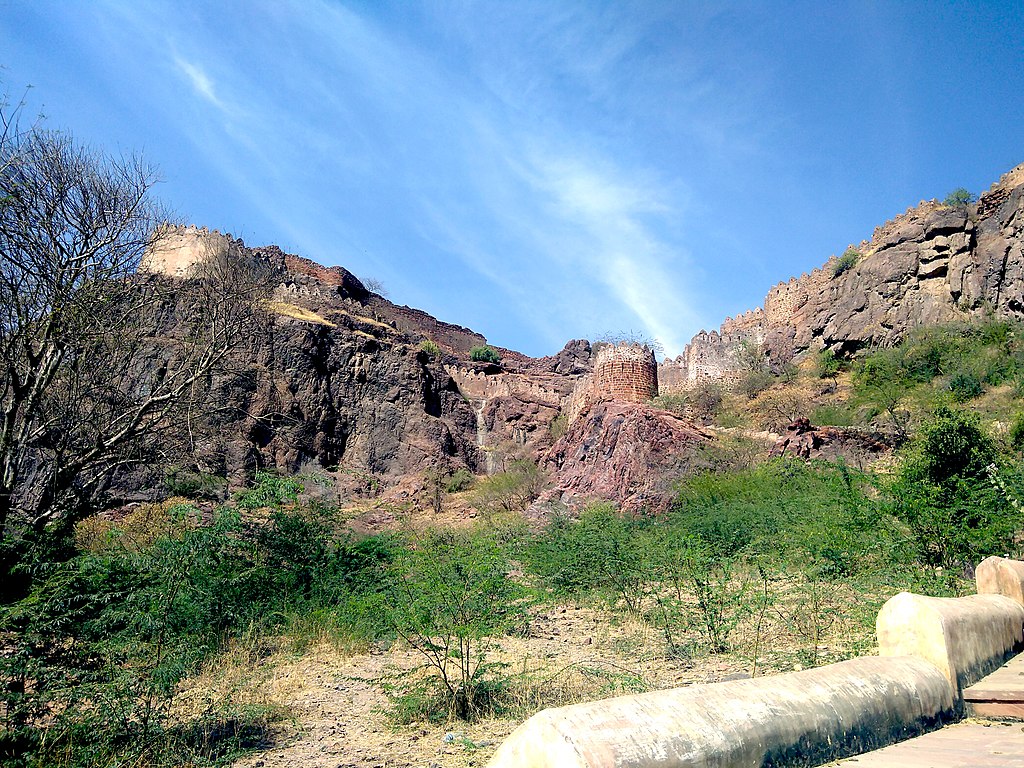
English: Fort of Siwana, also known as Gadh Siwana is a fort atop a cliff in the city of Siwana in Barmer district. Not much of the fort remains, however, one can still see the fort boundary which adorns the outer periphery of the cliff. Once, you manage to climb the one set of steps, you can see a waterbody atop the hill. For the rest of the climb inside the complex, there are no steps remaining, and one has to climb up the terrain to see the rest of it.
|
||
| Date | |||
| Source | Own work | ||
| Author | Akshita raina |
| Camera location | | View this and other nearby images on: OpenStreetMap |
|---|
Licensing
I, the copyright holder of this work, hereby publish it under the following licence:
This file is licensed under the Creative Commons Attribution-Share Alike 4.0 International licence.
- You are free:
- to share – to copy, distribute and transmit the work
- to remix – to adapt the work
- Under the following conditions:
- attribution – You must give appropriate credit, provide a link to the licence, and indicate if changes were made. You may do so in any reasonable manner, but not in any way that suggests the licensor endorses you or your use.
- share alike – If you remix, transform, or build upon the material, you must distribute your contributions under the same or compatible licence as the original.

|
This image was uploaded as part of Wiki Loves Monuments 2019.
|
 |
File history
Click on a date/time to view the file as it appeared at that time.
| Date/Time | Thumbnail | Dimensions | User | Comment | |
|---|---|---|---|---|---|
| current | 16:23, 7 September 2019 | | 4,160 × 3,120 (4.64 MB) | wikimediacommons>Akshitaraina | User created page with UploadWizard |
File usage
There are no pages that use this file.