Fort McKavett State Historic Site.jpg
From Warlike
File:Fort McKavett State Historic Site.jpg

Size of this preview: 800 × 485 pixels. Other resolutions: 320 × 194 pixels | 640 × 388 pixels | 1,024 × 621 pixels | 1,280 × 776 pixels | 1,823 × 1,105 pixels.
Original file (1,823 × 1,105 pixels, file size: 786 KB, MIME type: image/jpeg)
Summary
|
This is an image of a place or building that is listed on the National Register of Historic Places in the United States of America. Its reference number is 71000955. |
| Description |
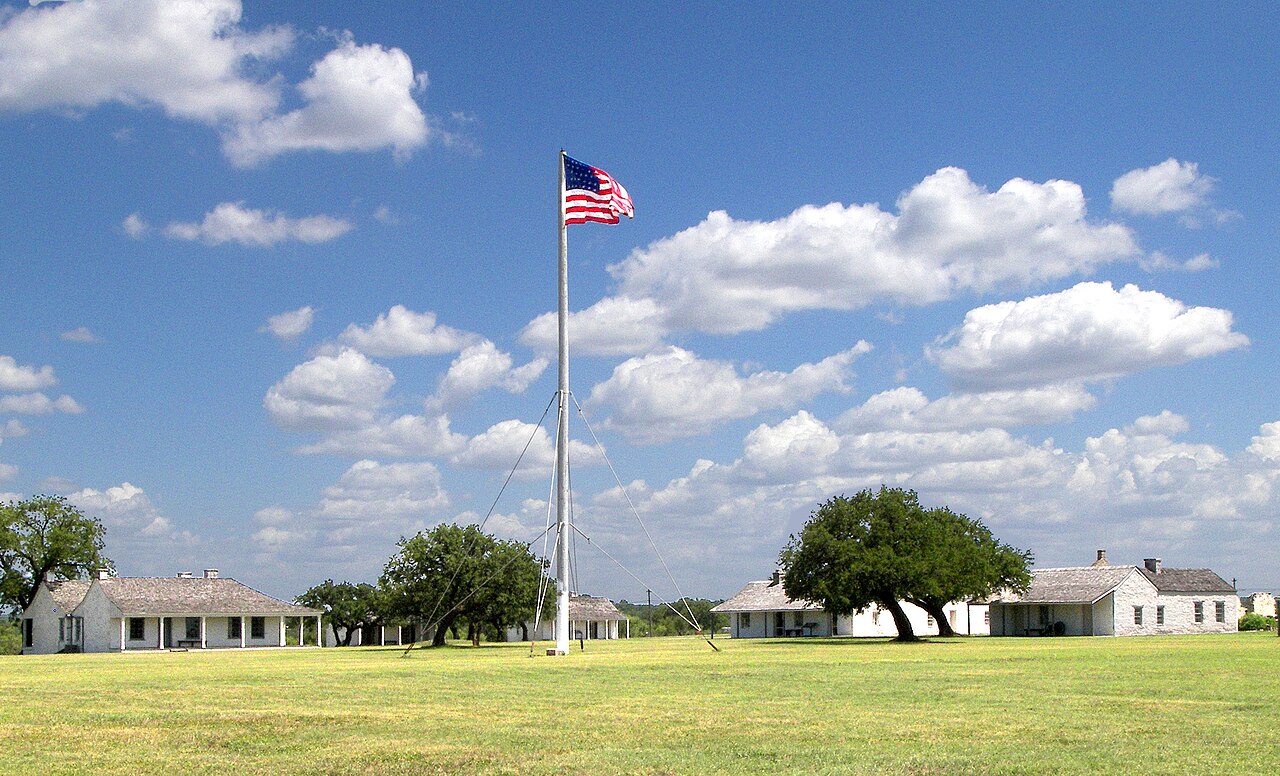
English: The parade grounds of Fort McKavett State Historic Site and restored officer quarters located west of Menard, Texas, United States. The ruins were listed on the National Register of Historic Places on July 14, 1971. |
| Date | Taken on 18 July 2010 |
| Source | Own work |
| Author | Larry D. Moore |
| Permission (Reusing this file) |
© 2010 Larry D. Moore. Licensed under CC BY 4.0. Attribution Specification: Reuse without attribution is a violation of the license. The photographer's name and the link to the license are required. A link back to this source is requested. Example: Larry D. Moore, CC BY 4.0, Wikimedia Commons. |
| Camera location | | View this and other nearby images on: OpenStreetMap |
|---|
Licensing
Larry D. Moore, the copyright holder of this work, hereby publishes it under the following licence:
This file is licensed under the Creative Commons Attribution 4.0 International licence.
Attribution: Larry D. Moore
- You are free:
- to share – to copy, distribute and transmit the work
- to remix – to adapt the work
- Under the following conditions:
- attribution – You must give appropriate credit, provide a link to the licence, and indicate if changes were made. You may do so in any reasonable manner, but not in any way that suggests the licensor endorses you or your use.
File history
Click on a date/time to view the file as it appeared at that time.
| Date/Time | Thumbnail | Dimensions | User | Comment | |
|---|---|---|---|---|---|
| current | 21:43, 15 February 2020 | | 1,823 × 1,105 (786 KB) | wikimediacommons>Jim Evans | Brightened |
File usage
The following page uses this file: