Fort Jesus-Map-XVIIs1.jpg
From Warlike
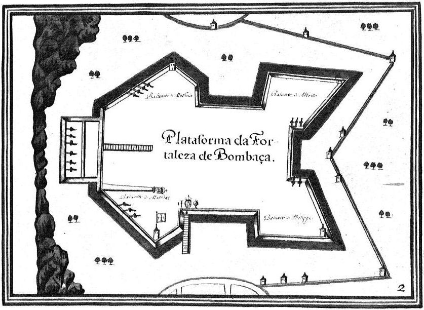
File:Fort Jesus-Map-XVIIs1.jpg
Size of this preview: 800 × 585 pixels. Other resolutions: 320 × 234 pixels | 640 × 468 pixels | 837 × 612 pixels.
Original file (837 × 612 pixels, file size: 116 KB, MIME type: image/jpeg)
| Description |
Fort Jesus-Map-XVII |
|||||||||
| Date | ||||||||||
| Source | Own work after File:Fort Jesus-Map-XVIIs.jpg | |||||||||
| Creator | ||||||||||
| Geotemporal data | ||||||||||
| Bounding box |
|
|||||||||
| Georeferencing | ||||||||||
|
This work is in the public domain in its country of origin and other countries and areas where the copyright term is the author's life plus 70 years or fewer. | |
| This file has been identified as being free of known restrictions under copyright law, including all related and neighbouring rights. | |
File history
Click on a date/time to view the file as it appeared at that time.
| Date/Time | Thumbnail | Dimensions | User | Comment | |
|---|---|---|---|---|---|
| current | 15:50, 12 December 2011 | | 837 × 612 (116 KB) | wikimediacommons>Ori~ | {{Information |Description=Fort Jesus-Map-XVII |Source={{own}} after File:Fort Jesus-Map-XVIIs.jpg |Date=2011-12-12 |Author= Ori~ |Permission= |other_versions= }} {{PD-old}} Category:Fort Jesus Category:Old maps of Kenya [[Categ |
File usage
There are no pages that use this file.