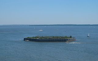
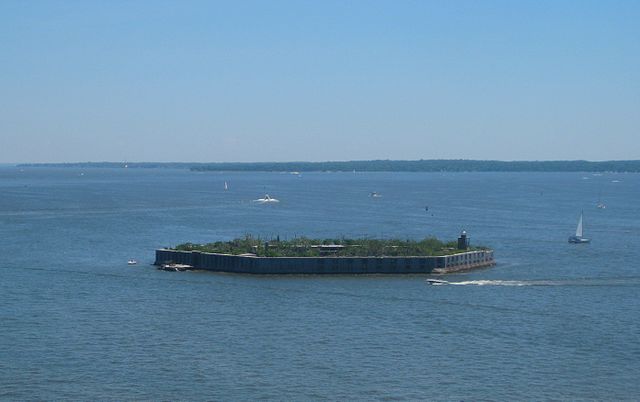
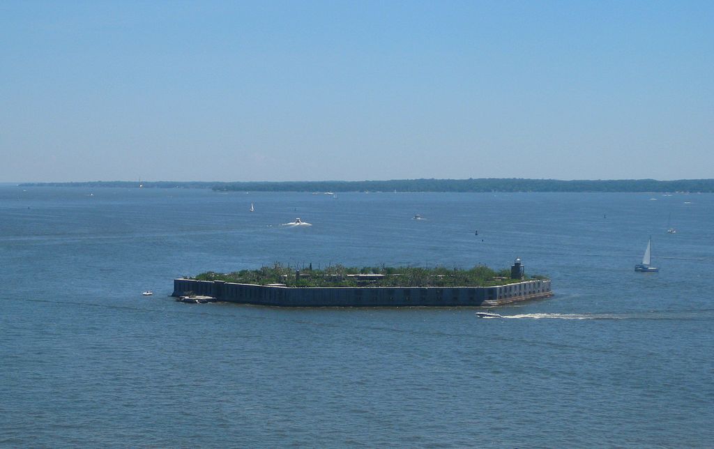
Fort Carroll, Baltimore (12136792616).jpg
From Warlike

Size of this preview: 800 × 503 pixels. Other resolutions: 320 × 201 pixels | 640 × 402 pixels | 1,024 × 644 pixels | 1,280 × 805 pixels | 2,782 × 1,749 pixels.
Original file (2,782 × 1,749 pixels, file size: 2.57 MB, MIME type: image/jpeg)
.jpg)
Summary
| Description | Fort Carroll, Baltimore |
| Date | |
| Source | Fort Carroll, Baltimore |
| Author | WorldIslandInfo.com |
| Camera location | | View this and other nearby images on: OpenStreetMap |
|---|
.jpg¶ms=039.214599_N_-076.519153_E_globe:Earth_type:camera_source:Flickr_&language=en-gb)
Licensing
This file is licensed under the Creative Commons Attribution 2.0 Generic licence.
- You are free:
- to share – to copy, distribute and transmit the work
- to remix – to adapt the work
- Under the following conditions:
- attribution – You must give appropriate credit, provide a link to the licence, and indicate if changes were made. You may do so in any reasonable manner, but not in any way that suggests the licensor endorses you or your use.
| This image was originally posted to Flickr by WorldIslandInfo.com at https://flickr.com/photos/76074333@N00/12136792616. It was reviewed on 3 March 2017 by FlickreviewR and was confirmed to be licensed under the terms of the cc-by-2.0. |
File history
Click on a date/time to view the file as it appeared at that time.
| Date/Time | Thumbnail | Dimensions | User | Comment | |
|---|---|---|---|---|---|
| current | 12:16, 3 March 2017 | | 2,782 × 1,749 (2.57 MB) | wikimediacommons>XXN | Transferred from Flickr via Flickr2Commons |
File usage
There are no pages that use this file.
.jpg)