Fasil Ghebbi, Gondar Region-139582.jpg
From Warlike

Size of this preview: 800 × 600 pixels. Other resolutions: 320 × 240 pixels | 640 × 480 pixels | 1,024 × 768 pixels | 1,280 × 960 pixels | 2,048 × 1,536 pixels.
Original file (2,048 × 1,536 pixels, file size: 1.54 MB, MIME type: image/jpeg)
Summary
| Description |
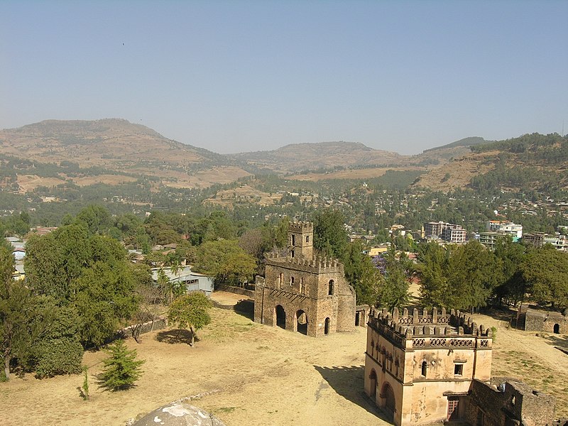
English: Fasil Ghebbi Français : Fasil Ghebi Español: Fasil Ghebi - Región de Gondar 日本語: ファジル・ゲビ、ゴンダール地域 中文:贡德尔地区的法西尔盖比城堡及古建筑 Nederlands: Fasil Ghebbi, Gondar regio Русский: Крепость Фасил-Гебби, район города Гондэр العربية: فاسيل غيبي Română: Fasil Ghebbi, Regiunea Gondar (Etiopia) |
||||
| Date | |||||
| Source |
|
||||
| Author | Francesco Bandarin |
| Object location | | View this and other nearby images on: OpenStreetMap |
|---|
Licensing
This file is licensed under the Creative Commons Attribution-ShareAlike 3.0 IGO licence.
- You are free:
- to share – to copy, distribute and transmit the work
- to remix – to adapt the work
- Under the following conditions:
- attribution – You must give appropriate credit, provide a link to the licence, and indicate if changes were made. You may do so in any reasonable manner, but not in any way that suggests the licensor endorses you or your use.
- share alike – If you remix, transform, or build upon the material, you must distribute your contributions under the same or compatible licence as the original.
File history
Click on a date/time to view the file as it appeared at that time.
| Date/Time | Thumbnail | Dimensions | User | Comment | |
|---|---|---|---|---|---|
| current | 11:09, 22 December 2015 | | 2,048 × 1,536 (1.54 MB) | wikimediacommons>Eric00000007 |
File usage
There are no pages that use this file.