Dresba.jpg
From Warlike
Size of this preview: 750 × 600 pixels. Other resolutions: 300 × 240 pixels | 600 × 480 pixels | 958 × 766 pixels.
Original file (958 × 766 pixels, file size: 54 KB, MIME type: image/jpeg)
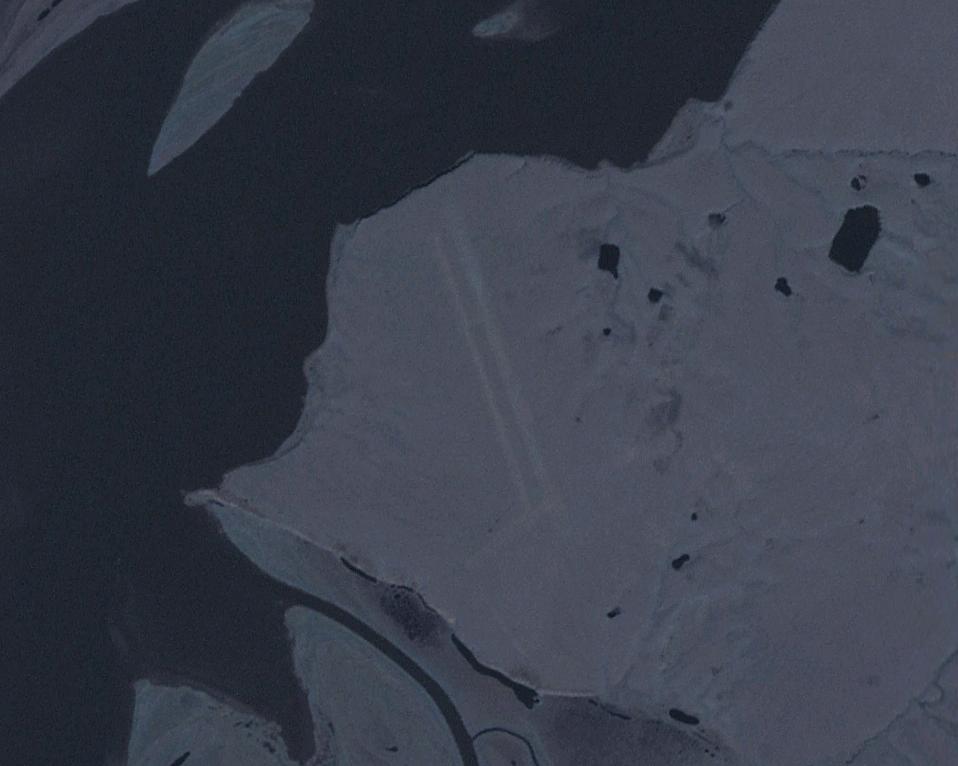
| Description | Dresba airfield, former Soviet Union (east of the Kolyma river, near the settlement of Mikhalkino). | |||
| Date | Unknown date | |||
| Source | Image from NASA World Wind. | |||
| Author | NASA | |||
| Permission (Reusing this file) |
|

File history
Click on a date/time to view the file as it appeared at that time.
| Date/Time | Thumbnail | Dimensions | User | Comment | |
|---|---|---|---|---|---|
| current | 18:43, 3 January 2010 | | 958 × 766 (54 KB) | wikimediacommons>Hardscarf | {{Information |Description=Dresba airfield, former Soviet Union (east of the Kolyma river, near the settlement of Mikhalkino). |Source=Image from NASA World Wind. |Date=n/a |Author=NASA |Permission={{PD-USGov-NASA}} |other_versions= }} [[Category:Soviet a |
File usage
There are no pages that use this file.