Dammtor Barth.jpg
From Warlike

Size of this preview: 374 × 600 pixels. Other resolutions: 150 × 240 pixels | 299 × 480 pixels | 479 × 768 pixels | 639 × 1,024 pixels | 1,277 × 2,048 pixels | 5,000 × 8,015 pixels.
Original file (5,000 × 8,015 pixels, file size: 12.88 MB, MIME type: image/jpeg)
Summary
| Description |
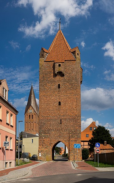
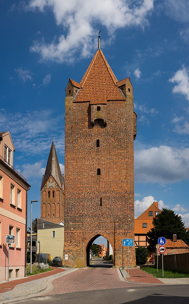
Deutsch: Das Dammtor in Bath, Westseite
English: The Dammtor in Barth, Germany, seen from the west |
| Date | |
| Source | Own work |
| Author | Jörg Braukmann |
| Camera location | | View this and other nearby images on: OpenStreetMap |
|---|
|
This is a photo of the architectural monument in Vorpommern-Rügen identified by the ID 105
|
Licensing
I, the copyright holder of this work, hereby publish it under the following licence:
This file is licensed under the Creative Commons Attribution-Share Alike 4.0 International licence.
- You are free:
- to share – to copy, distribute and transmit the work
- to remix – to adapt the work
- Under the following conditions:
- attribution – You must give appropriate credit, provide a link to the licence, and indicate if changes were made. You may do so in any reasonable manner, but not in any way that suggests the licensor endorses you or your use.
- share alike – If you remix, transform, or build upon the material, you must distribute your contributions under the same or compatible licence as the original.

|
This image was uploaded as part of Wiki Loves Monuments 2021.
|
| Annotations | This image is annotated: View the annotations at Commons |
This image has been assessed using the Quality image guidelines and is considered a Quality image.
|
File history
Click on a date/time to view the file as it appeared at that time.
| Date/Time | Thumbnail | Dimensions | User | Comment | |
|---|---|---|---|---|---|
| current | 14:01, 15 September 2021 | | 5,000 × 8,015 (12.88 MB) | wikimediacommons>Milseburg | Uploaded own work with UploadWizard |
File usage
There are no pages that use this file.