DEW radar site in Greenland · DF-SD-02-09513.JPG
From Warlike
Size of this preview: 800 × 525 pixels. Other resolutions: 320 × 210 pixels | 640 × 420 pixels | 1,024 × 672 pixels | 1,280 × 840 pixels | 2,000 × 1,312 pixels.
Original file (2,000 × 1,312 pixels, file size: 864 KB, MIME type: image/jpeg)
.JPG)
| Description |
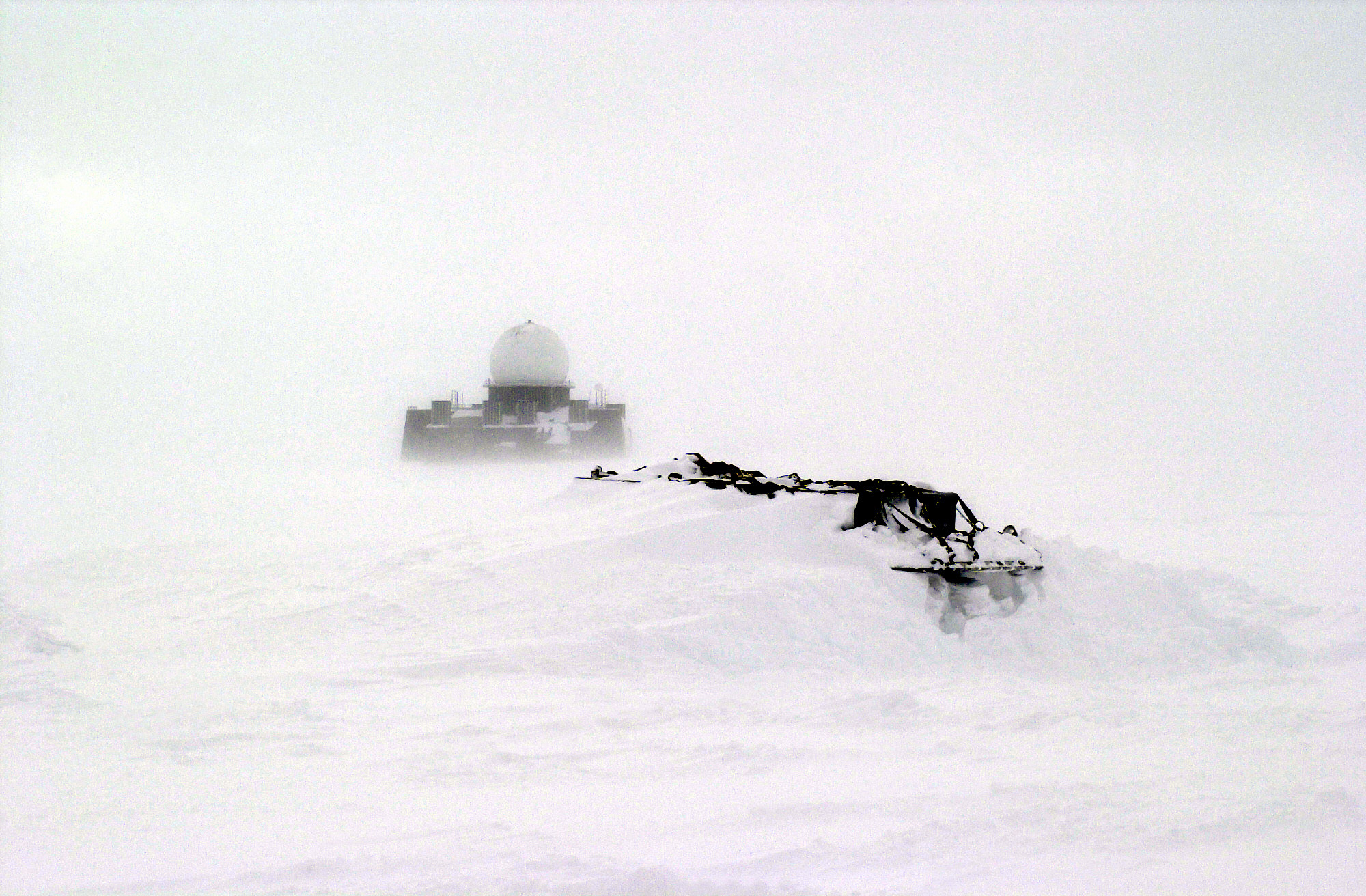
The w:109th Airlift Wing (AW) Arctic Aircraft Recovery School (aka "Kool School") members will recover these snow bound equipment pallets. In the background is an abandoned Early Warning Radar Site, part of the former DEW (Distant Early Warning) system. The school is located on the ice cap of Greenland just three miles from the abandoned DYE-2 site. Location: Kangerlussuaq, west Greenland |
|||
| Date | 2 May 2001 | |||
| Source | High resolution download from http://www.dodmedia.osd.mil/DVIC_View/Still_Details.cfm?SDAN=DFSD0209513&JPGPath=/Assets/Still/2002/Air_Force/DF-SD-02-09513.JPG. | |||
| Author | Catherine Crouch | |||
| Permission (Reusing this file) |
|
|||
| Other versions | Image:DEW radar site in Greenland (cropped).JPG |

| Catherine Crouch |
|||
|---|---|---|---|
| Description | American photographer and airman | ||
| Work period | 2000s | ||
| Authority control | |||
| Camera location | | View this and other nearby images on: OpenStreetMap |
|---|
File history
Click on a date/time to view the file as it appeared at that time.
| Date/Time | Thumbnail | Dimensions | User | Comment | |
|---|---|---|---|---|---|
| current | 03:58, 26 March 2008 | | 2,000 × 1,312 (864 KB) | wikimediacommons>Struthious Bandersnatch | Oops, uploaded thumbnail before |
File usage
There are no pages that use this file.