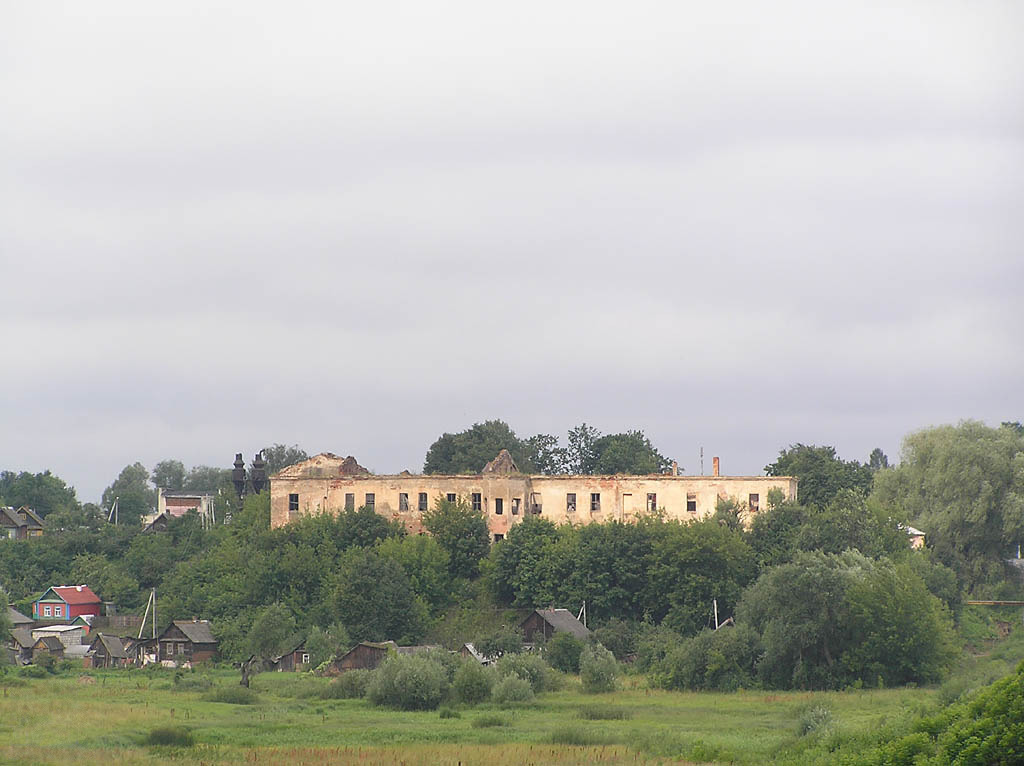
Bychaŭ. Быхаў (2007).jpg
From Warlike
Size of this preview: 800 × 598 pixels. Other resolutions: 320 × 239 pixels | 640 × 479 pixels | 1,024 × 766 pixels.
Original file (1,024 × 766 pixels, file size: 129 KB, MIME type: image/jpeg)
| Description |
Беларуская (тарашкевіца): Быхаў |
||
| Date | |||
| Source | http://ua.vlasenko.net/by.bykhov/p7121154.jpg | ||
| Author | Petro Vlasenko | ||
| Permission (Reusing this file) |
This file comes from the site ua.vlasenko.net and is copyrighted. The copyright owner of the file, Petro Vlasenko licensed the files from this website under dual licence: Creative Commons Attribution-Share Alike 3.0 Unported Licence and GNU Free Documentation License. Note: this permission is only for images from the site http://ua.vlasenko.net. It does not apply to images from sites maps.vlasenko.net and sk.vlasenko.net. This file is licensed under the Creative Commons Attribution-Share Alike 3.0 Unported licence.
|
||
| OpenStreetMap | Way 596936627 |

.jpg)
| Object location | | View this and other nearby images on: OpenStreetMap |
|---|
.jpg¶ms=053.518068_N_0030.259158_E_globe:Earth_class:object_type:object__&language=en-gb)
File history
Click on a date/time to view the file as it appeared at that time.
| Date/Time | Thumbnail | Dimensions | User | Comment | |
|---|---|---|---|---|---|
| current | 10:33, 22 April 2012 | | 1,024 × 766 (129 KB) | wikimediacommons>Quibik | Removed the watermark. [using an external editor] |
File usage
There are no pages that use this file.
.jpg)