Australian military map of Fuiloro 1942.jpeg
From Warlike

Size of this preview: 541 × 599 pixels. Other resolutions: 217 × 240 pixels | 433 × 480 pixels | 693 × 768 pixels | 925 × 1,024 pixels | 1,925 × 2,132 pixels.
Original file (1,925 × 2,132 pixels, file size: 433 KB, MIME type: image/jpeg)
Summary
| Description |
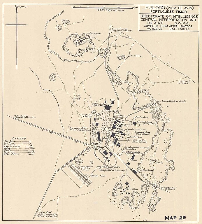
English: Australian military map of Fuiloro 1942 |
| Date | |
| Source | AN AUSTRALIAN ARMY SITE AND TRAVEL GUIDE, LAUTEM DISTRICT, FUILORO (VILA DE AVIS) , von Edward Willis, abgerufen am 11. Februar 2024. |
| Author | Unknown |
Licensing
|
This work is in the public domain in its country of origin and other countries and areas where the copyright term is the author's life plus 70 years or fewer. | |
| This file has been identified as being free of known restrictions under copyright law, including all related and neighbouring rights. | |
File history
Click on a date/time to view the file as it appeared at that time.
| Date/Time | Thumbnail | Dimensions | User | Comment | |
|---|---|---|---|---|---|
| current | 15:46, 11 February 2024 | | 1,925 × 2,132 (433 KB) | wikimediacommons>J. Patrick Fischer | {{Information |description={{en|1=Australian military map of Fuiloro 1942}} |date=1942-12-17 |source=[https://doublereds.org.au/forums/topic/436-fuiloro-vila-de-avis-lautem-district-wwii-in-east-timor-an-australian-army-site-and-travel-guide/ '' AN AUSTRALIAN ARMY SITE AND TRAVEL GUIDE, LAUTEM DISTRICT, FUILORO (VILA DE AVIS) '', von Edward Willis], abgerufen am 11. Februar 2024. |permission= |author= {{unknown}} |other versions= }} =={{int:license-header}}== {{PD-old}} [[Category:Old maps... |
File usage
There are no pages that use this file.