Andrews AFB MD - 10 Apr 1988.jpg
From Warlike
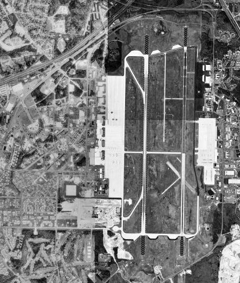
File:Andrews AFB MD - 10 Apr 1988.jpg
No higher resolution available.
Andrews_AFB_MD_-_10_Apr_1988.jpg (470 × 554 pixels, file size: 96 KB, MIME type: image/jpeg)
Summary
| Description | USGS digital orthophoto of Andrews Air Force Base in Camp Springs, Maryland, United States. |
| Date | Taken on 10 April 1988 |
| Source |
USGS The National Map, via MSR Maps (formerly TerraServer-USA) |
| Author | United States Geological Survey (USGS) |
| Permission (Reusing this file) |
Public Domain |
Licensing
This image is in the public domain in the United States because it only contains materials that originally came from the United States Geological Survey, an agency of the United States Department of the Interior. For more information, see the official USGS copyright policy.
|
File history
Click on a date/time to view the file as it appeared at that time.
| Date/Time | Thumbnail | Dimensions | User | Comment | |
|---|---|---|---|---|---|
| current | 15:14, 27 March 2008 | | 470 × 554 (96 KB) | wikimediacommons>Bwmoll3 | {{Information |Description=Andrews AFB, MD |Source=USGS Via Terraserver |Date=10 Apr 1988 |Author=USGS |Permission=USGOV-PD |other_versions= }} |
File usage
The following 2 pages use this file: