412. Fort Constitution looking towards Fort McClary (3492920200).jpg
From Warlike
Size of this preview: 800 × 531 pixels. Other resolutions: 320 × 212 pixels | 640 × 424 pixels | 1,024 × 679 pixels | 1,280 × 849 pixels | 1,544 × 1,024 pixels.
Original file (1,544 × 1,024 pixels, file size: 218 KB, MIME type: image/jpeg)
.jpg)
Summary
| Description |
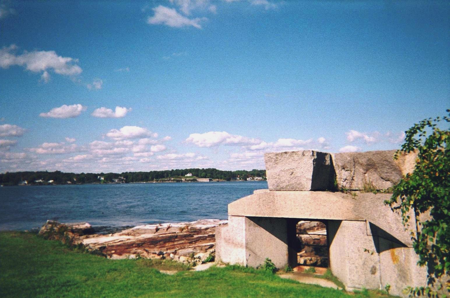
The Piscataquis River in NH. Fort McClary is the earlier Fort Named by the area's original Abenaki inhabitants, "Piscataqua" is believed to be a combination of "peske" (branch) with "tegwe" (a river with a strong current, possibly tidal). The first known European to explore the river was Martin Pring in 1603. Captain John Smith placed a spelling similar to "Piscataqua" for the region on his map of 1614. The river was site of the first sawmill in the colonies in 1623, the same year the contemporary spelling "Piscataqua" was first recorded. <a href="http://en.wikipedia.org/wiki/Piscataqua_River" rel="nofollow">en.wikipedia.org/wiki/Piscataqua_River</a> |
| Date | |
| Source | 412. Fort Constitution looking towards Fort McClary |
| Author | InAweofGod'sCreation |
| Camera location | | View this and other nearby images on: OpenStreetMap |
|---|
.jpg¶ms=043.071074_N_-070.710598_E_globe:Earth_type:camera_source:Flickr_&language=en-gb)
Licensing
This file is licensed under the Creative Commons Attribution 2.0 Generic licence.
- You are free:
- to share – to copy, distribute and transmit the work
- to remix – to adapt the work
- Under the following conditions:
- attribution – You must give appropriate credit, provide a link to the licence, and indicate if changes were made. You may do so in any reasonable manner, but not in any way that suggests the licensor endorses you or your use.
| This image was originally posted to Flickr by InAweofGod'sCreation at https://flickr.com/photos/36783643@N05/3492920200 (archive). It was reviewed on 3 July 2018 by FlickreviewR 2 and was confirmed to be licensed under the terms of the cc-by-2.0. |
File history
Click on a date/time to view the file as it appeared at that time.
| Date/Time | Thumbnail | Dimensions | User | Comment | |
|---|---|---|---|---|---|
| current | 05:35, 3 July 2018 | | 1,544 × 1,024 (218 KB) | wikimediacommons>Ser Amantio di Nicolao | Transferred from Flickr via #flickr2commons |
File usage
There are no pages that use this file.
.jpg)